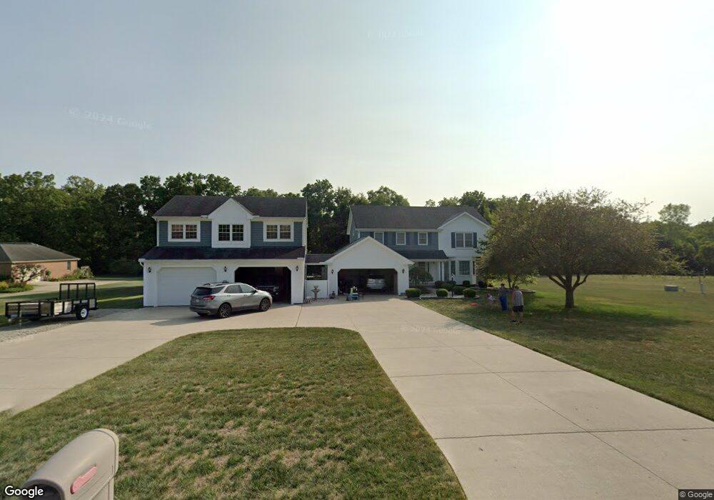
440 Forrestwood Ave West Jefferson, OH 43162
Estimated Value: $442,000 - $589,000
4
Beds
3
Baths
2,162
Sq Ft
$238/Sq Ft
Est. Value
About This Home
This home is located at 440 Forrestwood Ave, West Jefferson, OH 43162 and is currently estimated at $514,980, approximately $238 per square foot. 440 Forrestwood Ave is a home located in Madison County with nearby schools including Norwood Elementary School, West Jefferson Middle School, and West Jefferson High School.
Ownership History
Date
Name
Owned For
Owner Type
Purchase Details
Closed on
Jan 31, 2019
Sold by
Anders David W and General Partner Of Anders Bodi
Bought by
Anders David W and Bodi Suzanne
Current Estimated Value
Purchase Details
Closed on
Mar 18, 2004
Sold by
Anders David W and Anders Suzanne
Bought by
Bodi Anders
Home Financials for this Owner
Home Financials are based on the most recent Mortgage that was taken out on this home.
Original Mortgage
$141,500
Interest Rate
5.99%
Mortgage Type
Purchase Money Mortgage
Purchase Details
Closed on
Dec 2, 1998
Sold by
Banfield James W
Bought by
Bodi David W Anders Suzanne
Home Financials for this Owner
Home Financials are based on the most recent Mortgage that was taken out on this home.
Original Mortgage
$158,200
Interest Rate
4.88%
Mortgage Type
New Conventional
Purchase Details
Closed on
Jun 15, 1993
Bought by
Banfield James and Ann Marie
Create a Home Valuation Report for This Property
The Home Valuation Report is an in-depth analysis detailing your home's value as well as a comparison with similar homes in the area
Home Values in the Area
Average Home Value in this Area
Purchase History
| Date | Buyer | Sale Price | Title Company |
|---|---|---|---|
| Anders David W | -- | None Available | |
| Bodi Anders | -- | Ati Title | |
| Anders David W | -- | Ati Title Agency Of Ohio Inc | |
| Bodi David W Anders Suzanne | $226,000 | -- | |
| Banfield James | $161,000 | -- |
Source: Public Records
Mortgage History
| Date | Status | Borrower | Loan Amount |
|---|---|---|---|
| Previous Owner | Anders David W | $141,500 | |
| Previous Owner | Bodi David W Anders Suzanne | $158,200 |
Source: Public Records
Tax History Compared to Growth
Tax History
| Year | Tax Paid | Tax Assessment Tax Assessment Total Assessment is a certain percentage of the fair market value that is determined by local assessors to be the total taxable value of land and additions on the property. | Land | Improvement |
|---|---|---|---|---|
| 2024 | $6,768 | $150,710 | $22,100 | $128,610 |
| 2023 | $6,768 | $150,710 | $22,100 | $128,610 |
| 2022 | $5,820 | $117,290 | $18,380 | $98,910 |
| 2021 | $5,844 | $117,290 | $18,380 | $98,910 |
| 2020 | $5,945 | $117,290 | $18,380 | $98,910 |
| 2019 | $5,785 | $112,350 | $18,380 | $93,970 |
| 2018 | $5,396 | $112,350 | $18,380 | $93,970 |
| 2017 | $4,683 | $112,350 | $18,380 | $93,970 |
| 2016 | $4,786 | $97,220 | $22,050 | $75,170 |
| 2015 | $4,885 | $97,220 | $22,050 | $75,170 |
| 2014 | $4,885 | $97,220 | $22,050 | $75,170 |
| 2013 | -- | $103,820 | $25,360 | $78,460 |
Source: Public Records
Map
Nearby Homes
- 1000 W Main St Unit Lot 13
- 555 Kirkwood Dr
- 622 Brookdale Dr
- 283 Blendon Rd
- 22 N Franklin St
- 248 London Rd
- 304 Middle Dr
- 283 Madison Dr N
- 0 W Jeff Kiousville Rd Unit 225000725
- 200 Smith St
- 106 Kings Way Unit 4
- 63 Jones St
- 74 S Chester St
- 545 Trillium Dr
- 360 State Route 142 NE
- 125 Dogwood Ct
- 270 State Route 142 NE
- 312 Larkspur Dr
- 1615 Olmstead Rd
- 430 Trillium Dr
- 430 Forrestwood Ave
- 480 Forrestwood Ave
- 450 Taylor Blair Rd
- 420 Forrestwood Ave
- 500 Forrestwood Ave
- 480 Taylor Blair Rd
- 445 Taylor Blair Rd
- 465 Taylor Blair Rd
- 485 Taylor Blair Rd
- 550 Forrestwood Ave
- 330 Taylor Blair Rd
- 499 Taylor Blair Rd
- 355 Taylor Blair Rd
- 422 Haymarket St
- 450 Haymarket Rd
- 422 Haymarket Rd
- 488 Haymarket Rd
- 392 Haymarket Rd
- 325 Taylor Blair Rd
- 496 Haymarket Rd