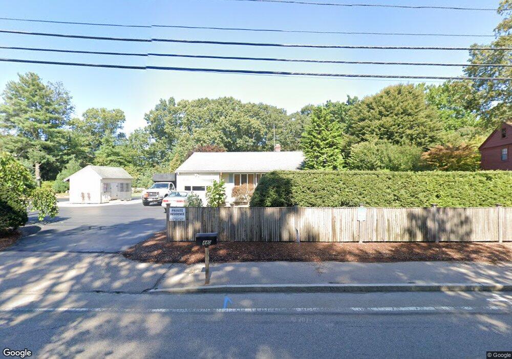
440 Franklin St Wrentham, MA 02093
Estimated Value: $541,000 - $644,000
2
Beds
2
Baths
986
Sq Ft
$603/Sq Ft
Est. Value
About This Home
This home is located at 440 Franklin St, Wrentham, MA 02093 and is currently estimated at $594,333, approximately $602 per square foot. 440 Franklin St is a home located in Norfolk County with nearby schools including Delaney Elementary School and Charles E Roderick.
Ownership History
Date
Name
Owned For
Owner Type
Purchase Details
Closed on
May 5, 1995
Sold by
Minacapelli Thomas J and Minacapelli Denise M
Bought by
Brown David
Current Estimated Value
Home Financials for this Owner
Home Financials are based on the most recent Mortgage that was taken out on this home.
Original Mortgage
$81,000
Interest Rate
8.36%
Mortgage Type
Purchase Money Mortgage
Create a Home Valuation Report for This Property
The Home Valuation Report is an in-depth analysis detailing your home's value as well as a comparison with similar homes in the area
Home Values in the Area
Average Home Value in this Area
Purchase History
| Date | Buyer | Sale Price | Title Company |
|---|---|---|---|
| Brown David | $135,000 | -- |
Source: Public Records
Mortgage History
| Date | Status | Borrower | Loan Amount |
|---|---|---|---|
| Open | Brown David | $6,530 | |
| Closed | Brown David | $81,000 |
Source: Public Records
Tax History Compared to Growth
Tax History
| Year | Tax Paid | Tax Assessment Tax Assessment Total Assessment is a certain percentage of the fair market value that is determined by local assessors to be the total taxable value of land and additions on the property. | Land | Improvement |
|---|---|---|---|---|
| 2025 | $6,401 | $552,300 | $339,200 | $213,100 |
| 2024 | $6,037 | $503,100 | $339,200 | $163,900 |
| 2023 | $5,731 | $454,100 | $308,300 | $145,800 |
| 2022 | $5,663 | $414,300 | $280,200 | $134,100 |
| 2021 | $5,738 | $407,800 | $280,200 | $127,600 |
| 2020 | $5,156 | $361,800 | $230,300 | $131,500 |
| 2019 | $5,078 | $359,600 | $230,300 | $129,300 |
| 2018 | $5,055 | $355,000 | $230,400 | $124,600 |
| 2017 | $4,812 | $337,700 | $226,000 | $111,700 |
| 2016 | $4,698 | $329,000 | $219,500 | $109,500 |
| 2015 | $4,567 | $304,900 | $211,000 | $93,900 |
| 2014 | $4,461 | $291,400 | $202,900 | $88,500 |
Source: Public Records
Map
Nearby Homes
- 570 Franklin St
- 131 Creek St Unit 7
- 10 Nature View Dr
- 15 Nature View Dr
- 50 Reed Fulton Ave Unit Lot 61
- 11 Earle Stewart Ln
- 45 Joshua Rd
- Lot 3 - 14 Earle Stewart Ln
- 246 Forest Grove Ave
- 270 Dedham St
- Lot 1 - Blueberry 2 Car Plan at King Philip Estates
- Lot 8 - Blueberry 2 Car Plan at King Philip Estates
- Lot 6 - Blueberry 3 Car Plan at King Philip Estates
- Lot 2 - Camden 2 Car Plan at King Philip Estates
- Lot 7 - Cedar Plan at King Philip Estates
- Lot 4 - Hemingway 2 Car Plan at King Philip Estates
- Lot 3 - Blueberry 2 Car Plan at King Philip Estates
- 1 Lorraine Metcalf Dr
- 3 Oak Rd
- 319 Taunton St
- 439 Franklin St
- 430 Franklin St
- 28 Park St
- 443 Franklin St
- 451 Franklin St
- 420 Franklin St
- 431 Franklin St
- 435 Franklin St
- 35 Park St
- 447 Franklin St
- 447 Franklin St Unit 2
- 425 Franklin St
- 421 Franklin St
- 471 Franklin St
- 36 Park St
- 405 Franklin St
- 415 Franklin St
- 400 Franklin St
- 44 Park St
- 477 Franklin St