440 High Hopes Farm Rd Dawsonville, GA 30534
Dawson County NeighborhoodEstimated Value: $515,000 - $609,567
3
Beds
1
Bath
3,896
Sq Ft
$144/Sq Ft
Est. Value
About This Home
This home is located at 440 High Hopes Farm Rd, Dawsonville, GA 30534 and is currently estimated at $561,189, approximately $144 per square foot. 440 High Hopes Farm Rd is a home located in Dawson County with nearby schools including Robinson Elementary School, Dawson County Junior High School, and Dawson County Middle School.
Ownership History
Date
Name
Owned For
Owner Type
Purchase Details
Closed on
Jun 14, 2017
Sold by
Adams Sandy Lanier
Bought by
Jones Dana Marie
Current Estimated Value
Purchase Details
Closed on
Sep 28, 2009
Sold by
Adams Josephine E
Bought by
Adams Sandy Lanier
Purchase Details
Closed on
Feb 10, 1981
Sold by
Strother Dorothy E
Bought by
Adams Josephine E
Purchase Details
Closed on
May 30, 1978
Bought by
Strother Dorothy E
Create a Home Valuation Report for This Property
The Home Valuation Report is an in-depth analysis detailing your home's value as well as a comparison with similar homes in the area
Home Values in the Area
Average Home Value in this Area
Purchase History
| Date | Buyer | Sale Price | Title Company |
|---|---|---|---|
| Jones Dana Marie | -- | -- | |
| Adams Sandy Lanier | -- | -- | |
| Adams Josephine E | $68,000 | -- | |
| Strother Dorothy E | -- | -- |
Source: Public Records
Tax History Compared to Growth
Tax History
| Year | Tax Paid | Tax Assessment Tax Assessment Total Assessment is a certain percentage of the fair market value that is determined by local assessors to be the total taxable value of land and additions on the property. | Land | Improvement |
|---|---|---|---|---|
| 2024 | $278 | $183,199 | $66,208 | $116,991 |
| 2023 | $278 | $183,199 | $66,208 | $116,991 |
| 2022 | $192 | $190,040 | $68,680 | $121,360 |
| 2021 | $128 | $150,224 | $68,680 | $81,544 |
| 2020 | $172 | $153,624 | $71,880 | $81,744 |
| 2019 | $176 | $153,744 | $71,880 | $81,864 |
| 2018 | $172 | $153,744 | $71,880 | $81,864 |
| 2015 | $91 | $146,524 | $71,410 | $75,114 |
| 2014 | $88 | $136,166 | $71,410 | $64,756 |
| 2013 | -- | $129,246 | $71,409 | $57,836 |
Source: Public Records
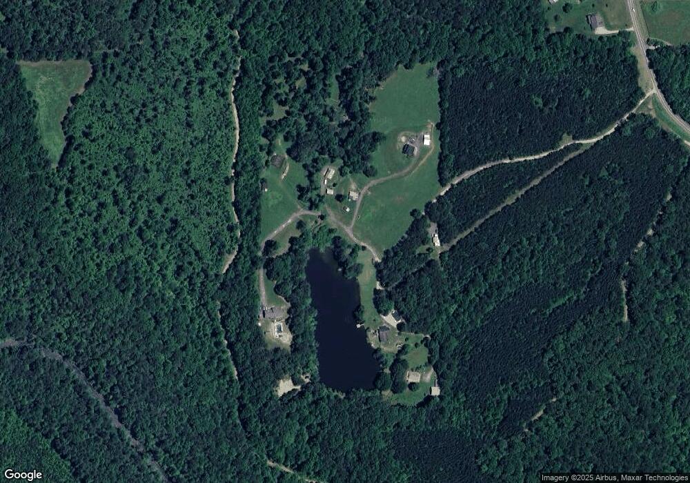
Map
Nearby Homes
- 3066 Sweetwater Juno Rd
- 1527 Goldmine Rd
- 0 Stone Place Unit 10549744
- 0 Stone Place Unit 7579161
- 31 Haygood Cir
- 105 Colly Ln
- 167 Nugget Ridge Rd
- 417 Stone Place
- 0 Hubbard Rd Unit 7586986
- 237 Nugget Ridge Rd
- 119 Sweetwater Juno Rd
- 683 Duck Thurmond Rd
- 0 Sweetwater Church Rd Unit 10239592
- 0 Sweetwater Church Rd Unit 7322282
- 0 Cowart Rd Unit LOT 1 10516035
- 0 Cowart Rd Unit 10392853
- 0 Cowart Rd Unit 7469189
- 146 Cantrell Rd
- 0 Cleve Wright Rd Unit 10602602
- 0 Cleve Wright Rd Unit 7647784
- 505 High Hopes Farm Rd
- 360 High Hopes Farm Rd
- 2555 Sweetwater Juno Rd
- 176 Fire Fly Way
- 2600 Sweetwater Juno Rd Unit JUNO
- 2602 Sweetwater Juno Rd
- 2681 Sweetwater Juno Rd
- 2608 Sweetwater Juno Rd
- 297 Reagan Trail
- 300 Reagan Trail
- 1739 Sweetwater Juno Rd
- 3375 Sweetwater Juno Rd
- LOT 1 Sweetwater Juno Rd
- LOT 5 Sweetwater Juno Rd
- 200 Reagan Trail
- 0 Steele Bridge Rd Unit 8435878
- 0 Steele Bridge Rd Unit 5967056
- 0 Steele Bridge Rd Unit 8327926
- 00 Steele Bridge Rd
- 2.8+- Steele Bridge Rd