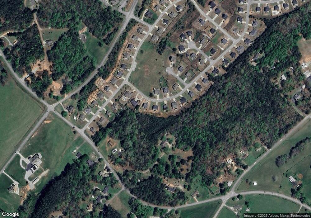
440 Huntington Ln Unit 71 Cornelia, GA 30531
Estimated Value: $368,000 - $456,000
4
Beds
3
Baths
1,692
Sq Ft
$239/Sq Ft
Est. Value
About This Home
This home is located at 440 Huntington Ln Unit 71, Cornelia, GA 30531 and is currently estimated at $403,748, approximately $238 per square foot. 440 Huntington Ln Unit 71 is a home located in Habersham County with nearby schools including Level Grove Elementary School, South Habersham Middle School, and Habersham Success Academy.
Ownership History
Date
Name
Owned For
Owner Type
Purchase Details
Closed on
Nov 8, 2019
Sold by
Cook Residential Llc
Bought by
Maney Brittney and Sims Charles D
Current Estimated Value
Home Financials for this Owner
Home Financials are based on the most recent Mortgage that was taken out on this home.
Original Mortgage
$149,900
Outstanding Balance
$130,676
Interest Rate
3.5%
Mortgage Type
New Conventional
Estimated Equity
$273,072
Purchase Details
Closed on
Jan 4, 2019
Sold by
Shadow Stone Partners Llc
Bought by
Cook Residential Llc
Home Financials for this Owner
Home Financials are based on the most recent Mortgage that was taken out on this home.
Original Mortgage
$171,000
Interest Rate
4.7%
Mortgage Type
Commercial
Purchase Details
Closed on
Nov 16, 2018
Sold by
Northeast Georgia Bank
Bought by
Shadow Stone Partners Llc
Home Financials for this Owner
Home Financials are based on the most recent Mortgage that was taken out on this home.
Original Mortgage
$171,000
Interest Rate
4.7%
Mortgage Type
Commercial
Create a Home Valuation Report for This Property
The Home Valuation Report is an in-depth analysis detailing your home's value as well as a comparison with similar homes in the area
Home Values in the Area
Average Home Value in this Area
Purchase History
| Date | Buyer | Sale Price | Title Company |
|---|---|---|---|
| Maney Brittney | $239,900 | -- | |
| Cook Residential Llc | -- | -- | |
| Shadow Stone Partners Llc | $19,000 | -- |
Source: Public Records
Mortgage History
| Date | Status | Borrower | Loan Amount |
|---|---|---|---|
| Open | Maney Brittney | $149,900 | |
| Previous Owner | Cook Residential Llc | $171,000 |
Source: Public Records
Tax History Compared to Growth
Tax History
| Year | Tax Paid | Tax Assessment Tax Assessment Total Assessment is a certain percentage of the fair market value that is determined by local assessors to be the total taxable value of land and additions on the property. | Land | Improvement |
|---|---|---|---|---|
| 2025 | $2,582 | $135,098 | $20,800 | $114,298 |
| 2024 | -- | $156,780 | $15,600 | $141,180 |
| 2023 | $2,207 | $131,908 | $15,600 | $116,308 |
| 2022 | $2,517 | $111,412 | $12,000 | $99,412 |
| 2021 | $2,374 | $99,756 | $12,000 | $87,756 |
| 2020 | $2,272 | $86,404 | $12,000 | $74,404 |
| 2019 | $205 | $86,404 | $12,000 | $74,404 |
| 2018 | $107 | $4,000 | $4,000 | $0 |
| 2017 | $107 | $4,000 | $4,000 | $0 |
| 2016 | $104 | $10,000 | $4,000 | $0 |
| 2015 | $52 | $5,000 | $2,000 | $0 |
| 2014 | -- | $5,000 | $2,000 | $0 |
| 2013 | -- | $2,000 | $2,000 | $0 |
Source: Public Records
Map
Nearby Homes
- 716 Westcrest Ln
- 1600 Old Athens Hw
- 191 Roberts Way
- 2375 J Warren Rd
- 0 Pet Care Ct Unit 10430326
- J Warren
- 246 Burrell St
- 1040 Cannon Bridge Rd
- 1052 Cannon Bridge Rd
- 1058 Cannon Bridge Rd
- 212 Fernbank Dr
- 115 Wood St
- 0 Furniture Dr Unit 10484163
- 0 Furniture Dr Unit 7545752
- 0 J Warren Rd Unit 10429700
- 2894 Chase Rd
- 600 Hoyt St
- 4444 State Highway 365
- 462 Magnolia Grove Place
- 554 Creek Rd
- 440 Huntington Ln Unit 72
- 440 Huntington Ln
- 448 Huntington Ln
- 432 Huntington Ln Unit 73
- 443 Huntington Ln Unit 80
- 443 Huntington Ln
- 456 Huntington Ln Unit 70
- 456 Huntington Ln
- 418 Huntington Ln
- 451 Huntington Ln Unit 81
- 451 Huntington Ln
- 464 Huntington Ln Unit 69
- 464 Huntington Ln
- 1847 Old Cleveland Rd
- 465 Huntington Ln Unit 82
- 465 Huntington Ln
- 410 Huntington Ln
- 472 Huntington Ln
- 0 Huntington Ln Unit 7140321
- 0 Huntington Ln Unit 73 8148895
