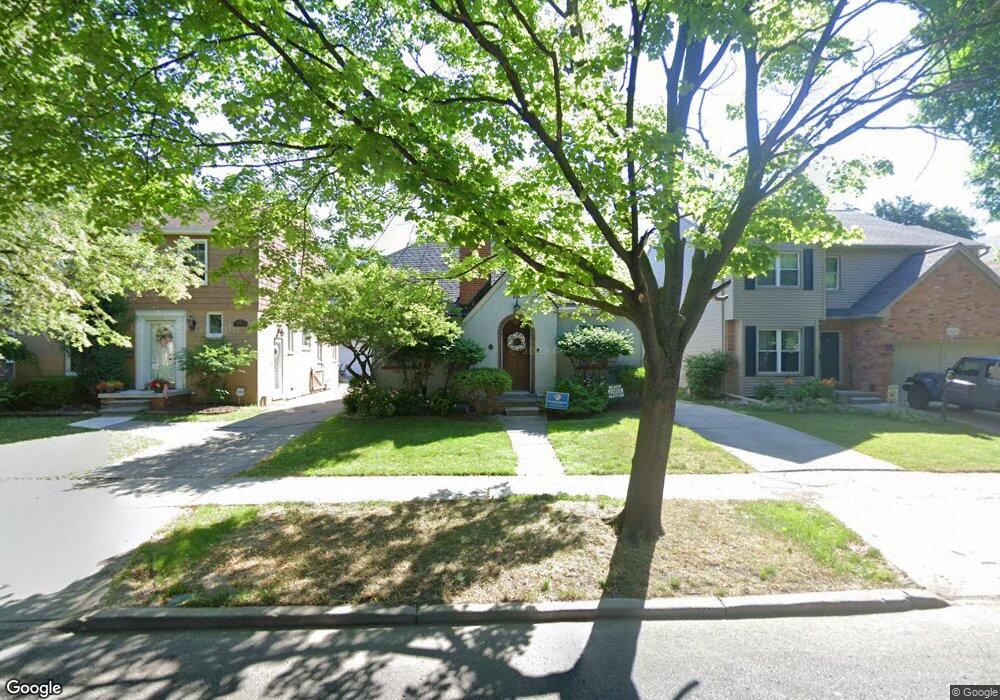
440 Moran Rd Grosse Pointe Farms, MI 48236
Estimated Value: $307,000 - $593,000
--
Bed
1
Bath
962
Sq Ft
$409/Sq Ft
Est. Value
About This Home
This home is located at 440 Moran Rd, Grosse Pointe Farms, MI 48236 and is currently estimated at $393,389, approximately $408 per square foot. 440 Moran Rd is a home located in Wayne County with nearby schools including Kerby Elementary School, Brownell Middle School, and Grosse Pointe South High School.
Ownership History
Date
Name
Owned For
Owner Type
Purchase Details
Closed on
Sep 3, 2004
Sold by
Joseph Ann Marie
Bought by
Whotte Richard E
Current Estimated Value
Purchase Details
Closed on
Apr 25, 2001
Sold by
Barg Kelli
Bought by
Joseph Ann M
Purchase Details
Closed on
Jul 28, 1997
Sold by
Scupholm Thomas G
Bought by
Kelli Brag and Kelli Gary Bresnehan
Create a Home Valuation Report for This Property
The Home Valuation Report is an in-depth analysis detailing your home's value as well as a comparison with similar homes in the area
Home Values in the Area
Average Home Value in this Area
Purchase History
| Date | Buyer | Sale Price | Title Company |
|---|---|---|---|
| Whotte Richard E | $200,000 | Multiple | |
| Joseph Ann M | $195,000 | -- | |
| Kelli Brag | $148,000 | -- |
Source: Public Records
Tax History Compared to Growth
Tax History
| Year | Tax Paid | Tax Assessment Tax Assessment Total Assessment is a certain percentage of the fair market value that is determined by local assessors to be the total taxable value of land and additions on the property. | Land | Improvement |
|---|---|---|---|---|
| 2025 | $2,458 | $146,900 | $0 | $0 |
| 2024 | $2,458 | $137,900 | $0 | $0 |
| 2023 | $2,342 | $127,600 | $0 | $0 |
| 2022 | $5,540 | $117,000 | $0 | $0 |
| 2021 | $4,691 | $98,500 | $0 | $0 |
| 2019 | $4,417 | $85,500 | $0 | $0 |
| 2018 | $1,814 | $81,100 | $0 | $0 |
| 2017 | $4,707 | $79,000 | $0 | $0 |
| 2016 | $4,049 | $77,600 | $0 | $0 |
| 2015 | $6,534 | $72,100 | $0 | $0 |
| 2013 | $6,330 | $63,300 | $0 | $0 |
| 2012 | $1,684 | $63,300 | $21,600 | $41,700 |
Source: Public Records
Map
Nearby Homes
- 415 Lothrop Rd
- 975 Fisher Rd
- 441 Manor St
- 380 Merriweather Rd
- 343 Mount Vernon Ave
- 471 Touraine Rd
- 18119 Cornwall St
- 317 Mount Vernon Ave
- 314 Mount Vernon Ave
- 352 Mckinley Ave
- 4598 Lodewyck St
- 341 Mcmillan Rd
- 302 Mount Vernon Ave
- 827 Fisher Rd
- 432 Calvin Ave
- 876 Washington Rd
- 351 Moselle Place
- 265 Williams Ave
- 5047 Anatole St
- 4522 Hereford St