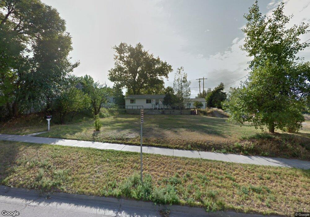
440 N 4th St Unit Clay Street Douglas, WY 82633
Estimated Value: $233,000 - $285,000
3
Beds
1
Bath
1,294
Sq Ft
$199/Sq Ft
Est. Value
About This Home
This home is located at 440 N 4th St Unit Clay Street, Douglas, WY 82633 and is currently estimated at $257,482, approximately $198 per square foot. 440 N 4th St Unit Clay Street is a home located in Converse County with nearby schools including Douglas High School.
Ownership History
Date
Name
Owned For
Owner Type
Purchase Details
Closed on
Aug 30, 2024
Sold by
Mcvay Deborah
Bought by
Smith Eric and Smith Traci
Current Estimated Value
Home Financials for this Owner
Home Financials are based on the most recent Mortgage that was taken out on this home.
Original Mortgage
$132,000
Outstanding Balance
$130,477
Interest Rate
6.77%
Mortgage Type
New Conventional
Estimated Equity
$127,005
Purchase Details
Closed on
May 23, 2022
Sold by
Phillips Sean L and Phillips Kendall J
Bought by
Mcvay Deborah
Create a Home Valuation Report for This Property
The Home Valuation Report is an in-depth analysis detailing your home's value as well as a comparison with similar homes in the area
Home Values in the Area
Average Home Value in this Area
Purchase History
| Date | Buyer | Sale Price | Title Company |
|---|---|---|---|
| Smith Eric | -- | First American Title | |
| Smith Eric | -- | First American Title | |
| Mcvay Deborah | -- | None Listed On Document |
Source: Public Records
Mortgage History
| Date | Status | Borrower | Loan Amount |
|---|---|---|---|
| Open | Smith Eric | $132,000 | |
| Closed | Smith Eric | $132,000 |
Source: Public Records
Tax History Compared to Growth
Tax History
| Year | Tax Paid | Tax Assessment Tax Assessment Total Assessment is a certain percentage of the fair market value that is determined by local assessors to be the total taxable value of land and additions on the property. | Land | Improvement |
|---|---|---|---|---|
| 2025 | $986 | $14,747 | $4,190 | $10,557 |
| 2024 | $986 | $14,869 | $5,586 | $9,283 |
| 2023 | $1,014 | $15,188 | $5,586 | $9,602 |
| 2022 | $1,118 | $16,628 | $5,320 | $11,308 |
| 2021 | $1,063 | $15,629 | $5,320 | $10,309 |
| 2020 | $1,034 | $15,497 | $5,320 | $10,177 |
| 2019 | $987 | $14,736 | $5,320 | $9,416 |
| 2018 | $989 | $15,024 | $5,320 | $9,704 |
| 2017 | $1,077 | $16,337 | $5,320 | $11,017 |
| 2015 | $1,093 | $16,624 | $5,267 | $11,357 |
| 2014 | $1,035 | $15,695 | $5,480 | $10,215 |
Source: Public Records
Map
Nearby Homes
- 334 N 3rd St
- 232 N 5th St
- 620 N 6th St
- 225 N 8th St
- 210 N 9th St
- 219 S 3rd St
- 925 Skyline Dr
- 327 S 6th St
- 928 Meadowlark Dr
- 870 & 876 Shoshone Dr
- 981 Meadowlark Dr
- 982 Meadowlark Dr
- 1102 N Riverbend Dr
- 214 La Prele Dr
- 127 Angus Loop
- 627 S 4th St
- 475 Pearson Dr
- 1092 Riverbend Dr
- 716 S 5th St
- 903 Leal St