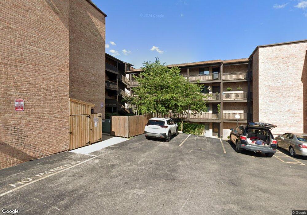
440 N Main St Unit E306A Wauconda, IL 60084
Estimated Value: $172,000 - $202,000
Studio
2
Baths
1,102
Sq Ft
$171/Sq Ft
Est. Value
About This Home
This home is located at 440 N Main St Unit E306A, Wauconda, IL 60084 and is currently estimated at $188,211, approximately $170 per square foot. 440 N Main St Unit E306A is a home located in Lake County with nearby schools including Wauconda Grade School, Wauconda Middle School, and Wauconda High School.
Ownership History
Date
Name
Owned For
Owner Type
Purchase Details
Closed on
Jul 11, 2012
Sold by
Stephani Rhonda R and The Rhonda R Stephani Trust
Bought by
Sowa Donna R
Current Estimated Value
Purchase Details
Closed on
Oct 25, 2007
Sold by
Stephani Rhonda and Baker Briana
Bought by
Stephani Rhonda R and Rhonda R Stephani Trust
Purchase Details
Closed on
Nov 7, 2000
Sold by
Rottluff John C and Rottluff Deanna L
Bought by
Stephan Rhonda and Baker Briana
Create a Home Valuation Report for This Property
The Home Valuation Report is an in-depth analysis detailing your home's value as well as a comparison with similar homes in the area
Home Values in the Area
Average Home Value in this Area
Purchase History
| Date | Buyer | Sale Price | Title Company |
|---|---|---|---|
| Sowa Donna R | $71,500 | None Available | |
| Stephani Rhonda R | -- | None Available | |
| Stephan Rhonda | $113,000 | -- |
Source: Public Records
Tax History
| Year | Tax Paid | Tax Assessment Tax Assessment Total Assessment is a certain percentage of the fair market value that is determined by local assessors to be the total taxable value of land and additions on the property. | Land | Improvement |
|---|---|---|---|---|
| 2024 | $3,831 | $51,404 | $5,140 | $46,264 |
| 2023 | $4,259 | $46,987 | $4,698 | $42,289 |
| 2022 | $4,259 | $45,029 | $5,862 | $39,167 |
| 2021 | $4,191 | $43,865 | $5,539 | $38,326 |
| 2020 | $4,040 | $41,808 | $5,279 | $36,529 |
| 2019 | $3,575 | $39,512 | $4,989 | $34,523 |
| 2018 | $2,640 | $28,989 | $3,808 | $25,181 |
| 2017 | $2,635 | $28,654 | $3,764 | $24,890 |
| 2016 | $2,449 | $27,134 | $3,564 | $23,570 |
| 2015 | $2,261 | $24,910 | $3,272 | $21,638 |
| 2014 | $2,629 | $23,573 | $3,438 | $20,135 |
| 2012 | $2,151 | $22,520 | $3,308 | $19,212 |
Source: Public Records
Map
Nearby Homes
- 450 N Main St Unit S208A
- 214 Minerva Ave
- 124 Hubbard Ct
- 25817 W Cook St
- 155 E Mill St Unit 8
- 159 Parkview Dr Unit 159
- 225 Regency Ct Unit A
- 28331 W Main St
- 255 Regency Ct Unit D
- 255 Regency Ct Unit C
- 245 Regency Ct Unit B
- 245 Regency Ct Unit E
- 285 Regency Court Unit B Ct
- 227 Kimball Ave
- 610 Larkdale Row
- 501 E Liberty St
- 360 Promontory Ln Unit B
- 360 Promontory Ln Unit D
- 25586 W High St
- 25578 W High St
- 440 N Main St Unit E105
- 440 N Main St Unit E304
- 440 N Main St Unit E407A
- 440 N Main St Unit E307A
- 440 N Main St Unit E207A
- 440 N Main St Unit E107A
- 440 N Main St Unit E406A
- 440 N Main St Unit E206A
- 440 N Main St Unit E106A
- 440 N Main St Unit E405A
- 440 N Main St Unit 305
- 440 N Main St Unit 404
- 440 N Main St Unit E205
- 440 N Main St Unit 204
- 440 N Main St Unit E403A
- 440 N Main St Unit E303A
- 440 N Main St Unit E203A
- 440 N Main St Unit E402A
- 440 N Main St Unit E302A
- 440 N Main St Unit E202A
Your Personal Tour Guide
Ask me questions while you tour the home.