440 N Shore Rd New Limerick, ME 04761
Estimated Value: $104,000
4
Beds
3
Baths
1,400
Sq Ft
$74/Sq Ft
Est. Value
About This Home
This home is located at 440 N Shore Rd, New Limerick, ME 04761 and is currently estimated at $104,000, approximately $74 per square foot. 440 N Shore Rd is a home located in Aroostook County with nearby schools including Mill Pond School and Hodgdon Middle/High School.
Ownership History
Date
Name
Owned For
Owner Type
Purchase Details
Closed on
Nov 8, 2019
Sold by
Koutsikos Jimmy P and Koutsikos Angie
Bought by
Martin Taylor I and Martin Meghan V
Current Estimated Value
Home Financials for this Owner
Home Financials are based on the most recent Mortgage that was taken out on this home.
Original Mortgage
$128,000
Outstanding Balance
$112,719
Interest Rate
3.65%
Mortgage Type
New Conventional
Estimated Equity
-$8,719
Purchase Details
Closed on
Sep 30, 2010
Sold by
Day Becky D
Bought by
Koutsikos Jimmy P
Purchase Details
Closed on
Mar 28, 2005
Sold by
Perkins Terry L and Perkins Joyce E
Bought by
Day Becky D
Home Financials for this Owner
Home Financials are based on the most recent Mortgage that was taken out on this home.
Original Mortgage
$170,000
Interest Rate
5.56%
Mortgage Type
Purchase Money Mortgage
Create a Home Valuation Report for This Property
The Home Valuation Report is an in-depth analysis detailing your home's value as well as a comparison with similar homes in the area
Home Values in the Area
Average Home Value in this Area
Purchase History
| Date | Buyer | Sale Price | Title Company |
|---|---|---|---|
| Martin Taylor I | -- | -- | |
| Martin Taylor I | -- | -- | |
| Koutsikos Jimmy P | -- | -- | |
| Koutsikos Jimmy P | -- | -- | |
| Day Becky D | -- | -- | |
| Day Becky D | -- | -- |
Source: Public Records
Mortgage History
| Date | Status | Borrower | Loan Amount |
|---|---|---|---|
| Open | Martin Taylor I | $128,000 | |
| Closed | Martin Taylor I | $128,000 | |
| Previous Owner | Day Becky D | $170,000 |
Source: Public Records
Tax History Compared to Growth
Tax History
| Year | Tax Paid | Tax Assessment Tax Assessment Total Assessment is a certain percentage of the fair market value that is determined by local assessors to be the total taxable value of land and additions on the property. | Land | Improvement |
|---|---|---|---|---|
| 2022 | $375 | $50,000 | $50,000 | $0 |
| 2021 | $1,371 | $137,100 | $41,700 | $95,400 |
| 2020 | $1,371 | $137,100 | $41,700 | $95,400 |
| 2019 | $1,337 | $133,700 | $41,700 | $92,000 |
| 2018 | $1,203 | $133,700 | $41,700 | $92,000 |
| 2017 | $1,237 | $133,700 | $41,700 | $92,000 |
| 2016 | $1,136 | $133,700 | $41,700 | $92,000 |
| 2014 | $1,046 | $130,760 | $41,660 | $89,100 |
| 2013 | $965 | $128,700 | $41,700 | $87,000 |
Source: Public Records
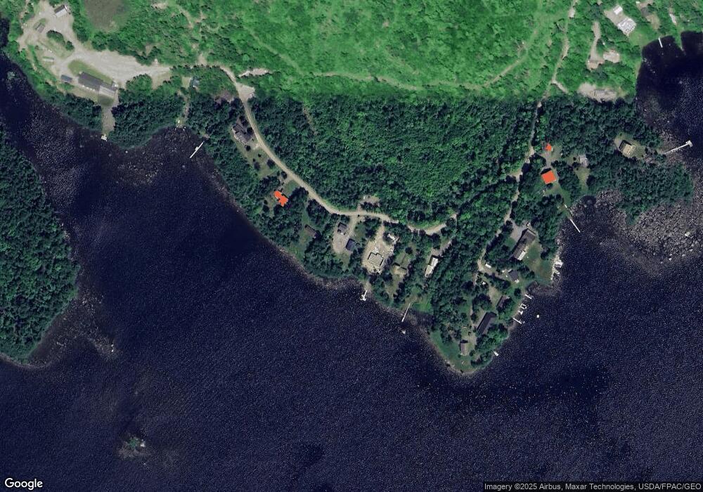
Map
Nearby Homes
- 217 S Shore Rd
- 101 S South Shore Rd
- 105 S Shore Rd
- Lot 12 Winter Rd
- 838 Drews Mill Rd
- 0 County Rd Unit U 24034245
- 9 Tapley Rd
- Lot 3 Morrison Brook Acres
- 10 Drake Ln
- 8 Drake Ln
- Lot 6 Morrison Brook Acres
- 7 Brown Rd
- 1991 Ludlow Rd
- Lot U County Rd
- Lot 6
- 212 Timoney Lake Rd
- 524 Ridge Rd
- 53 Calvin Ln
- 524 A Ridge Rd
- Lot 3
- 454 N Shore Rd
- 444 N Shore Rd
- 20 White Tail Deer Ln
- 470 N Shore Rd
- 428 N Shore Rd
- 8 Whitetail Deer Ln
- 416 N Shore Rd
- 480 N Shore Rd
- 366 N Shore Rd
- 24,25,26 Wood Duck Ln
- 4 Wood Duck Ln
- 3 Wood Duck Ln
- 16 Whipoorwill Ln
- 39 Salmon Ln
- 52 Salmon Ln SE
- 47 Salmon Ln
- 10 Whipoorwill Ln
- 52 Salmon Ln
- 46 Salmon Ln
- 75 Salmon Ln