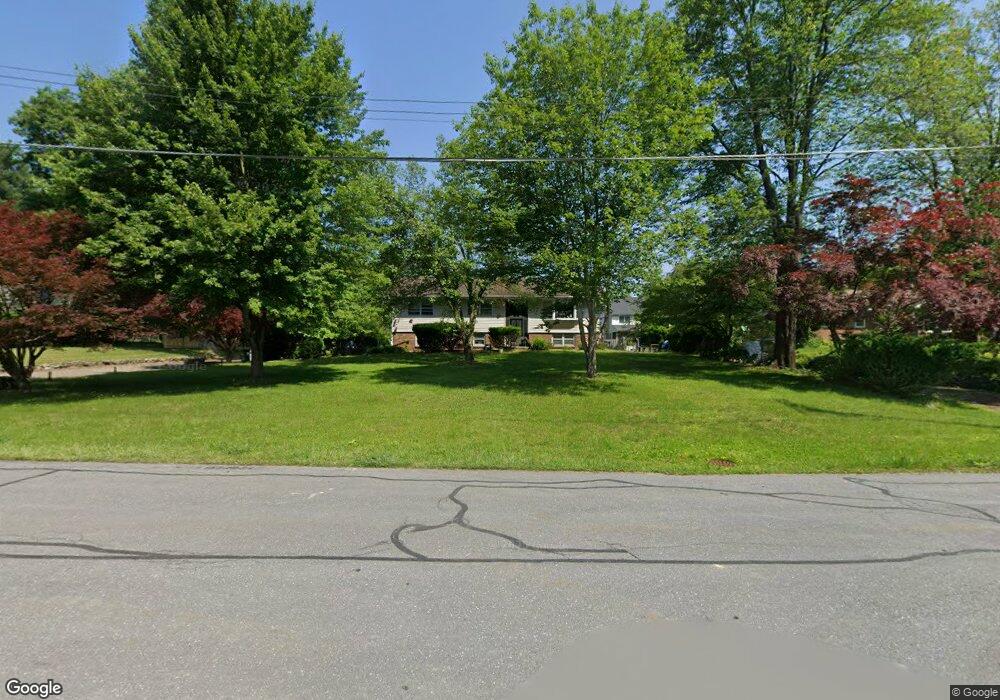
440 Quentin Rd Stroudsburg, PA 18360
Estimated Value: $331,000 - $376,000
3
Beds
2
Baths
1,782
Sq Ft
$197/Sq Ft
Est. Value
About This Home
This home is located at 440 Quentin Rd, Stroudsburg, PA 18360 and is currently estimated at $350,216, approximately $196 per square foot. 440 Quentin Rd is a home located in Monroe County with nearby schools including Stroudsburg Junior High School, Stroudsburg High School, and Summit School Of The Poconos.
Ownership History
Date
Name
Owned For
Owner Type
Purchase Details
Closed on
Jul 24, 2020
Sold by
Cole Phillips R and Cole Linda H
Bought by
Corzo Gabriella A
Current Estimated Value
Home Financials for this Owner
Home Financials are based on the most recent Mortgage that was taken out on this home.
Original Mortgage
$160,000
Outstanding Balance
$142,141
Interest Rate
3.2%
Mortgage Type
New Conventional
Estimated Equity
$208,075
Purchase Details
Closed on
Sep 8, 2003
Bought by
Cole Phillips R and Cole Linda H
Create a Home Valuation Report for This Property
The Home Valuation Report is an in-depth analysis detailing your home's value as well as a comparison with similar homes in the area
Home Values in the Area
Average Home Value in this Area
Purchase History
| Date | Buyer | Sale Price | Title Company |
|---|---|---|---|
| Corzo Gabriella A | $210,000 | Pocono Area Abstract | |
| Cole Phillips R | $175,000 | -- |
Source: Public Records
Mortgage History
| Date | Status | Borrower | Loan Amount |
|---|---|---|---|
| Open | Corzo Gabriella A | $160,000 |
Source: Public Records
Tax History Compared to Growth
Tax History
| Year | Tax Paid | Tax Assessment Tax Assessment Total Assessment is a certain percentage of the fair market value that is determined by local assessors to be the total taxable value of land and additions on the property. | Land | Improvement |
|---|---|---|---|---|
| 2025 | $1,266 | $153,600 | $22,320 | $131,280 |
| 2024 | $1,036 | $153,600 | $22,320 | $131,280 |
| 2023 | $5,127 | $153,600 | $22,320 | $131,280 |
| 2022 | $5,235 | $153,600 | $22,320 | $131,280 |
| 2021 | $5,074 | $153,600 | $22,320 | $131,280 |
| 2020 | $4,624 | $153,600 | $22,320 | $131,280 |
| 2019 | $4,527 | $24,010 | $5,600 | $18,410 |
| 2018 | $4,830 | $24,010 | $5,600 | $18,410 |
| 2017 | $4,830 | $24,010 | $5,600 | $18,410 |
| 2016 | $909 | $24,010 | $5,600 | $18,410 |
| 2015 | -- | $24,010 | $5,600 | $18,410 |
| 2014 | -- | $24,010 | $5,600 | $18,410 |
Source: Public Records
Map
Nearby Homes
- 720 Stokes Mill Rd
- 1191 Appenzeller Ave
- 1184 Appenzeller Ave
- 772 Mohawk Trail
- 137 Berwick Heights Rd
- 0 Seneca Way
- 3 Oakland Ave
- 1 Oakland Ave
- 144 W Broad St
- 179 King St
- 198 Grove St
- 202 N Courtland St Unit 1 & 2
- 202 N Courtland St
- 197 Meyers St
- 00 Phillips St
- 73 E Broad St
- 110 Kraemer Ave
- 182 State St
- 138 Sopher St
- 2215 Sutton Dr
- 1640 Quentin Rd
- 435 Quentin Rd
- 1650 Quentin Rd
- 450 Quentin Rd
- 430 Quentin Rd
- 445 Fremont Ave
- 1651 Quentin Rd
- 108 N Lane Rd
- 479 Fremont Ave
- 1722 Quentin Rd
- 435 Fremont Ave
- 459 Quentin Rd
- 1734 Quentin Rd
- 1734 Quentin Rd
- 427 Quentin Rd
- 425 Fremont Ave
- 104 N Lane Rd
- 948 Stokes Mill Rd
- 448 Stokes Mill Rd
- 436 Stokes Mill Rd