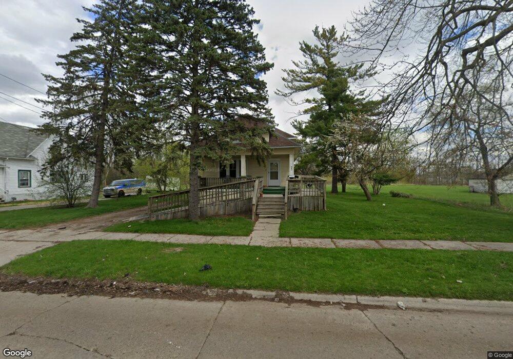
440 S 17th St Saginaw, MI 48601
Houghton Jones NeighborhoodEstimated Value: $48,000 - $60,261
--
Bed
--
Bath
1,252
Sq Ft
$43/Sq Ft
Est. Value
About This Home
This home is located at 440 S 17th St, Saginaw, MI 48601 and is currently estimated at $53,815, approximately $42 per square foot. 440 S 17th St is a home located in Saginaw County with nearby schools including Thompson Middle School, Saginaw United High School, and Saginaw Learn To Earn Academy.
Ownership History
Date
Name
Owned For
Owner Type
Purchase Details
Closed on
Dec 21, 2023
Sold by
Simpson Taurus A
Bought by
Harris Lashun
Current Estimated Value
Purchase Details
Closed on
Apr 15, 2015
Sold by
Norman Diane
Bought by
Simpson Taurus A
Purchase Details
Closed on
Jan 14, 2015
Sold by
Norman Gerald and Norman Gerald
Bought by
Norman Diane
Purchase Details
Closed on
Apr 15, 2005
Sold by
Anderson Patricia K
Bought by
Norman Gerald
Purchase Details
Closed on
Sep 12, 1986
Sold by
Liss Rose N
Bought by
Anderson Patricia K
Purchase Details
Closed on
Sep 1, 1986
Sold by
Liss Rose
Bought by
Anderson Patricia K
Create a Home Valuation Report for This Property
The Home Valuation Report is an in-depth analysis detailing your home's value as well as a comparison with similar homes in the area
Home Values in the Area
Average Home Value in this Area
Purchase History
| Date | Buyer | Sale Price | Title Company |
|---|---|---|---|
| Harris Lashun | -- | None Listed On Document | |
| Simpson Taurus A | $4,000 | -- | |
| Norman Diane | -- | -- | |
| Norman Gerald | $12,500 | -- | |
| Anderson Patricia K | $16,500 | -- | |
| Anderson Patricia K | $16,500 | -- |
Source: Public Records
Tax History Compared to Growth
Tax History
| Year | Tax Paid | Tax Assessment Tax Assessment Total Assessment is a certain percentage of the fair market value that is determined by local assessors to be the total taxable value of land and additions on the property. | Land | Improvement |
|---|---|---|---|---|
| 2025 | $1,442 | $18,300 | $0 | $0 |
| 2024 | $1,215 | $16,600 | $0 | $0 |
| 2023 | $941 | $15,700 | $0 | $0 |
| 2022 | $1,297 | $13,200 | $0 | $0 |
| 2021 | $744 | $11,800 | $0 | $0 |
| 2020 | $1,133 | $10,600 | $0 | $0 |
| 2019 | $1,113 | $9,800 | $2,300 | $7,500 |
| 2018 | $1,016 | $10,446 | $0 | $0 |
| 2017 | $1,110 | $10,500 | $0 | $0 |
| 2016 | $1,245 | $10,264 | $0 | $0 |
| 2014 | -- | $9,219 | $0 | $7,962 |
| 2013 | -- | $9,223 | $0 | $0 |
Source: Public Records
Map
Nearby Homes
- 3361 Burt St
- 524 S 14th St
- 2420 Bancroft St
- 1919 Perkins St
- 441 S 11th St
- 213 S 12th St
- 436 S 27th St
- 644 S 26th St
- 346 S 7th St
- 440 S 28th St
- 2143 Whittier St
- 523 S 29th St
- 1610 E Genesee Ave
- 1103,1107,1111,1115 S Park Ave
- 915 Burt St
- 631 Cathay St
- 1410 S 17th St
- 924 Federal Ave
- 550 S Weadock Ave
- 514 N 8th St
- 430 S 17th St
- 426 S 17th St
- 437 S 17th St
- 454 S 17th St
- 443 S 17th St
- 433 S 17th St
- 449 S 17th St
- 425 S 17th St
- 457 S 17th St
- 415 S 17th St
- 410 S 17th St
- 505 S 17th St
- 2207 Burt St
- 406 S 17th St
- 2220 Burt St
- 2220 Burt St Unit javascript:void(0);
- 402 S 17th St
- 2216 Burt St
- 2224 Cherry St
- 2203 Burt St