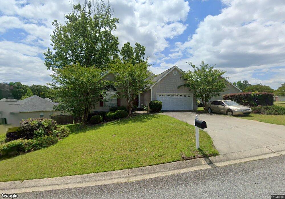
440 Simsbury Ridge Macon, GA 31220
Estimated Value: $218,182 - $229,000
3
Beds
2
Baths
1,479
Sq Ft
$151/Sq Ft
Est. Value
About This Home
This home is located at 440 Simsbury Ridge, Macon, GA 31220 and is currently estimated at $223,296, approximately $150 per square foot. 440 Simsbury Ridge is a home located in Bibb County with nearby schools including Union Elementary School, Weaver Middle School, and Westside High School.
Ownership History
Date
Name
Owned For
Owner Type
Purchase Details
Closed on
Jun 23, 2005
Sold by
Soles Joshua K and Soles Candice
Bought by
Farley Beverly
Current Estimated Value
Home Financials for this Owner
Home Financials are based on the most recent Mortgage that was taken out on this home.
Original Mortgage
$100,800
Outstanding Balance
$59,955
Interest Rate
8%
Mortgage Type
Adjustable Rate Mortgage/ARM
Estimated Equity
$163,341
Purchase Details
Closed on
May 1, 2003
Purchase Details
Closed on
Apr 4, 2001
Purchase Details
Closed on
Aug 23, 2000
Create a Home Valuation Report for This Property
The Home Valuation Report is an in-depth analysis detailing your home's value as well as a comparison with similar homes in the area
Home Values in the Area
Average Home Value in this Area
Purchase History
| Date | Buyer | Sale Price | Title Company |
|---|---|---|---|
| Farley Beverly | $126,000 | None Avilebel | |
| -- | $116,700 | -- | |
| -- | $112,000 | -- | |
| -- | $16,500 | -- |
Source: Public Records
Mortgage History
| Date | Status | Borrower | Loan Amount |
|---|---|---|---|
| Open | Farley Beverly | $100,800 |
Source: Public Records
Tax History Compared to Growth
Tax History
| Year | Tax Paid | Tax Assessment Tax Assessment Total Assessment is a certain percentage of the fair market value that is determined by local assessors to be the total taxable value of land and additions on the property. | Land | Improvement |
|---|---|---|---|---|
| 2024 | $1,647 | $71,844 | $13,000 | $58,844 |
| 2023 | $1,921 | $71,844 | $13,000 | $58,844 |
| 2022 | $1,954 | $63,439 | $9,200 | $54,239 |
| 2021 | $1,756 | $53,199 | $8,000 | $45,199 |
| 2020 | $1,794 | $53,199 | $8,000 | $45,199 |
| 2019 | $1,808 | $53,199 | $8,000 | $45,199 |
| 2018 | $2,950 | $53,199 | $8,000 | $45,199 |
| 2017 | $1,731 | $53,199 | $8,000 | $45,199 |
| 2016 | $1,598 | $53,199 | $8,000 | $45,199 |
| 2015 | $2,263 | $53,199 | $8,000 | $45,199 |
| 2014 | $2,245 | $52,762 | $8,000 | $44,762 |
Source: Public Records
Map
Nearby Homes
- 426 Simsbury Ridge
- 450 Simsbury Ridge
- 420 Simsbury Ridge
- 460 Simsbury Ridge
- 437 Simsbury Ridge
- 449 Simsbury Ridge
- 445 Simsbury Ridge
- 416 Simsbury Ridge
- 441 Simsbury Ridge
- 429 Simsbury Ridge
- 470 Simsbury Ridge
- 433 Simsbury Ridge
- 457 Simsbury Ridge
- 425 Simsbury Ridge
- 149 Simsbury Ln
- 0 Simsbury Ridge Unit 8626906
- 0 Simsbury Ridge Unit 8681966
- 0 Simsbury Ridge Unit 7543925
- 0 Simsbury Ridge Unit 3143882
- 0 Simsbury Ridge