Estimated Value: $417,000 - $474,576
4
Beds
2
Baths
2,498
Sq Ft
$176/Sq Ft
Est. Value
About This Home
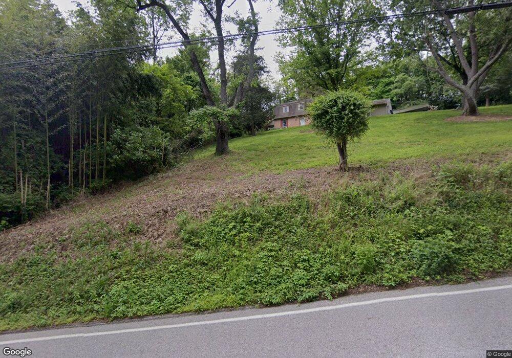
This home is located at 440 Sparton Rd, York, PA 17403 and is currently estimated at $440,144, approximately $176 per square foot. 440 Sparton Rd is a home located in York County with nearby schools including York Township Elementary School, Dallastown Area Middle School, and Dallastown Area High School.
Ownership History
Date
Name
Owned For
Owner Type
Purchase Details
Closed on
May 6, 2010
Sold by
Fauth Alan L and Fauth Cynthia C
Bought by
Fauth Alan
Current Estimated Value
Home Financials for this Owner
Home Financials are based on the most recent Mortgage that was taken out on this home.
Original Mortgage
$26,250
Outstanding Balance
$17,713
Interest Rate
5.11%
Mortgage Type
Credit Line Revolving
Estimated Equity
$422,431
Purchase Details
Closed on
Nov 1, 1981
Bought by
Fauth Alan L and Fauth Cynthia C
Create a Home Valuation Report for This Property
The Home Valuation Report is an in-depth analysis detailing your home's value as well as a comparison with similar homes in the area
Home Values in the Area
Average Home Value in this Area
Purchase History
| Date | Buyer | Sale Price | Title Company |
|---|---|---|---|
| Fauth Alan | -- | None Available | |
| Fauth Alan L | $70,000 | -- |
Source: Public Records
Mortgage History
| Date | Status | Borrower | Loan Amount |
|---|---|---|---|
| Open | Fauth Alan | $26,250 | |
| Open | Fauth Alan | $198,750 |
Source: Public Records
Tax History Compared to Growth
Tax History
| Year | Tax Paid | Tax Assessment Tax Assessment Total Assessment is a certain percentage of the fair market value that is determined by local assessors to be the total taxable value of land and additions on the property. | Land | Improvement |
|---|---|---|---|---|
| 2025 | $7,216 | $210,220 | $63,230 | $146,990 |
| 2024 | $7,111 | $210,220 | $63,230 | $146,990 |
| 2023 | $7,111 | $210,220 | $63,230 | $146,990 |
| 2022 | $6,878 | $210,220 | $63,230 | $146,990 |
| 2021 | $6,553 | $210,220 | $63,230 | $146,990 |
| 2020 | $6,553 | $210,220 | $63,230 | $146,990 |
| 2019 | $6,532 | $210,220 | $63,230 | $146,990 |
| 2018 | $6,487 | $210,220 | $63,230 | $146,990 |
| 2017 | $6,229 | $210,220 | $63,230 | $146,990 |
| 2016 | $0 | $210,220 | $63,230 | $146,990 |
| 2015 | -- | $210,220 | $63,230 | $146,990 |
| 2014 | -- | $210,220 | $63,230 | $146,990 |
Source: Public Records
Map
Nearby Homes
- 2960 Starfire Dr
- 2933 Exeter Dr S
- 300 Holyoke Dr
- 680 Hampstead Ct
- 362 Allegheny Dr
- 379 Holyoke Dr
- 2723 S Queen St Unit 96
- 0 Gary Dr
- 519 Middleview Dr
- 245 Leaders Heights Rd
- 424 Dartha Dr
- 125 Verna Dr
- 435 Frederick Dr
- 189 Tuscarora Dr
- 136 Teila Dr
- 106 Teila Dr
- 59 E Crestlyn Dr
- 110 Oak Ridge Ln Unit 110
- 428 W Main St
- 355 W Main St
- 0 Sparton Rd Unit PAYK140970
- 0 Sparton Rd Unit PAYK100824
- 0 Sparton Rd
- Lot 6 Sparton Rd
- 420 Sparton Rd
- 2880 Ironstone Hill Rd
- 424 Sparton Rd
- 2910 Ironstone Hill Rd
- 375 Sparton Rd
- Lot 7 Spartan Rd
- Lot 6 Spartan Rd
- 2874 Ironstone Hill Rd
- 2889 Ironstone Hill Rd
- 2885 Ironstone Hill Rd
- 2870 Ironstone Hill Rd
- 2819 Deer Chase Ln
- 2865 Ironstone Hill Rd
- 2860 Ironstone Hill Rd
- 390 Sparton Rd
- 2825 Deer Chase Ln