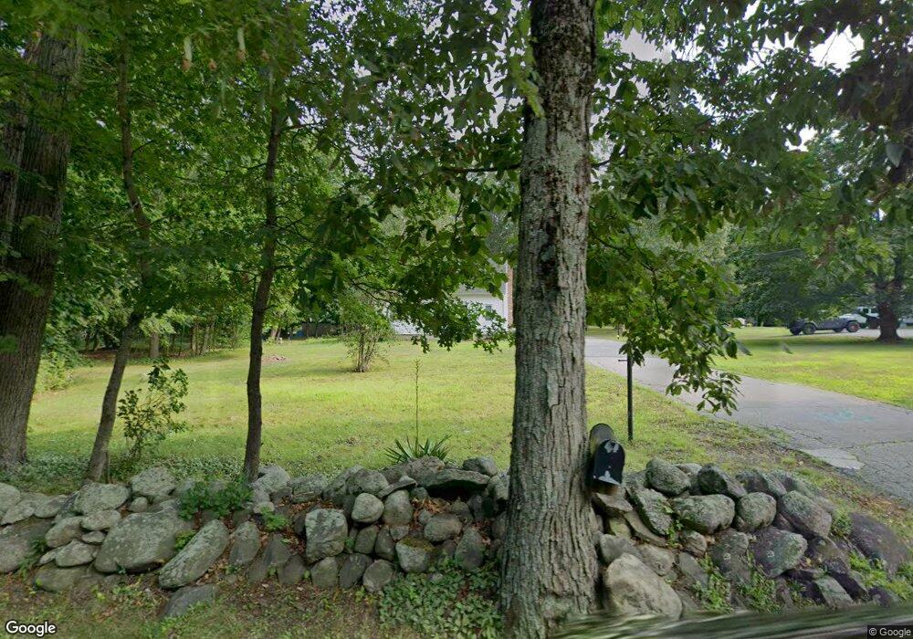
440 West St Mansfield, MA 02048
Estimated Value: $549,000 - $599,000
4
Beds
2
Baths
1,323
Sq Ft
$437/Sq Ft
Est. Value
About This Home
This home is located at 440 West St, Mansfield, MA 02048 and is currently estimated at $577,593, approximately $436 per square foot. 440 West St is a home located in Bristol County with nearby schools including Everett W. Robinson Elementary School, Jordan/Jackson Elementary School, and Harold L. Qualters Middle School.
Ownership History
Date
Name
Owned For
Owner Type
Purchase Details
Closed on
Aug 27, 2025
Sold by
Haddigan John F and Haddigan Jane B
Bought by
Angel West Irt and Haddigan
Current Estimated Value
Purchase Details
Closed on
Apr 29, 2013
Sold by
Parrillo Patricia A
Bought by
Haddigan Jane B and Haddigan John F
Purchase Details
Closed on
Mar 19, 1976
Bought by
Haddigan Jane B and Haddigan John F
Create a Home Valuation Report for This Property
The Home Valuation Report is an in-depth analysis detailing your home's value as well as a comparison with similar homes in the area
Home Values in the Area
Average Home Value in this Area
Purchase History
| Date | Buyer | Sale Price | Title Company |
|---|---|---|---|
| Angel West Irt | -- | -- | |
| Angel West Irt | -- | -- | |
| Haddigan Jane B | -- | -- | |
| Haddigan Jane B | -- | -- | |
| Haddigan Jane B | -- | -- |
Source: Public Records
Tax History Compared to Growth
Tax History
| Year | Tax Paid | Tax Assessment Tax Assessment Total Assessment is a certain percentage of the fair market value that is determined by local assessors to be the total taxable value of land and additions on the property. | Land | Improvement |
|---|---|---|---|---|
| 2025 | $6,009 | $456,300 | $217,700 | $238,600 |
| 2024 | $6,167 | $456,800 | $217,700 | $239,100 |
| 2023 | $6,108 | $433,500 | $217,700 | $215,800 |
| 2022 | $5,904 | $389,200 | $201,500 | $187,700 |
| 2021 | $2,626 | $368,100 | $186,600 | $181,500 |
| 2020 | $6,820 | $354,100 | $186,600 | $167,500 |
| 2019 | $4,937 | $324,400 | $155,400 | $169,000 |
| 2018 | $4,752 | $305,200 | $140,800 | $164,400 |
| 2017 | $4,290 | $285,600 | $136,800 | $148,800 |
| 2016 | $4,213 | $273,400 | $137,100 | $136,300 |
| 2015 | $4,084 | $263,500 | $130,300 | $133,200 |
Source: Public Records
Map
Nearby Homes
- 450 West St
- 132 S High St
- 115 S High St
- 16 Bradner St
- 150 Rumford Ave Unit 222
- 241-243 N Main St
- 356 Central St
- 22 Pleasant St Unit B
- 22 Pleasant St Unit A
- 28 Court St
- 28 Court St Unit 4
- 16 East St Unit 2
- 38 Court St
- 21 East St Unit 1D
- 72 Court St Unit B
- 76 Samoset Ave
- 12 Wilson Place
- 60 King St
- 28 Angell St
- 99 Pleasant St