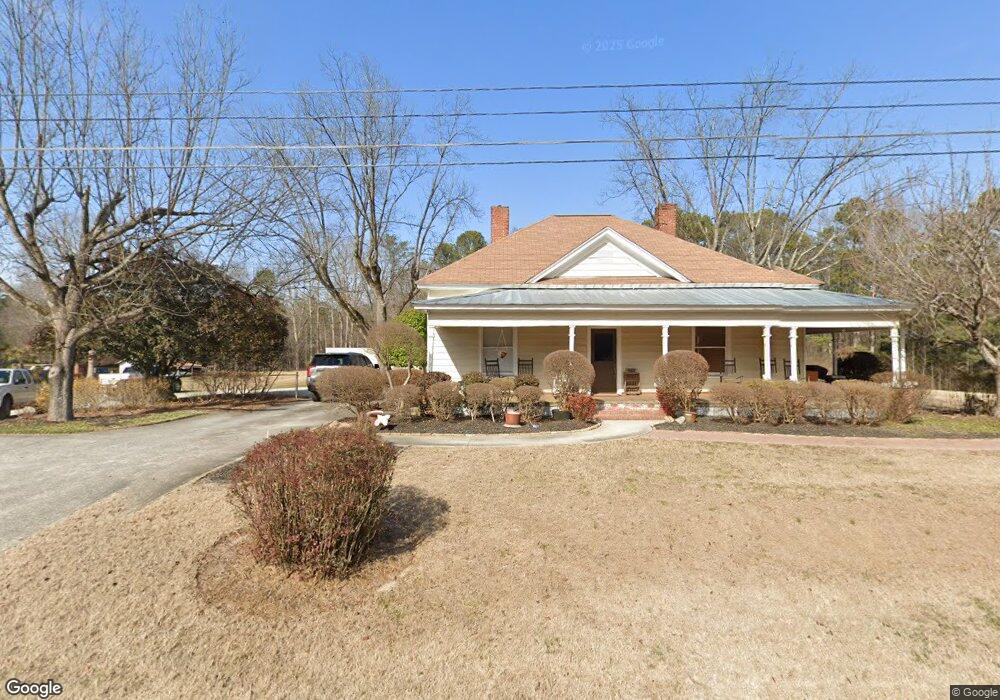
4400 MacLand Rd Powder Springs, GA 30127
West Cobb NeighborhoodEstimated Value: $361,000 - $583,886
3
Beds
1
Bath
2,178
Sq Ft
$208/Sq Ft
Est. Value
About This Home
This home is located at 4400 MacLand Rd, Powder Springs, GA 30127 and is currently estimated at $452,972, approximately $207 per square foot. 4400 MacLand Rd is a home located in Cobb County with nearby schools including Tapp Middle School, McEachern High School, and Grace Baptist Christian School.
Ownership History
Date
Name
Owned For
Owner Type
Purchase Details
Closed on
Sep 22, 2000
Sold by
Hardin Martha A
Bought by
Fernandez Raul and Fernandez Kim
Current Estimated Value
Home Financials for this Owner
Home Financials are based on the most recent Mortgage that was taken out on this home.
Original Mortgage
$162,000
Outstanding Balance
$58,290
Interest Rate
7.92%
Mortgage Type
New Conventional
Estimated Equity
$394,682
Create a Home Valuation Report for This Property
The Home Valuation Report is an in-depth analysis detailing your home's value as well as a comparison with similar homes in the area
Home Values in the Area
Average Home Value in this Area
Purchase History
| Date | Buyer | Sale Price | Title Company |
|---|---|---|---|
| Fernandez Raul | $180,000 | -- |
Source: Public Records
Mortgage History
| Date | Status | Borrower | Loan Amount |
|---|---|---|---|
| Open | Fernandez Raul | $162,000 |
Source: Public Records
Tax History Compared to Growth
Tax History
| Year | Tax Paid | Tax Assessment Tax Assessment Total Assessment is a certain percentage of the fair market value that is determined by local assessors to be the total taxable value of land and additions on the property. | Land | Improvement |
|---|---|---|---|---|
| 2024 | $6,228 | $206,580 | $145,824 | $60,756 |
| 2023 | $5,293 | $175,552 | $126,480 | $49,072 |
| 2022 | $4,240 | $139,708 | $98,208 | $41,500 |
| 2021 | $4,240 | $139,708 | $98,208 | $41,500 |
| 2020 | $3,292 | $108,460 | $66,960 | $41,500 |
| 2019 | $3,292 | $108,460 | $66,960 | $41,500 |
| 2018 | $2,606 | $85,856 | $56,544 | $29,312 |
| 2017 | $2,468 | $85,856 | $56,544 | $29,312 |
| 2016 | $1,912 | $66,512 | $37,200 | $29,312 |
| 2015 | $1,959 | $66,512 | $37,200 | $29,312 |
| 2014 | $1,909 | $64,240 | $0 | $0 |
Source: Public Records
Map
Nearby Homes
- 2159 Belmont Trace
- Yellowstone Plan at Linden Grove
- Winthrop Plan at Linden Grove
- Valen Plan at Linden Grove
- Tilden Plan at Linden Grove
- Liston Plan at Linden Grove
- Frazier Plan at Linden Grove
- 4458 Spring Mountain Ln
- 1960 Lost Mountain Rd
- 1830 Lost Mountain Rd
- 1888 Rainbow Ln
- 2015 Augustine Trace
- 4643 Melody Ct
- 2337 Old Lost Mountain Rd
- 1799 Harmony Rd
- 4545 Gaydon Rd
- 4696 Cooling Water Cir
- 1827 Lost Mountain Rd
- 4438 MacLand Rd
- 4440 MacLand Rd
- 4468 Worthings Ct
- 4467 Worthings Ct
- 4472 Worthings Ct
- 4450 MacLand Rd
- 4476 Worthings Ct
- 4471 Worthings Ct
- 0 Worthings Ct Unit 7163547
- 0 Worthings Ct Unit 8340053
- 0 Worthings Ct Unit 2825984
- 0 Worthings Ct Unit 7451734
- 0 Worthings Ct Unit 2826186
- 0 Worthings Ct Unit 2826192
- 0 Worthings Ct Unit 2825929
- 0 Worthings Ct Unit 7330890
- 0 Worthings Ct
- 4475 Worthings Ct
- 1944 Ruby Mtn St
- 1944 Ruby Mountain St Unit 24