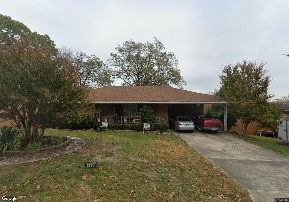
4400 N Locust St North Little Rock, AR 72116
Park Hill NeighborhoodEstimated Value: $192,810 - $225,000
--
Bed
2
Baths
1,715
Sq Ft
$122/Sq Ft
Est. Value
About This Home
This home is located at 4400 N Locust St, North Little Rock, AR 72116 and is currently estimated at $209,203, approximately $121 per square foot. 4400 N Locust St is a home located in Pulaski County with nearby schools including Ridgeroad Elementary School, North Little Rock Middle School 6th Grade Campus, and North Little Rock High School.
Ownership History
Date
Name
Owned For
Owner Type
Purchase Details
Closed on
Feb 26, 2007
Sold by
Pitts Jerry and Pitts Cherri
Bought by
Mcdonald Jimmy L and Mcdonald Carolyn
Current Estimated Value
Home Financials for this Owner
Home Financials are based on the most recent Mortgage that was taken out on this home.
Original Mortgage
$129,730
Outstanding Balance
$77,918
Interest Rate
6.21%
Mortgage Type
VA
Estimated Equity
$131,285
Purchase Details
Closed on
Aug 19, 2004
Sold by
Arrington Rita J and Kelley Jimmy N
Bought by
Pitts Jerry and Pitts Cherri
Home Financials for this Owner
Home Financials are based on the most recent Mortgage that was taken out on this home.
Original Mortgage
$107,250
Interest Rate
8.4%
Mortgage Type
Purchase Money Mortgage
Create a Home Valuation Report for This Property
The Home Valuation Report is an in-depth analysis detailing your home's value as well as a comparison with similar homes in the area
Home Values in the Area
Average Home Value in this Area
Purchase History
| Date | Buyer | Sale Price | Title Company |
|---|---|---|---|
| Mcdonald Jimmy L | $127,000 | Realty Title | |
| Pitts Jerry | $108,000 | Transcontinental Title Co |
Source: Public Records
Mortgage History
| Date | Status | Borrower | Loan Amount |
|---|---|---|---|
| Open | Mcdonald Jimmy L | $129,730 | |
| Previous Owner | Pitts Jerry | $107,250 |
Source: Public Records
Tax History Compared to Growth
Tax History
| Year | Tax Paid | Tax Assessment Tax Assessment Total Assessment is a certain percentage of the fair market value that is determined by local assessors to be the total taxable value of land and additions on the property. | Land | Improvement |
|---|---|---|---|---|
| 2025 | $1,641 | $36,915 | $5,600 | $31,315 |
| 2024 | $1,641 | $36,915 | $5,600 | $31,315 |
| 2023 | $1,641 | $36,915 | $5,600 | $31,315 |
| 2022 | $1,641 | $36,915 | $5,600 | $31,315 |
| 2021 | $1,641 | $24,570 | $5,700 | $18,870 |
| 2020 | $1,266 | $24,570 | $5,700 | $18,870 |
| 2019 | $1,266 | $24,570 | $5,700 | $18,870 |
| 2018 | $1,291 | $24,570 | $5,700 | $18,870 |
| 2017 | $1,291 | $24,570 | $5,700 | $18,870 |
| 2016 | $1,414 | $26,410 | $5,800 | $20,610 |
| 2015 | $1,764 | $26,410 | $5,800 | $20,610 |
| 2014 | $1,764 | $0 | $0 | $0 |
Source: Public Records
Map
Nearby Homes
- 110 Rim Rock Place
- 4405 N Cypress St
- 404 W M Ave
- 406 Highhill Rd
- 208 W K Ave
- 324 W L Ave
- 4704 N Cypress St
- 4709 N Cypress St
- 4410 Ridge Rd
- 4707 Ridge Rd
- 329 W I Ave
- 4106 Idlewild Ave
- 4508 Lakeview Rd
- 4900 N Cedar St
- 523 W K Ave
- 3901 N Cedar St
- 4524 Hazelwood Rd
- 4401 Westridge Dr
- 4508 Maple St
- 3810 Ridge Rd