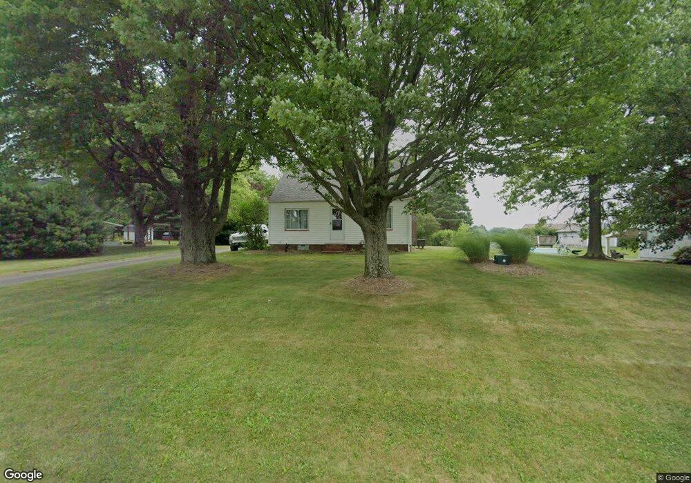
4400 Swallen Ave Louisville, OH 44641
Estimated Value: $162,000 - $253,491
5
Beds
2
Baths
2,220
Sq Ft
$93/Sq Ft
Est. Value
About This Home
This home is located at 4400 Swallen Ave, Louisville, OH 44641 and is currently estimated at $207,373, approximately $93 per square foot. 4400 Swallen Ave is a home located in Stark County with nearby schools including Louisville High School and St. Thomas Aquinas High School & Middle School.
Ownership History
Date
Name
Owned For
Owner Type
Purchase Details
Closed on
Oct 6, 2017
Sold by
Williams Patricia
Bought by
Kiko Derek J
Current Estimated Value
Home Financials for this Owner
Home Financials are based on the most recent Mortgage that was taken out on this home.
Original Mortgage
$83,460
Outstanding Balance
$69,787
Interest Rate
3.86%
Mortgage Type
FHA
Estimated Equity
$137,586
Purchase Details
Closed on
May 2, 2006
Sold by
Estate Of Richard Lee Conrad
Bought by
Conrad Mary A
Create a Home Valuation Report for This Property
The Home Valuation Report is an in-depth analysis detailing your home's value as well as a comparison with similar homes in the area
Home Values in the Area
Average Home Value in this Area
Purchase History
| Date | Buyer | Sale Price | Title Company |
|---|---|---|---|
| Kiko Derek J | $85,000 | None Available | |
| Conrad Mary A | -- | None Available |
Source: Public Records
Mortgage History
| Date | Status | Borrower | Loan Amount |
|---|---|---|---|
| Open | Kiko Derek J | $83,460 |
Source: Public Records
Tax History Compared to Growth
Tax History
| Year | Tax Paid | Tax Assessment Tax Assessment Total Assessment is a certain percentage of the fair market value that is determined by local assessors to be the total taxable value of land and additions on the property. | Land | Improvement |
|---|---|---|---|---|
| 2025 | -- | $69,380 | $14,950 | $54,430 |
| 2024 | -- | $69,380 | $14,950 | $54,430 |
| 2023 | $2,496 | $51,310 | $10,570 | $40,740 |
| 2022 | $2,502 | $51,310 | $10,570 | $40,740 |
| 2021 | $2,509 | $51,310 | $10,570 | $40,740 |
| 2020 | $2,171 | $46,900 | $9,520 | $37,380 |
| 2019 | $2,180 | $46,910 | $9,520 | $37,390 |
| 2018 | $2,173 | $46,910 | $9,520 | $37,390 |
| 2017 | $1,740 | $44,570 | $8,930 | $35,640 |
| 2016 | $1,324 | $36,590 | $8,930 | $27,660 |
| 2015 | $1,328 | $36,590 | $8,930 | $27,660 |
| 2014 | $1,195 | $31,930 | $7,770 | $24,160 |
| 2013 | $601 | $31,930 | $7,770 | $24,160 |
Source: Public Records
Map
Nearby Homes
- 2015 E Main St
- 2110 Edmar St
- 1812 E Broad St
- 1715 High St
- 5495 Meese Rd NE
- 3390 Meese Rd NE
- 5765 Maplegrove St
- 0 Michigan Blvd
- 641 S Nickelplate St
- 308 Superior St
- 520 S Silver St
- 6052 N Nickelplate St
- 728 E Broad St
- 1170 Winding Ridge Ave
- 910 Crosswyck Cir
- 908 Sand Lot Cir
- 325 Lincoln Ave
- 8225 Georgetown St
- 204 E Broad St
- 510 S Bauman Ct
- 4420 Swallen Ave
- 4440 Swallen Ave
- 4375 Swallen Ave
- 4375 Swallen Ave
- 4364 Swallen Ave
- 9580 Louisville St
- 9604 Louisville St
- 4344 Swallen Ave
- 9604 Louisville St NE
- 9636 Louisville St
- 9656 Louisville St
- 9668 Louisville St
- 9668 Louisville St NE
- 4320 Swallen Ave
- 9680 Louisville St
- 4310 Swallen Ave
- 4310 Swallen Ave
- 9706 Louisville St
- 9647 Louisville St
- 4315 Swallen Ave