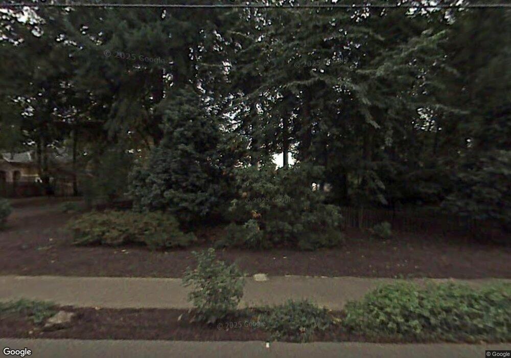
4400 Upper Dr Lake Oswego, OR 97035
Lake Grove NeighborhoodEstimated Value: $1,388,000 - $1,861,000
3
Beds
3
Baths
3,648
Sq Ft
$425/Sq Ft
Est. Value
About This Home
This home is located at 4400 Upper Dr, Lake Oswego, OR 97035 and is currently estimated at $1,551,407, approximately $425 per square foot. 4400 Upper Dr is a home located in Clackamas County with nearby schools including Lake Grove Elementary School, Lake Oswego Junior High School, and Lake Oswego Senior High School.
Ownership History
Date
Name
Owned For
Owner Type
Purchase Details
Closed on
Aug 23, 2005
Sold by
Harries David M
Bought by
Harries David M and Harries Julie A
Current Estimated Value
Purchase Details
Closed on
Apr 25, 2003
Sold by
Harries James R
Bought by
Harries David M
Purchase Details
Closed on
Dec 27, 2002
Sold by
Harries James R
Bought by
Harries William Henry
Purchase Details
Closed on
Oct 26, 1998
Sold by
Harris William R
Bought by
Harris Properties Llc
Create a Home Valuation Report for This Property
The Home Valuation Report is an in-depth analysis detailing your home's value as well as a comparison with similar homes in the area
Home Values in the Area
Average Home Value in this Area
Purchase History
| Date | Buyer | Sale Price | Title Company |
|---|---|---|---|
| Harries David M | -- | -- | |
| Harries David M | -- | -- | |
| Harries William Henry | -- | -- | |
| Harris Properties Llc | -- | First American Title Ins Co | |
| Harris Properties Llc | -- | First American Title Ins Co |
Source: Public Records
Tax History Compared to Growth
Tax History
| Year | Tax Paid | Tax Assessment Tax Assessment Total Assessment is a certain percentage of the fair market value that is determined by local assessors to be the total taxable value of land and additions on the property. | Land | Improvement |
|---|---|---|---|---|
| 2025 | $9,434 | $491,248 | -- | -- |
| 2024 | $9,182 | $476,940 | -- | -- |
| 2023 | $9,182 | $463,049 | $0 | $0 |
| 2022 | $8,648 | $449,563 | $0 | $0 |
| 2021 | $7,988 | $436,469 | $0 | $0 |
| 2020 | $7,787 | $423,757 | $0 | $0 |
| 2019 | $7,595 | $411,415 | $0 | $0 |
| 2018 | $7,223 | $399,432 | $0 | $0 |
| 2017 | $6,970 | $387,798 | $0 | $0 |
| 2016 | $6,345 | $376,503 | $0 | $0 |
| 2015 | $6,130 | $365,537 | $0 | $0 |
| 2014 | $6,051 | $354,890 | $0 | $0 |
Source: Public Records
Map
Nearby Homes
- 4480 Upper Dr
- 4368 Lakeview Blvd
- 4470 Lakeview Blvd
- 4610 Lower Dr
- 16755 Graef Cir
- 4640 Lower Dr
- 4160 Westbay Rd
- 4264 Westbay Rd
- 5057 W Sunset Dr
- 4340 Chapman Way
- 16061 Waluga Dr
- 4284 Oakridge Rd
- 4241 Cobb Way
- 4520 Trillium Woods
- 4521 Trillium Woods
- 4225 Oakridge Rd
- 3730 Upper Dr
- 3884 Lake Grove Ave
- 4971 Lakeview Blvd
- 3850 Lake Grove Ave
- 4380 Upper Dr
- 4450 Upper Dr
- 4460 Upper Dr
- 4370 Upper Dr
- 4391 Upper Dr
- 4355 Upper Dr
- 16600 Bryant Rd
- 4489 Upper Dr
- 16626 Bryant Rd
- 16520 Bryant Rd
- 16626 Bryant Rd Vrm27
- 16626 Bryantrelisted
- 4301 Lakeview Blvd
- 4317 Upper Dr
- 16338 Sunrise Ct
- 4325 Lakeview Blvd
- 4350 Upper Dr
- 4400 Sunset Dr
- 4311 Upper Dr
- 4349 Lakeview Blvd
