4401 Black Rock Rd Upperco, MD 21155
Estimated Value: $687,000 - $1,024,385
Studio
2
Baths
2,194
Sq Ft
$373/Sq Ft
Est. Value
About This Home
This home is located at 4401 Black Rock Rd, Upperco, MD 21155 and is currently estimated at $818,795, approximately $373 per square foot. 4401 Black Rock Rd is a home located in Baltimore County with nearby schools including Fifth District Elementary School, Hereford Middle School, and Hereford High School.
Ownership History
Date
Name
Owned For
Owner Type
Purchase Details
Closed on
Aug 21, 2017
Sold by
Cornwell Kim L F and Cornwell John G
Bought by
Cornwell Kim L F and Cornwell John G
Current Estimated Value
Purchase Details
Closed on
Apr 28, 2017
Sold by
Cornwell Kim L F and Cornwell John G
Bought by
Bell Patti F and Bell Jack M
Purchase Details
Closed on
May 31, 2016
Sold by
Bell Patti F and Bell Jack M
Bought by
Cornwell Kim L F and Cornwell John G
Purchase Details
Closed on
May 27, 2016
Sold by
Cole Charles Marien and Cole Marlene Joyce
Bought by
Cornwell M L F and Cornwell John G
Create a Home Valuation Report for This Property
The Home Valuation Report is an in-depth analysis detailing your home's value as well as a comparison with similar homes in the area
Purchase History
| Date | Buyer | Sale Price | Title Company |
|---|---|---|---|
| Cornwell Kim L F | -- | None Available | |
| Bell Patti F | -- | None Available | |
| Cornwell Kim L F | -- | Attorney | |
| Cornwell M L F | $3,000 | Attorney |
Source: Public Records
Tax History
| Year | Tax Paid | Tax Assessment Tax Assessment Total Assessment is a certain percentage of the fair market value that is determined by local assessors to be the total taxable value of land and additions on the property. | Land | Improvement |
|---|---|---|---|---|
| 2025 | $6,580 | $607,400 | $114,100 | $493,300 |
| 2024 | $6,580 | $566,100 | -- | -- |
| 2023 | $3,131 | $524,800 | $0 | $0 |
| 2022 | $5,867 | $483,500 | $109,600 | $373,900 |
| 2021 | $5,663 | $472,900 | $0 | $0 |
| 2020 | $5,663 | $462,300 | $0 | $0 |
| 2019 | $5,535 | $451,700 | $109,500 | $342,200 |
| 2018 | $5,456 | $445,233 | $0 | $0 |
| 2017 | $5,264 | $438,333 | $0 | $0 |
| 2016 | -- | $431,600 | $0 | $0 |
| 2015 | -- | $431,600 | $0 | $0 |
| 2014 | -- | $431,600 | $0 | $0 |
Source: Public Records
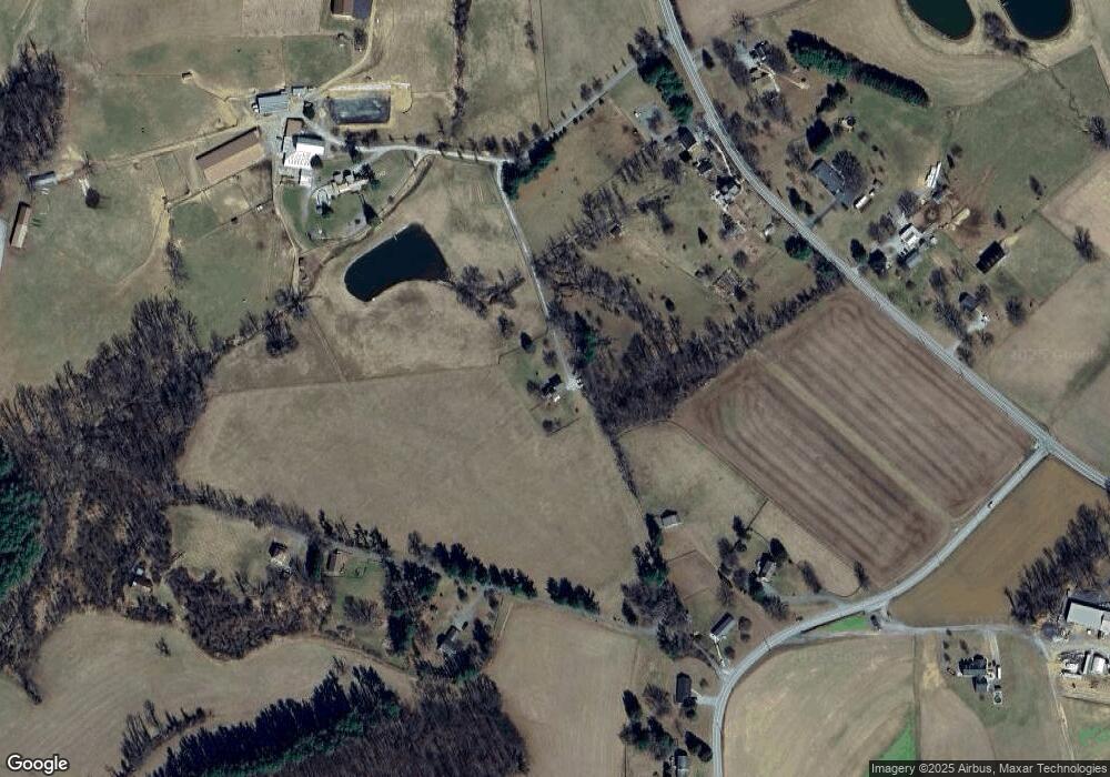
Map
Nearby Homes
- 16546 Trenton Rd
- 16338 Trenton Rd
- 16306 Trenton Rd
- 3114 Mount Zion Rd
- 0 Trenton Mill Rd Unit MDBC2117946
- 15910 Dark Hollow Rd
- 4440 N Woods Trail
- 4470 Woodsman Dr Unit 731
- 17823 Marshall Mill Rd
- 4367 Sycamore Dr
- 1209 Woodland Ct
- 4220 Crystal Ct Unit 3D
- 4240 Crystal Ct Unit 2A
- 806 Clearview Ave
- 920 N Houcksville Rd
- 4138 Hillcrest Ave
- 4210 Upper Beckleysville Rd
- 3992 Terrace Dr
- 18310 Upper Beckleysville Rd
- 820 Wembley Dr Unit 2C
- 16652 Trenton Rd
- 4331 Black Rock Rd
- 16654 Trenton Rd
- 16656 Trenton Rd
- 16706 Trenton Rd
- 4405 Black Rock Rd
- 16650 Trenton Rd
- 16648 Trenton Rd
- 4314 Black Rock Rd
- 4320 Black Rock Rd
- 4400 Black Rock Rd
- 16642 Trenton Rd
- 4308 Black Rock Rd
- 16636 Trenton Rd
- 16705 Trenton Rd
- 4525 Black Rock Rd
- 4515 Black Rock Rd
- 4421 Black Rock Rd
- 4227 Black Rock Rd
- 16627 Trenton Rd
Your Personal Tour Guide
Ask me questions while you tour the home.