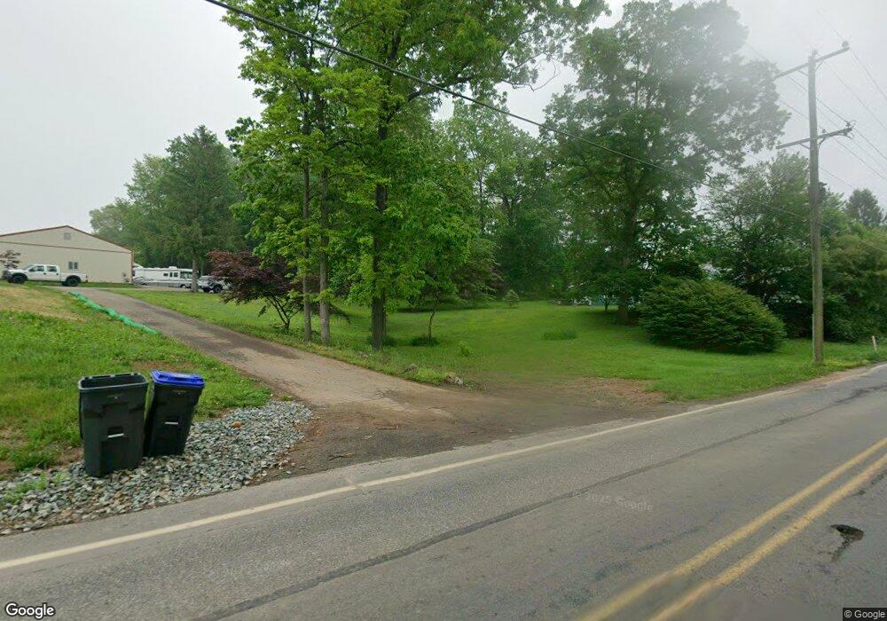
4401 Forge Rd Nottingham, PA 19362
Estimated Value: $319,000 - $536,000
5
Beds
2
Baths
2,781
Sq Ft
$167/Sq Ft
Est. Value
About This Home
This home is located at 4401 Forge Rd, Nottingham, PA 19362 and is currently estimated at $465,473, approximately $167 per square foot. 4401 Forge Rd is a home located in Chester County with nearby schools including Jordan Bank Elementary School, Nottingham School, and Elk Ridge School.
Ownership History
Date
Name
Owned For
Owner Type
Purchase Details
Closed on
Jul 11, 2024
Sold by
Miller Carlton Eric and Miller Keri Ann
Bought by
Miller Carlton Eric and Miller Keri Ann
Current Estimated Value
Purchase Details
Closed on
Jul 8, 2024
Sold by
Glenn Mitchell K
Bought by
Miller Carlton Eric and Miller Keri Ann
Purchase Details
Closed on
Mar 22, 2024
Sold by
Glenn Mitchell K
Bought by
Glenn Mitchell K
Purchase Details
Closed on
Oct 1, 1987
Bought by
Glenn Mitchell K and Glenn Carol A
Create a Home Valuation Report for This Property
The Home Valuation Report is an in-depth analysis detailing your home's value as well as a comparison with similar homes in the area
Home Values in the Area
Average Home Value in this Area
Purchase History
| Date | Buyer | Sale Price | Title Company |
|---|---|---|---|
| Miller Carlton Eric | -- | None Listed On Document | |
| Miller Carlton Eric | -- | None Listed On Document | |
| Miller Carlton Eric | -- | None Listed On Document | |
| Miller Carlton Eric | -- | None Listed On Document | |
| Glenn Mitchell K | -- | None Listed On Document | |
| Glenn Mitchell K | -- | None Listed On Document | |
| Glenn Mitchell K | $105,000 | -- |
Source: Public Records
Tax History
| Year | Tax Paid | Tax Assessment Tax Assessment Total Assessment is a certain percentage of the fair market value that is determined by local assessors to be the total taxable value of land and additions on the property. | Land | Improvement |
|---|---|---|---|---|
| 2025 | $6,580 | $145,630 | $23,110 | $122,520 |
| 2024 | $6,580 | $161,040 | $31,250 | $129,790 |
| 2023 | $6,351 | $161,040 | $31,250 | $129,790 |
| 2022 | $6,145 | $161,040 | $31,250 | $129,790 |
| 2021 | $5,928 | $161,040 | $31,250 | $129,790 |
| 2020 | $5,810 | $161,040 | $31,250 | $129,790 |
| 2019 | $5,760 | $161,040 | $31,250 | $129,790 |
| 2018 | $5,760 | $161,040 | $31,250 | $129,790 |
| 2017 | $5,710 | $161,040 | $31,250 | $129,790 |
| 2016 | $5,124 | $161,040 | $31,250 | $129,790 |
| 2015 | $5,124 | $161,040 | $31,250 | $129,790 |
| 2014 | $5,124 | $161,040 | $31,250 | $129,790 |
Source: Public Records
Map
Nearby Homes
- 380 Glen Roy Rd
- 0 Wickmere Street #F - Empire Unit PACT2103136
- 194 Long Ln
- Wickmere Street #B - Cortland
- 0 Wickmere Street #A - Hemlock Unit PACT2054880
- Wickmere Street #C- Braeburn
- 0 Wickmere Street #F Juniper Unit PACT2063554
- 0 Wickmere Street #E Limerick Unit PACT2063574
- Wickmere Street #D- Fletcher
- 373 Wickmere Street #B - Cortland
- 15 Phillip Dr
- 310 Wickmere St
- 475 W Christine Rd
- 297 Beaumont Dr
- 222 Buckingham St
- 217 Lincolnshire St Unit (BELFAST) LOT 132
- 127 Lincolnshire St
- 1100210 Trinity Dr
- 11011010 Trinity Dr
- 11011110 Trinity Dr
Your Personal Tour Guide
Ask me questions while you tour the home.