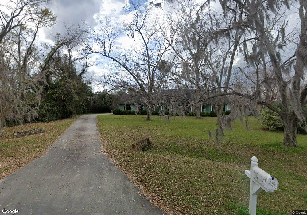
4401 Woodfield Dr Hahira, GA 31632
Estimated Value: $296,072 - $383,000
--
Bed
2
Baths
1,870
Sq Ft
$176/Sq Ft
Est. Value
About This Home
This home is located at 4401 Woodfield Dr, Hahira, GA 31632 and is currently estimated at $329,268, approximately $176 per square foot. 4401 Woodfield Dr is a home located in Lowndes County with nearby schools including Westside Elementary School, Hahira Middle School, and Lowndes High School.
Ownership History
Date
Name
Owned For
Owner Type
Purchase Details
Closed on
Apr 13, 2012
Sold by
Strickland Kenneth L
Bought by
Strickland Kenneth Lamar and Strickland Jennifer Ann
Current Estimated Value
Home Financials for this Owner
Home Financials are based on the most recent Mortgage that was taken out on this home.
Original Mortgage
$135,000
Outstanding Balance
$18,311
Interest Rate
3.96%
Mortgage Type
New Conventional
Estimated Equity
$310,957
Purchase Details
Closed on
Oct 30, 1989
Bought by
Strickland Kenneth L
Create a Home Valuation Report for This Property
The Home Valuation Report is an in-depth analysis detailing your home's value as well as a comparison with similar homes in the area
Home Values in the Area
Average Home Value in this Area
Purchase History
| Date | Buyer | Sale Price | Title Company |
|---|---|---|---|
| Strickland Kenneth Lamar | -- | -- | |
| Strickland Kenneth L | $90,200 | -- |
Source: Public Records
Mortgage History
| Date | Status | Borrower | Loan Amount |
|---|---|---|---|
| Open | Strickland Kenneth Lamar | $135,000 |
Source: Public Records
Tax History Compared to Growth
Tax History
| Year | Tax Paid | Tax Assessment Tax Assessment Total Assessment is a certain percentage of the fair market value that is determined by local assessors to be the total taxable value of land and additions on the property. | Land | Improvement |
|---|---|---|---|---|
| 2024 | $2,346 | $101,760 | $18,000 | $83,760 |
| 2023 | $2,346 | $101,760 | $18,000 | $83,760 |
| 2022 | $1,699 | $64,748 | $18,000 | $46,748 |
| 2021 | $1,772 | $64,748 | $18,000 | $46,748 |
| 2020 | $1,650 | $64,748 | $18,000 | $46,748 |
| 2019 | $1,667 | $64,748 | $18,000 | $46,748 |
| 2018 | $1,683 | $64,748 | $18,000 | $46,748 |
| 2017 | $1,702 | $64,748 | $18,000 | $46,748 |
| 2016 | $1,706 | $64,748 | $18,000 | $46,748 |
| 2015 | $1,637 | $64,748 | $18,000 | $46,748 |
| 2014 | $1,670 | $64,748 | $18,000 | $46,748 |
Source: Public Records
Map
Nearby Homes
- 4504 Wellington Woods Dr
- 4227 Tillman Bluff Rd
- 4501 Wellington Woods Dr
- 5211 Abbott Cir
- 4040 Ashbourne Dr
- 4469 Green Island Rd
- 4029 Ashbourne Dr
- 4267 Whisperwood Cir
- 4005 Ashbourne Dr
- 4801 Springbrook Dr
- 5078 Planters Crossing
- 4900 Tillman Crossing
- 5229 Maycomb Ave
- 4609 Amelia Cir
- 2048 Tottenham Dr
- 1000 Ballantyne Ln
- The Ryleigh Plan at Ballantyne
- The Embry Plan at Ballantyne
- The Carol Plan at Ballantyne
- The Belfort Plan at Ballantyne
- 4403 Woodfield Dr
- 4405 Woodfield Dr
- 4400 Old Us 41 N
- 4400 Woodfield Dr
- 4407 Woodfield Dr
- 4406 Old Us 41 N
- 4404 Woodfield Dr
- 4402 Woodfield Dr
- 4412 Old Us 41 N
- 4406 Woodfield Dr
- 4416 Old U S 41 N
- 4416 Old Us 41 N
- 4506 Wellington Woods Dr
- 4502 Wellington Woods Dr
- 4408 Woodfield Dr
- 4508 Wellington Woods Dr
- 4215 Tillman Bluff Rd
- 4241 Tillman Bluff Rd
- 4410 Woodfield Dr
- 4500 Wellington Woods Dr