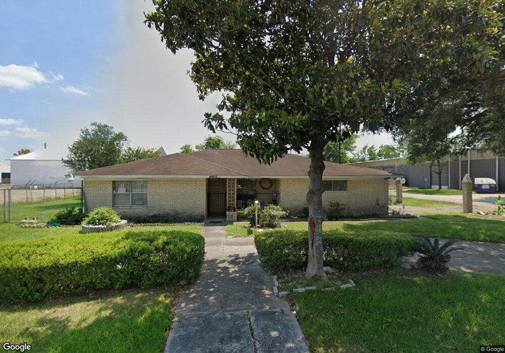
4402 Balkin St Houston, TX 77021
OST-South Union NeighborhoodEstimated Value: $233,717 - $270,000
3
Beds
2
Baths
1,616
Sq Ft
$156/Sq Ft
Est. Value
About This Home
This home is located at 4402 Balkin St, Houston, TX 77021 and is currently estimated at $251,679, approximately $155 per square foot. 4402 Balkin St is a home located in Harris County with nearby schools including Peck Elementary School, Cullen Middle School, and Yates High School.
Ownership History
Date
Name
Owned For
Owner Type
Purchase Details
Closed on
Mar 16, 2023
Sold by
Shepard Maxine Mitchell
Bought by
Shepard Cleveland L
Current Estimated Value
Purchase Details
Closed on
Jan 10, 1997
Sold by
Johnson Jessie Jay
Bought by
Shepard Maxine Mitchell
Purchase Details
Closed on
Mar 16, 1994
Sold by
Shepard Maxine
Bought by
Shepard Iii Cleveland L
Purchase Details
Closed on
Feb 5, 1994
Sold by
Smith Brian Keith
Bought by
Shepard Iii Cleveland L
Create a Home Valuation Report for This Property
The Home Valuation Report is an in-depth analysis detailing your home's value as well as a comparison with similar homes in the area
Home Values in the Area
Average Home Value in this Area
Purchase History
| Date | Buyer | Sale Price | Title Company |
|---|---|---|---|
| Shepard Cleveland L | -- | -- | |
| Shepard Maxine Mitchell | -- | -- | |
| Shepard Iii Cleveland L | -- | -- | |
| Shepard Iii Cleveland L | -- | Stewart Title Houston Divisi |
Source: Public Records
Tax History Compared to Growth
Tax History
| Year | Tax Paid | Tax Assessment Tax Assessment Total Assessment is a certain percentage of the fair market value that is determined by local assessors to be the total taxable value of land and additions on the property. | Land | Improvement |
|---|---|---|---|---|
| 2025 | $4,468 | $181,608 | $135,000 | $46,608 |
| 2024 | $4,468 | $213,552 | $135,000 | $78,552 |
| 2023 | $4,468 | $196,678 | $135,000 | $61,678 |
| 2022 | $2,486 | $183,688 | $105,000 | $78,688 |
| 2021 | $2,392 | $130,000 | $67,500 | $62,500 |
| 2020 | $2,259 | $110,000 | $45,000 | $65,000 |
| 2019 | $2,146 | $102,334 | $37,500 | $64,834 |
| 2018 | $262 | $88,741 | $30,000 | $58,741 |
| 2017 | $1,773 | $88,741 | $30,000 | $58,741 |
| 2016 | $1,611 | $78,173 | $30,000 | $48,173 |
| 2015 | $145 | $82,593 | $30,000 | $52,593 |
| 2014 | $145 | $52,669 | $18,750 | $33,919 |
Source: Public Records
Map
Nearby Homes
- 6834 Foster St
- 6301 Eastwood St
- 5910 Cullen Blvd
- 6403 Goforth St
- 0 Cullen Blvd
- 6602 Cullen Blvd
- 6401 Goforth St
- 6631 Foster St
- 0 Sidney St Unit 28682136
- 6627 Eastwood St
- 6614 London St Unit 12
- 6531 London St
- 6305 Eastwood St
- 6418 England St
- 6434 New York St
- 6325 Cullen Blvd
- 7131 Cullen Blvd
- 5738 Cullen Blvd
- 6405 Conley St
- 6711 Eastwood St