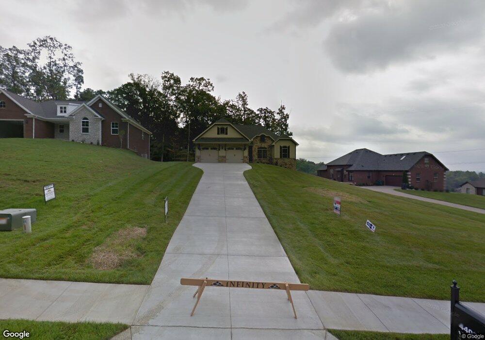
4402 Chandler Ct New Albany, IN 47150
Floyds Knobs NeighborhoodEstimated Value: $432,000 - $642,000
4
Beds
3
Baths
1,652
Sq Ft
$312/Sq Ft
Est. Value
About This Home
This home is located at 4402 Chandler Ct, New Albany, IN 47150 and is currently estimated at $516,074, approximately $312 per square foot. 4402 Chandler Ct is a home located in Floyd County with nearby schools including Grant Line School, Nathaniel Scribner Middle School, and New Albany Senior High School.
Ownership History
Date
Name
Owned For
Owner Type
Purchase Details
Closed on
Feb 27, 2015
Sold by
State Darren
Bought by
Kalos Development Llc
Current Estimated Value
Purchase Details
Closed on
Jan 22, 2015
Sold by
Kalos Development Llc
Bought by
State Darren
Purchase Details
Closed on
Sep 30, 2014
Sold by
Radinet Capital Partners Llc
Bought by
Thompson Daryn and Thompson Lara
Home Financials for this Owner
Home Financials are based on the most recent Mortgage that was taken out on this home.
Original Mortgage
$165,000
Interest Rate
4.07%
Mortgage Type
New Conventional
Purchase Details
Closed on
May 8, 2014
Sold by
Kalos Development Llc
Bought by
Radinet Capital Partners Llc
Purchase Details
Closed on
Mar 28, 2013
Sold by
Richard Gerdon Collection Officer
Bought by
Member
Create a Home Valuation Report for This Property
The Home Valuation Report is an in-depth analysis detailing your home's value as well as a comparison with similar homes in the area
Home Values in the Area
Average Home Value in this Area
Purchase History
| Date | Buyer | Sale Price | Title Company |
|---|---|---|---|
| Kalos Development Llc | -- | Kemp Title Agency Llc | |
| State Darren | -- | -- | |
| Thompson Daryn | -- | -- | |
| Radinet Capital Partners Llc | -- | Kemp Title Agency Llc | |
| Member | $411,000 | -- |
Source: Public Records
Mortgage History
| Date | Status | Borrower | Loan Amount |
|---|---|---|---|
| Previous Owner | Thompson Daryn | $165,000 |
Source: Public Records
Tax History Compared to Growth
Tax History
| Year | Tax Paid | Tax Assessment Tax Assessment Total Assessment is a certain percentage of the fair market value that is determined by local assessors to be the total taxable value of land and additions on the property. | Land | Improvement |
|---|---|---|---|---|
| 2024 | $2,770 | $336,000 | $70,200 | $265,800 |
| 2023 | $2,721 | $345,000 | $70,200 | $274,800 |
| 2022 | $2,980 | $351,000 | $70,200 | $280,800 |
| 2021 | $2,398 | $291,800 | $70,200 | $221,600 |
| 2020 | $2,379 | $294,100 | $70,200 | $223,900 |
| 2019 | $2,932 | $363,500 | $70,200 | $293,300 |
| 2018 | $2,517 | $318,900 | $70,200 | $248,700 |
| 2017 | $2,152 | $268,200 | $70,200 | $198,000 |
| 2016 | $1,965 | $266,000 | $70,200 | $195,800 |
| 2014 | -- | $900 | $900 | $0 |
| 2013 | -- | $900 | $900 | $0 |
Source: Public Records
Map
Nearby Homes
- Lot 34 S Skyline Dr
- LOT 17 S Skyline Dr
- 4441 Reas Ln
- 102 Miede Dr
- 112 Cheryl Dr
- 525 Bald Knob Rd
- 4724 Black Pine Blvd Unit 73
- 4724 Timber Pine Dr Unit 100
- 4722 Timber Pine Dr Unit 99
- 3037 Martin Rd Unit 5
- 4105 Stone Place
- 3807 Homestead Dr
- 30 Doebrook Ct
- 1130 Eastridge Dr
- Lot 1 Jones Ln
- Lot 4 Jones Ln
- 3211 Rolling Creek Dr
- 4834 Ashbury Dr
- 3810 Wayne St
- 3829 Fiske Ave
- 4402 Chandler Ct Unit Lot 7
- 4404 Chandler Ct
- 4320 Loriann Blvd
- 0 Chandler Ct Unit 14 200801322
- 0 Chandler Ct Unit 13 200801321
- 0 Chandler Ct Unit 12 200801320
- 0 Chandler Ct Unit 11 200801319
- 0 Chandler Ct Unit 10 200801318
- 0 Chandler Ct Unit 9 200801317
- 0 Chandler Ct Unit 7 200801314
- 0 Lot 12 Chandler Ct
- 301 Blaze Cir
- 4505 Loriann Blvd
- 4501 Loriann Blvd
- 4406 Chandler Ct
- 4406 Chandler Ct Unit Lot 9
- 4316 Loriann Blvd
- 4400 Loriann Blvd
- 4404 Loriann Blvd
- 4406 Loriann Blvd