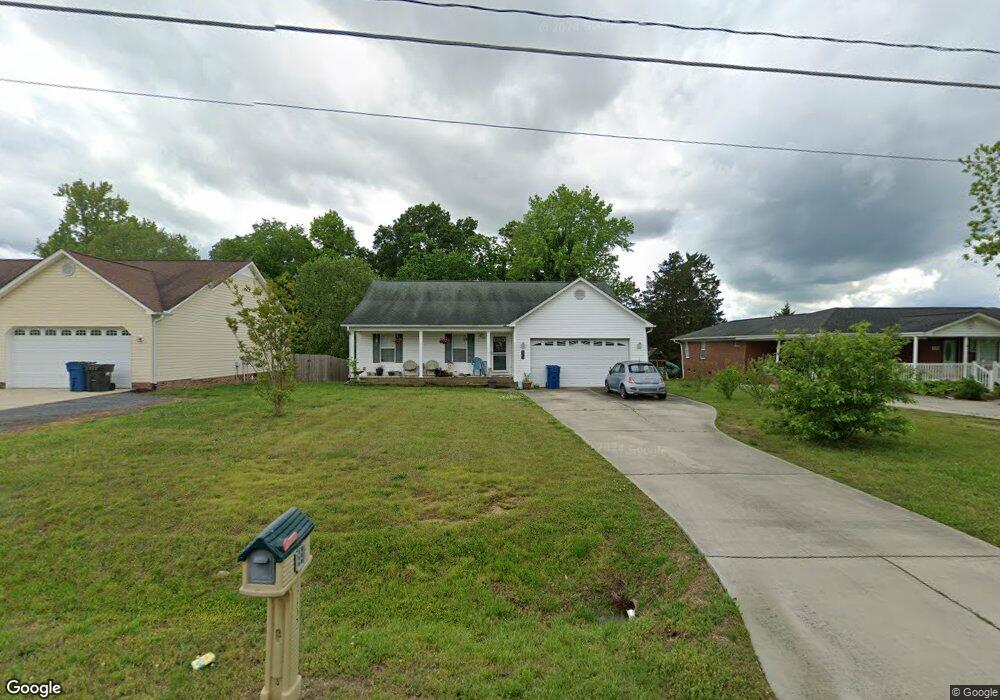
4402 Huff Rd High Point, NC 27263
Estimated Value: $284,000 - $324,000
Studio
2
Baths
1,653
Sq Ft
$185/Sq Ft
Est. Value
About This Home
This home is located at 4402 Huff Rd, High Point, NC 27263 and is currently estimated at $305,755, approximately $184 per square foot. 4402 Huff Rd is a home located in Randolph County with nearby schools including Trindale Elementary School, Wheatmore Middle School, and Trinity High School.
Ownership History
Date
Name
Owned For
Owner Type
Purchase Details
Closed on
Feb 27, 2013
Sold by
Miller Bullard Andrea and Bullard Joseph Julian
Bought by
Lewis David M and Lewis Ginger G
Current Estimated Value
Purchase Details
Closed on
Apr 20, 2009
Sold by
Neumann Yvonne Marlene
Bought by
Miller Andrea Rene
Home Financials for this Owner
Home Financials are based on the most recent Mortgage that was taken out on this home.
Original Mortgage
$126,170
Interest Rate
4.79%
Mortgage Type
FHA
Create a Home Valuation Report for This Property
The Home Valuation Report is an in-depth analysis detailing your home's value as well as a comparison with similar homes in the area
Home Values in the Area
Average Home Value in this Area
Purchase History
| Date | Buyer | Sale Price | Title Company |
|---|---|---|---|
| Lewis David M | $128,000 | None Available | |
| Miller Andrea Rene | $136,000 | None Available |
Source: Public Records
Mortgage History
| Date | Status | Borrower | Loan Amount |
|---|---|---|---|
| Previous Owner | Miller Andrea Rene | $126,170 |
Source: Public Records
Tax History
| Year | Tax Paid | Tax Assessment Tax Assessment Total Assessment is a certain percentage of the fair market value that is determined by local assessors to be the total taxable value of land and additions on the property. | Land | Improvement |
|---|---|---|---|---|
| 2025 | $2,455 | $235,010 | $51,050 | $183,960 |
| 2024 | $2,431 | $235,010 | $51,050 | $183,960 |
| 2023 | $2,431 | $235,010 | $51,050 | $183,960 |
| 2022 | $1,810 | $151,940 | $21,780 | $130,160 |
| 2021 | $1,810 | $151,940 | $21,780 | $130,160 |
| 2020 | $1,769 | $151,940 | $21,780 | $130,160 |
| 2019 | $905 | $151,940 | $21,780 | $130,160 |
| 2018 | $1,657 | $138,860 | $15,680 | $123,180 |
| 2016 | $1,623 | $138,856 | $15,680 | $123,176 |
| 2015 | $1,630 | $138,856 | $15,680 | $123,176 |
| 2014 | -- | $138,856 | $15,680 | $123,176 |
Source: Public Records
Map
Nearby Homes
- 4375 Huff Rd
- 107 Autumn Hill Ct
- 1202 Dogwood Ln
- 108 Sprucewood Ct
- 0 Sprucewood Ct
- 101 Brightleaf Ct
- 147 Dove Meadows Dr
- 105 Oak Ridge Dr
- 113 Oak Way
- 424 Aldridge Rd
- 4020 Knollwood Dr
- 510 Aldridge Rd
- 219 Tarheel Dr
- 0 Waterbury Dr
- 309 Alison Ln
- 118 Rand Blvd
- 0-C Us Highway 311
- 0-A Us Highway 311
- 110 Renola Dr
- 6071 Weant Rd
- 4410 Huff Rd
- 4398 Huff Rd
- 4418 Huff Rd
- 113 Autumn Hill Ct
- 115 Autumn Hill Ct
- 4382 Huff Rd
- 6355 Ashbrook Cir
- 4401 Huff Rd
- 4376 Huff Rd
- 111 Autumn Hill Ct
- 116 Autumn Hill Ct
- 4385 Huff Rd
- 4395 Huff Rd
- 6374 Ashbrook Cir
- 6341 Ashbrook Cir
- 109 Autumn Hill Ct
- 4368 Huff Rd
- 6401 Allendale Dr
- 6403 Allendale Dr
- 6356 Ashbrook Cir
Your Personal Tour Guide
Ask me questions while you tour the home.