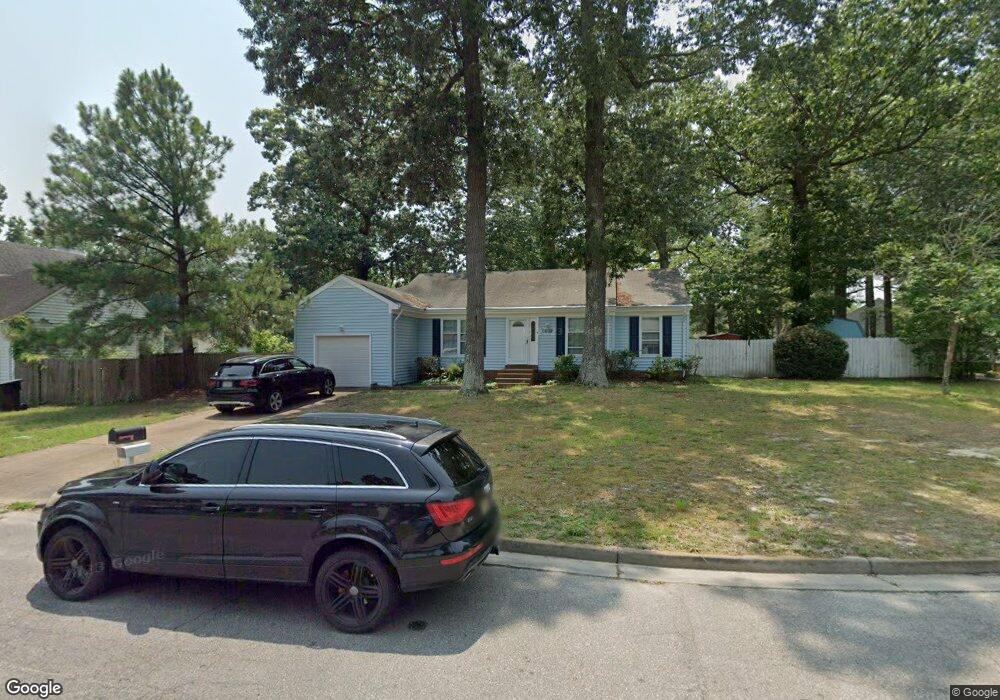
4403 Breezewood Ct Portsmouth, VA 23703
Churchland NeighborhoodEstimated Value: $259,000 - $275,000
3
Beds
2
Baths
1,160
Sq Ft
$229/Sq Ft
Est. Value
About This Home
This home is located at 4403 Breezewood Ct, Portsmouth, VA 23703 and is currently estimated at $265,242, approximately $228 per square foot. 4403 Breezewood Ct is a home located in Portsmouth City with nearby schools including Churchland Primary/Intermediate School, Churchland Middle School, and Churchland High School.
Ownership History
Date
Name
Owned For
Owner Type
Purchase Details
Closed on
Sep 5, 2024
Sold by
Cooke Ernest R and Cooke Doreen Z
Bought by
Rabidoux Mason
Current Estimated Value
Home Financials for this Owner
Home Financials are based on the most recent Mortgage that was taken out on this home.
Original Mortgage
$228,000
Outstanding Balance
$225,216
Interest Rate
6.47%
Mortgage Type
New Conventional
Estimated Equity
$40,026
Create a Home Valuation Report for This Property
The Home Valuation Report is an in-depth analysis detailing your home's value as well as a comparison with similar homes in the area
Home Values in the Area
Average Home Value in this Area
Purchase History
| Date | Buyer | Sale Price | Title Company |
|---|---|---|---|
| Rabidoux Mason | $240,000 | First American Title |
Source: Public Records
Mortgage History
| Date | Status | Borrower | Loan Amount |
|---|---|---|---|
| Open | Rabidoux Mason | $228,000 |
Source: Public Records
Tax History Compared to Growth
Tax History
| Year | Tax Paid | Tax Assessment Tax Assessment Total Assessment is a certain percentage of the fair market value that is determined by local assessors to be the total taxable value of land and additions on the property. | Land | Improvement |
|---|---|---|---|---|
| 2025 | $2,783 | $235,600 | $86,400 | $149,200 |
| 2024 | $2,783 | $212,370 | $86,400 | $125,970 |
| 2023 | $2,811 | $211,170 | $86,400 | $124,770 |
| 2022 | $2,727 | $197,970 | $72,000 | $125,970 |
| 2021 | $2,266 | $174,270 | $48,300 | $125,970 |
| 2020 | $2,173 | $167,170 | $46,000 | $121,170 |
| 2019 | $2,158 | $165,970 | $46,000 | $119,970 |
| 2018 | $2,158 | $165,970 | $46,000 | $119,970 |
| 2017 | $2,158 | $165,970 | $46,000 | $119,970 |
| 2016 | $2,158 | $165,970 | $46,000 | $119,970 |
| 2015 | $2,158 | $165,970 | $46,000 | $119,970 |
| 2014 | $2,108 | $165,970 | $46,000 | $119,970 |
Source: Public Records
Map
Nearby Homes
- 4444 Southampton Arch
- 21 Windy Pines Crescent
- 5833 Hawthorne Ln
- 4619 River Shore Rd
- 5728 Hawthorne Ln
- 4726 River Shore Rd
- 4224 Burnham Dr
- 4232 Summerset Dr
- 4200 Quince Rd
- 8 Compass Ct
- 5693 Rivermill Cir
- 5606 Gregory Ct
- 17 Shoal Ct
- 4100 Mayfair Way
- 4071 Long Point Blvd
- 4028 Swannanoa Dr
- 6750 Burbage Landing Cir
- 5807 Dunkin St
- 6602 James Point Ct
- 5028 Bay Cir
- 5802 Pleasant Woods Ct
- 4405 Breezewood Ct
- 5800 Pleasant Woods Ct
- 4407 Breezewood Ct
- 4402 Breezewood Ct
- 4404 Breezewood Ct
- 4400 Breezewood Ct
- 4409 Breezewood Ct
- 4408 Breezewood Ct
- 4406 Breezewood Ct
- 3801 Windy Pines Landing
- 5807 Pleasant Woods Ct
- 5806 Pleasant Woods Ct
- 5809 Pleasant Woods Ct
- 5805 Pleasant Woods Ct
- 4402 Echo Ct
- 3800 Windy Pines Landing
- 4400 Echo Ct
- 5811 Pleasant Woods Ct
- 3805 Windy Pines Landing