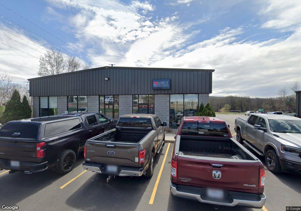
4403 Stewart Ave Wausau, WI 54401
Estimated Value: $515,327
--
Bed
2
Baths
6,000
Sq Ft
$86/Sq Ft
Est. Value
About This Home
This home is located at 4403 Stewart Ave, Wausau, WI 54401 and is currently estimated at $515,327, approximately $85 per square foot. 4403 Stewart Ave is a home located in Marathon County with nearby schools including Stettin Elementary School, John Muir Middle School, and West High School.
Ownership History
Date
Name
Owned For
Owner Type
Purchase Details
Closed on
Feb 28, 2022
Sold by
Stewart Avenue Llc
Bought by
Bassett Wausau Llc
Current Estimated Value
Purchase Details
Closed on
Dec 14, 2006
Sold by
Island City Point Llc
Bought by
Stewart Avenue Llc
Home Financials for this Owner
Home Financials are based on the most recent Mortgage that was taken out on this home.
Original Mortgage
$390,000
Interest Rate
6.36%
Mortgage Type
Commercial
Create a Home Valuation Report for This Property
The Home Valuation Report is an in-depth analysis detailing your home's value as well as a comparison with similar homes in the area
Home Values in the Area
Average Home Value in this Area
Purchase History
| Date | Buyer | Sale Price | Title Company |
|---|---|---|---|
| Bassett Wausau Llc | $395,000 | Paul E. Duerst | |
| Stewart Avenue Llc | $500,000 | None Available |
Source: Public Records
Mortgage History
| Date | Status | Borrower | Loan Amount |
|---|---|---|---|
| Previous Owner | Stewart Avenue Llc | $390,000 |
Source: Public Records
Tax History Compared to Growth
Tax History
| Year | Tax Paid | Tax Assessment Tax Assessment Total Assessment is a certain percentage of the fair market value that is determined by local assessors to be the total taxable value of land and additions on the property. | Land | Improvement |
|---|---|---|---|---|
| 2024 | $8,807 | $459,000 | $181,200 | $277,800 |
| 2023 | $10,016 | $393,800 | $122,000 | $271,800 |
| 2022 | $10,013 | $393,800 | $122,000 | $271,800 |
| 2021 | $9,690 | $393,800 | $122,000 | $271,800 |
| 2020 | $9,822 | $393,800 | $122,000 | $271,800 |
| 2019 | $10,864 | $406,000 | $95,800 | $310,200 |
| 2018 | $10,712 | $406,000 | $95,800 | $310,200 |
| 2017 | $10,337 | $406,000 | $95,800 | $310,200 |
| 2016 | $10,057 | $406,000 | $95,800 | $310,200 |
| 2015 | $10,308 | $406,000 | $95,800 | $310,200 |
| 2014 | $9,909 | $410,000 | $95,800 | $314,200 |
Source: Public Records
Map
Nearby Homes
- 210 S 45th Ave
- 206 N 44th Ave
- 4615 Rib River Trail
- 310 Lisbeth Rd
- 3401 Christian Ave
- 210 Bluestone Dr
- 5713 Birchwood Dr
- 303 Rimrock Rd
- 2812 Hubbill Ave
- 6007 Birchwood Dr
- 212 Windtree Dr
- 227815 Sharptail Rd
- 6603 Conner Davis Dr
- 2102 Wegner St
- 6607 Morgan Creek Dr
- 6011 Stettin Dr
- 2117 Sherman St
- 116 S 68th Ave
- 1708 Pardee St
- 150811 County Road Nn
- 4405 Stewart Ave
- 4317 Stewart Ave
- 4411 Stewart Ave
- 4404 Stewart Ave
- 4307 Stewart Ave
- 4414 Stewart Ave
- 5801 Stewart Ave
- 4455 Stewart Ave
- 647 Brooks Place
- 653 Brooks Place
- 635 S 44th Ave
- 629 Brooks Place
- 4205 Stewart Ave
- 4300 Stewart Ave
- Lot 16 Brooks Crossing
- 625 Brooks Place Unit 627
- 625 Brooks Place Unit 625A Brooks Place
- 625 Brooks Place
- 627 Brooks Place
- 657 Brooks Place