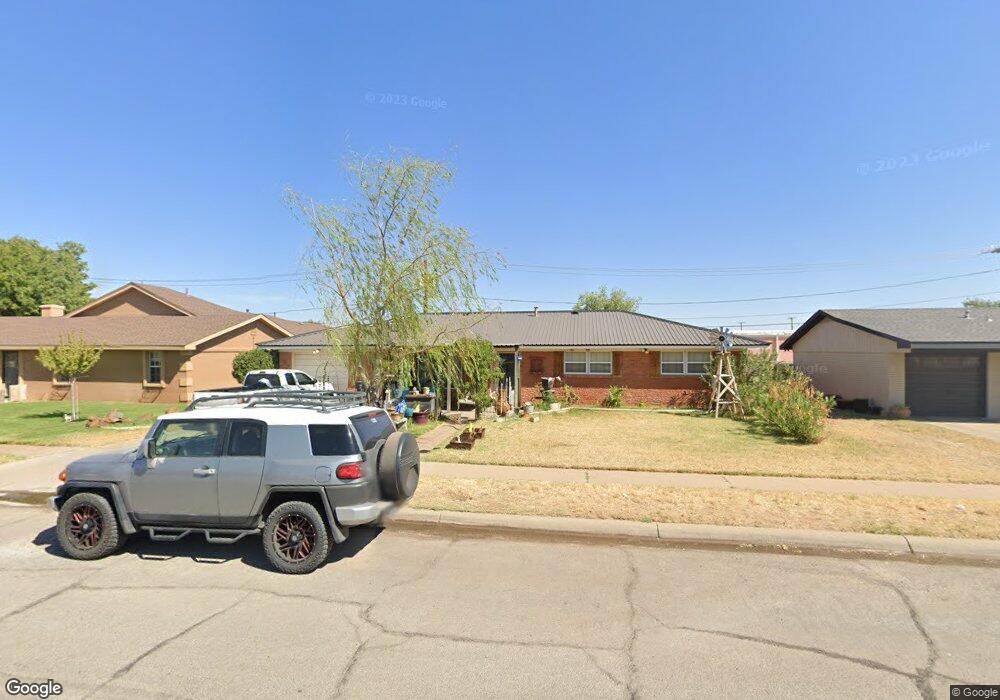
4404 Stanolind Ave Midland, TX 79707
Scotsdale NeighborhoodEstimated Value: $222,725 - $267,000
--
Bed
2
Baths
1,301
Sq Ft
$188/Sq Ft
Est. Value
About This Home
This home is located at 4404 Stanolind Ave, Midland, TX 79707 and is currently estimated at $245,181, approximately $188 per square foot. 4404 Stanolind Ave is a home located in Midland County with nearby schools including Bush Elementary School, Abell Junior High School, and Legacy Senior High School.
Ownership History
Date
Name
Owned For
Owner Type
Purchase Details
Closed on
May 15, 2025
Sold by
Odom Audrey Eugene and Towery William
Bought by
Towery William and Odom Audrey Eugene
Current Estimated Value
Purchase Details
Closed on
Mar 18, 2021
Sold by
Beach Carl C
Bought by
Odom Gene
Purchase Details
Closed on
Jan 1, 2020
Sold by
Beach Margaret A
Bought by
Odom Gene
Purchase Details
Closed on
Dec 3, 1975
Bought by
Odom Gene
Create a Home Valuation Report for This Property
The Home Valuation Report is an in-depth analysis detailing your home's value as well as a comparison with similar homes in the area
Home Values in the Area
Average Home Value in this Area
Purchase History
| Date | Buyer | Sale Price | Title Company |
|---|---|---|---|
| Towery William | -- | None Listed On Document | |
| Towery William | -- | None Listed On Document | |
| Odom Gene | -- | None Available | |
| Odom Gene | -- | None Available | |
| Odom Gene | -- | -- |
Source: Public Records
Tax History Compared to Growth
Tax History
| Year | Tax Paid | Tax Assessment Tax Assessment Total Assessment is a certain percentage of the fair market value that is determined by local assessors to be the total taxable value of land and additions on the property. | Land | Improvement |
|---|---|---|---|---|
| 2024 | $918 | $177,860 | $15,770 | $162,090 |
| 2023 | $2,673 | $178,360 | $15,770 | $162,590 |
| 2022 | $2,580 | $165,160 | $15,770 | $149,390 |
| 2021 | $2,822 | $162,010 | $15,770 | $146,240 |
| 2020 | $907 | $160,810 | $15,770 | $145,040 |
| 2019 | $2,889 | $152,620 | $15,770 | $145,040 |
| 2018 | $2,698 | $138,750 | $15,770 | $124,810 |
| 2017 | $2,452 | $126,130 | $15,770 | $115,080 |
| 2016 | $2,078 | $114,670 | $15,770 | $99,610 |
| 2015 | -- | $104,240 | $15,770 | $95,280 |
| 2014 | -- | $108,010 | $15,770 | $92,240 |
Source: Public Records
Map
Nearby Homes
- 2006 Northern Ln
- 1905 Northern Ln
- 4313 W Dengar Ave
- 1810 Northern Ln
- 3802 Stanolind Ave
- 1812 Northern Ln
- 4342 W Dengar Ave
- 1828 Northern Ln
- 2000 Freeport Ln
- 1824 Northern Ln
- 1826 Northern Ln
- 1820 Northern Ln
- 1802 Northern Ln
- 1818 Northern Ln
- 1808 Northern Ln
- 2306 Abbey Place
- 1816 Northern Ln
- 3802 Suncrest Ave
- 2906 Aurora Ln
- 3702 Shell Ave
- 4402 Stanolind Ave
- 4406 Stanolind Ave
- 4408 Stanolind Ave
- 4400 Stanolind Ave
- 4405 Stanolind Ave
- 4403 Stanolind Ave
- 4407 Stanolind Ave
- 2301 Matheson Dr
- 2309 Matheson Dr
- 2307 Matheson Dr
- 4401 Stanolind Ave
- 4409 Stanolind Ave
- 4410 Stanolind Ave
- 2207 Northern Ln
- 2207 Matheson Dr
- 2212 Bear Dr
- 4411 Stanolind Ave
- 2304 Bear Dr
- 2204 Bear Dr