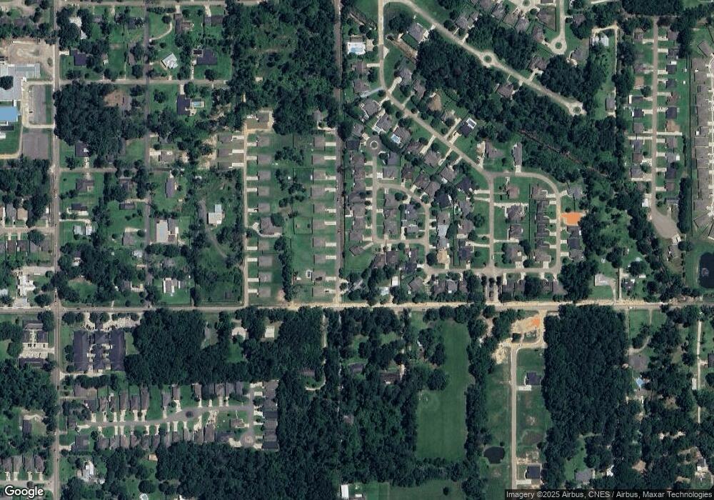
44051 High Oats Trail Hammond, LA 70403
Estimated Value: $238,734 - $330,000
--
Bed
--
Bath
2,235
Sq Ft
$125/Sq Ft
Est. Value
About This Home
This home is located at 44051 High Oats Trail, Hammond, LA 70403 and is currently estimated at $279,684, approximately $125 per square foot. 44051 High Oats Trail is a home located in Tangipahoa Parish with nearby schools including Woodland Park Magnet, Hammond High Magnet School, and Tangi Academy.
Ownership History
Date
Name
Owned For
Owner Type
Purchase Details
Closed on
May 14, 2008
Sold by
Richardson Tanika D
Bought by
Moonlight Management
Current Estimated Value
Purchase Details
Closed on
Oct 30, 2006
Sold by
Daelen Of Tangipahoa Llc
Bought by
Richardson Tanika Deshon
Home Financials for this Owner
Home Financials are based on the most recent Mortgage that was taken out on this home.
Original Mortgage
$43,750
Interest Rate
6.28%
Mortgage Type
Stand Alone Second
Create a Home Valuation Report for This Property
The Home Valuation Report is an in-depth analysis detailing your home's value as well as a comparison with similar homes in the area
Home Values in the Area
Average Home Value in this Area
Purchase History
| Date | Buyer | Sale Price | Title Company |
|---|---|---|---|
| Moonlight Management | -- | None Available | |
| Richardson Tanika Deshon | $218,750 | None Available |
Source: Public Records
Mortgage History
| Date | Status | Borrower | Loan Amount |
|---|---|---|---|
| Previous Owner | Richardson Tanika Deshon | $43,750 | |
| Previous Owner | Richardson Tanika Deshon | $175,000 |
Source: Public Records
Tax History Compared to Growth
Tax History
| Year | Tax Paid | Tax Assessment Tax Assessment Total Assessment is a certain percentage of the fair market value that is determined by local assessors to be the total taxable value of land and additions on the property. | Land | Improvement |
|---|---|---|---|---|
| 2024 | $1,653 | $19,973 | $1,296 | $18,677 |
| 2023 | $1,677 | $20,067 | $1,200 | $18,867 |
| 2022 | $1,677 | $20,067 | $1,200 | $18,867 |
| 2021 | $1,478 | $20,067 | $1,200 | $18,867 |
| 2020 | $2,099 | $20,067 | $1,200 | $18,867 |
| 2019 | $2,093 | $20,067 | $1,200 | $18,867 |
| 2018 | $660 | $6,311 | $2,500 | $3,811 |
| 2017 | $660 | $6,311 | $2,500 | $3,811 |
| 2016 | $660 | $6,311 | $2,500 | $3,811 |
| 2015 | -- | $6,311 | $2,500 | $3,811 |
| 2014 | -- | $6,311 | $2,500 | $3,811 |
Source: Public Records
Map
Nearby Homes
- 44083 High Oats Trail
- 17198 Bridle Path
- 17198 Bridle Path None
- 17252 English Saddle Ln
- 44018 Easy St
- 17314 Paddock Cir
- 17310 Paddock Cir
- 43484 Springwood Way
- 44035 Sweet William Dr
- 17253 Churchill Dr
- 43448 Springwood Way
- 44111 Covington Ridge Dr
- 17351 Old Covington Hwy
- 17142 Parker Ln
- 44299 Country Creek Ln Unit 10
- 44299 Country Creek Ln Unit LOT 8
- 901 S Chestnut St
- 0 Simpson Place
- 17063 E Park Ave
- 44055 High Oats Trail None
- 44055 High Oats Trail
- 44043 High Oats Trail
- 44059 High Oats Trail
- 44043 High Oats Other
- 44033 Fern St
- 44025 Fern St
- 44008 Fern St
- 44041 Fern St
- 44039 High Oats Trail
- 44017 Fern St
- 44065 High Oats Trail
- 44064 High Oats Trail
- 17153 Old Covington Hwy
- 44070 High Oats Trail
- 44070 High Oats Trail Other
- 44071 High Oats Trail
- 17186 Bridle Path
- 44009 Fern St
- 17186 Bridle Path Other
