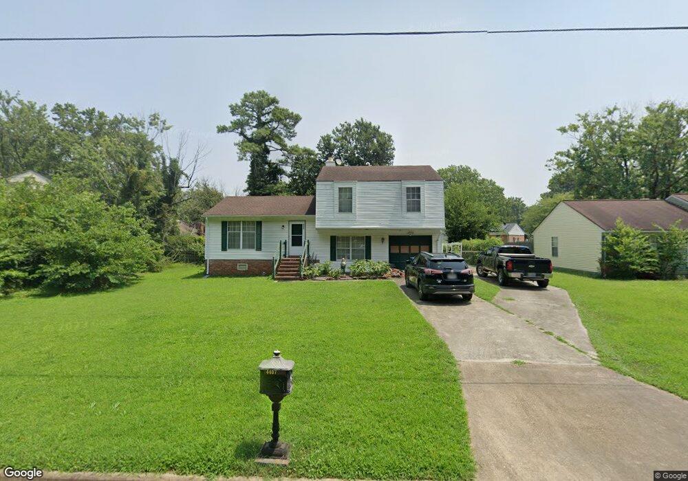
4407 Twin Pines Rd Portsmouth, VA 23703
Churchland NeighborhoodEstimated Value: $310,000 - $322,000
--
Bed
2
Baths
1,423
Sq Ft
$222/Sq Ft
Est. Value
About This Home
This home is located at 4407 Twin Pines Rd, Portsmouth, VA 23703 and is currently estimated at $315,624, approximately $221 per square foot. 4407 Twin Pines Rd is a home located in Portsmouth City with nearby schools including Churchland Primary/Intermediate School, Churchland Middle School, and Churchland High School.
Ownership History
Date
Name
Owned For
Owner Type
Purchase Details
Closed on
Jun 19, 2007
Sold by
Corsar Christopher S
Bought by
Daane Dale I
Current Estimated Value
Home Financials for this Owner
Home Financials are based on the most recent Mortgage that was taken out on this home.
Original Mortgage
$243,600
Outstanding Balance
$149,945
Interest Rate
6.39%
Mortgage Type
New Conventional
Estimated Equity
$165,679
Create a Home Valuation Report for This Property
The Home Valuation Report is an in-depth analysis detailing your home's value as well as a comparison with similar homes in the area
Home Values in the Area
Average Home Value in this Area
Purchase History
| Date | Buyer | Sale Price | Title Company |
|---|---|---|---|
| Daane Dale I | $240,000 | -- |
Source: Public Records
Mortgage History
| Date | Status | Borrower | Loan Amount |
|---|---|---|---|
| Open | Daane Dale I | $243,600 |
Source: Public Records
Tax History Compared to Growth
Tax History
| Year | Tax Paid | Tax Assessment Tax Assessment Total Assessment is a certain percentage of the fair market value that is determined by local assessors to be the total taxable value of land and additions on the property. | Land | Improvement |
|---|---|---|---|---|
| 2025 | $3,363 | $263,180 | $90,000 | $173,180 |
| 2024 | $3,363 | $259,500 | $90,000 | $169,500 |
| 2023 | $3,014 | $241,130 | $90,000 | $151,130 |
| 2022 | $2,764 | $212,650 | $75,000 | $137,650 |
| 2021 | $2,443 | $187,960 | $50,310 | $137,650 |
| 2020 | $2,412 | $185,570 | $47,920 | $137,650 |
| 2019 | $2,333 | $179,450 | $47,920 | $131,530 |
| 2018 | $2,333 | $179,450 | $47,920 | $131,530 |
| 2017 | $2,333 | $179,450 | $47,920 | $131,530 |
| 2016 | $2,333 | $179,450 | $47,920 | $131,530 |
| 2015 | $2,253 | $173,320 | $47,920 | $125,400 |
| 2014 | $2,201 | $173,320 | $47,920 | $125,400 |
Source: Public Records
Map
Nearby Homes
- 5833 Hawthorne Ln
- 4444 Southampton Arch
- 21 Windy Pines Crescent
- 5728 Hawthorne Ln
- 4224 Burnham Dr
- 4232 Summerset Dr
- 4619 River Shore Rd
- 4200 Quince Rd
- 5606 Gregory Ct
- 5693 Rivermill Cir
- 8 Compass Ct
- 4028 Swannanoa Dr
- 4726 River Shore Rd
- 4100 Mayfair Way
- 5807 Dunkin St
- 17 Shoal Ct
- 4071 Long Point Blvd
- 3433 Willow Breeze Dr
- 6750 Burbage Landing Cir
- 3866 Augustine Cir
- 4405 Twin Pines Rd
- 4403 Southampton Arch
- 5864 Trotman Cir
- 4403 Twin Pines Rd
- 3801 Sunset Point
- 5 Windy Pines Ct
- 5868 Trotman Cir
- 4405 Southampton Arch
- 7 Windy Pines Ct
- 5860 Trotman Cir
- 4401 Twin Pines Rd
- 4400 Southampton Arch
- 3805 Sunset Point
- 3638 Sunset Point
- 5872 Trotman Cir
- 4407 Southampton Arch
- 4404 Southampton Arch
- 3800 Sunset Point
- 9 Windy Pines Ct
- 3804 Sunset Point