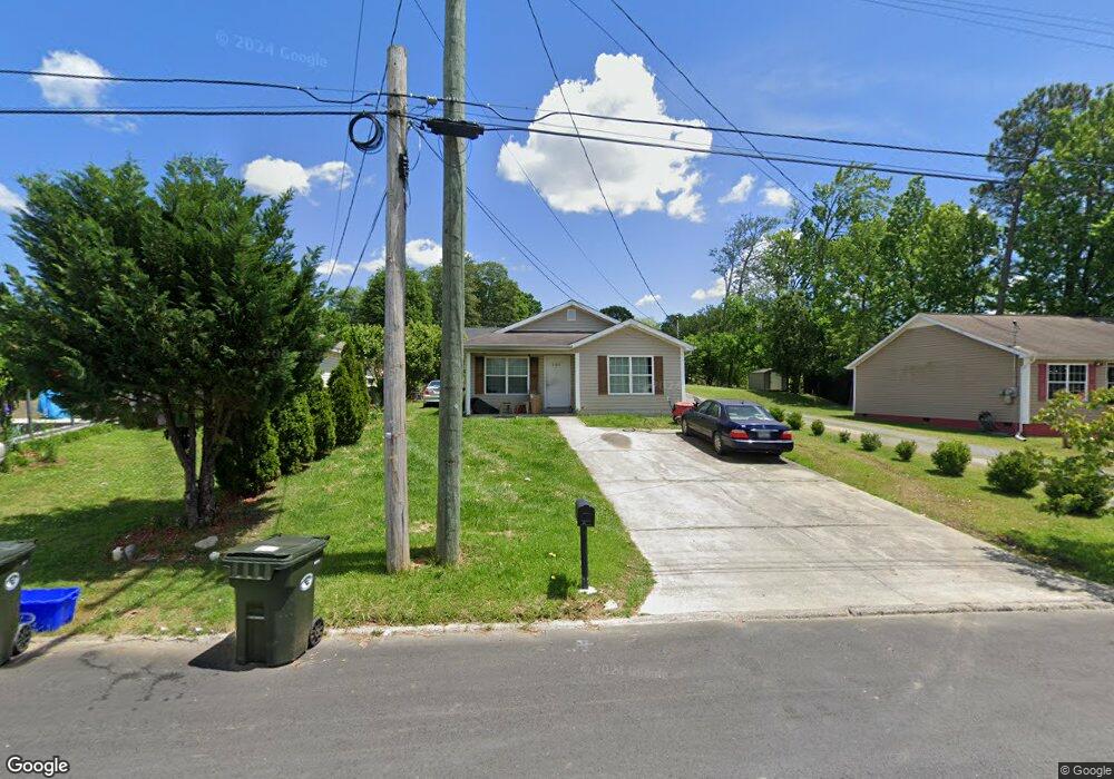
441 11th Ave Dalton, GA 30721
Estimated Value: $195,000 - $222,000
3
Beds
2
Baths
962
Sq Ft
$216/Sq Ft
Est. Value
About This Home
This home is located at 441 11th Ave, Dalton, GA 30721 and is currently estimated at $207,417, approximately $215 per square foot. 441 11th Ave is a home located in Whitfield County with nearby schools including Blue Ridge Elementary School, Dalton High School, and Rock Hill School.
Ownership History
Date
Name
Owned For
Owner Type
Purchase Details
Closed on
Jun 19, 2025
Sold by
Cordova Melvin
Bought by
Sanchez Erick Oswaldo Cord and Cordova Oscar Saul
Current Estimated Value
Purchase Details
Closed on
Mar 11, 2011
Sold by
Federal National Mortgage Association
Bought by
Cordova Melvin
Home Financials for this Owner
Home Financials are based on the most recent Mortgage that was taken out on this home.
Original Mortgage
$51,712
Interest Rate
5.25%
Mortgage Type
FHA
Purchase Details
Closed on
Nov 2, 2010
Sold by
Wells Fargo Bank Na
Bought by
Federal National Mtg Associati
Purchase Details
Closed on
Feb 26, 2007
Sold by
Not Provided
Bought by
Cordova Melvin
Home Financials for this Owner
Home Financials are based on the most recent Mortgage that was taken out on this home.
Original Mortgage
$110,400
Interest Rate
6.19%
Mortgage Type
New Conventional
Create a Home Valuation Report for This Property
The Home Valuation Report is an in-depth analysis detailing your home's value as well as a comparison with similar homes in the area
Purchase History
| Date | Buyer | Sale Price | Title Company |
|---|---|---|---|
| Sanchez Erick Oswaldo Cord | -- | None Listed On Document | |
| Cordova Melvin | $126,834 | -- | |
| Federal National Mtg Associati | $126,834 | -- | |
| Wells Fargo Bank Na | $126,834 | -- | |
| Cordova Melvin | $110,400 | -- |
Source: Public Records
Mortgage History
| Date | Status | Borrower | Loan Amount |
|---|---|---|---|
| Previous Owner | Wells Fargo Bank Na | $51,712 | |
| Previous Owner | Cordova Melvin | $110,400 |
Source: Public Records
Tax History
| Year | Tax Paid | Tax Assessment Tax Assessment Total Assessment is a certain percentage of the fair market value that is determined by local assessors to be the total taxable value of land and additions on the property. | Land | Improvement |
|---|---|---|---|---|
| 2025 | $1,903 | $58,760 | $8,400 | $50,360 |
| 2024 | $1,903 | $58,760 | $8,400 | $50,360 |
| 2023 | $1,273 | $34,530 | $4,000 | $30,530 |
| 2022 | $926 | $26,886 | $4,000 | $22,886 |
| 2021 | $927 | $26,886 | $4,000 | $22,886 |
| 2020 | $963 | $26,886 | $4,000 | $22,886 |
| 2019 | $993 | $26,886 | $4,000 | $22,886 |
| 2018 | $709 | $26,886 | $4,000 | $22,886 |
| 2017 | $677 | $26,886 | $4,000 | $22,886 |
| 2016 | $603 | $24,816 | $4,000 | $20,816 |
| 2014 | $905 | $34,351 | $10,080 | $24,271 |
| 2013 | -- | $34,350 | $10,080 | $24,270 |
Source: Public Records
Map
Nearby Homes
- 514 Sheridan Ave
- 306 Robinwood Dr
- 406 Lester Ave
- 1104 May St
- 436 Whitener Dr
- 1112 Riverbend Dr
- 626 Fifth Ave
- 1902 Bartenfield Dr
- 1302 Jackson Rd
- 1118 Dozier St
- 902 Mattie Dr
- 303 Janice St
- 1629 Roosevelt Dr
- 432 4th Ave
- 171 Keith St
- 1317 Coker Dr
- 204 N Bogle St
- 143 Staten St
- 301B Fields Ave
- 359 Pacer Ln Unit 4
Your Personal Tour Guide
Ask me questions while you tour the home.