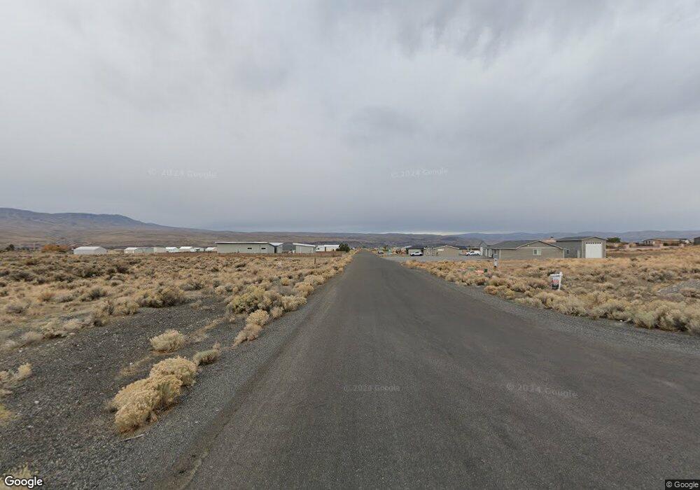
441 Airport Way SW Mattawa, WA 99349
Estimated Value: $103,229 - $439,000
--
Bed
--
Bath
--
Sq Ft
0.5
Acres
About This Home
This home is located at 441 Airport Way SW, Mattawa, WA 99349 and is currently estimated at $209,307. 441 Airport Way SW is a home with nearby schools including Wahluke High School.
Ownership History
Date
Name
Owned For
Owner Type
Purchase Details
Closed on
Oct 26, 2020
Sold by
Heslop Ronald D
Bought by
Running Kirk and Running Lori
Current Estimated Value
Home Financials for this Owner
Home Financials are based on the most recent Mortgage that was taken out on this home.
Original Mortgage
$54,075
Outstanding Balance
$47,899
Interest Rate
2.8%
Mortgage Type
New Conventional
Estimated Equity
$161,408
Purchase Details
Closed on
Aug 15, 2016
Sold by
Heslop Marylee
Bought by
Heslop Ronald D
Purchase Details
Closed on
May 30, 2006
Sold by
Desert Aire Associates
Bought by
Heslop Ronald D and Heslop Marylee
Create a Home Valuation Report for This Property
The Home Valuation Report is an in-depth analysis detailing your home's value as well as a comparison with similar homes in the area
Home Values in the Area
Average Home Value in this Area
Purchase History
| Date | Buyer | Sale Price | Title Company |
|---|---|---|---|
| Running Kirk | $77,250 | Amerititle Ellensburg | |
| Heslop Ronald D | -- | None Available | |
| Heslop Ronald D | $86,400 | Security Title Guara |
Source: Public Records
Mortgage History
| Date | Status | Borrower | Loan Amount |
|---|---|---|---|
| Open | Running Kirk | $54,075 |
Source: Public Records
Tax History Compared to Growth
Tax History
| Year | Tax Paid | Tax Assessment Tax Assessment Total Assessment is a certain percentage of the fair market value that is determined by local assessors to be the total taxable value of land and additions on the property. | Land | Improvement |
|---|---|---|---|---|
| 2025 | $1,142 | $115,500 | -- | -- |
| 2024 | $1,121 | $115,500 | $115,500 | $0 |
| 2023 | $928 | $56,750 | $56,750 | $0 |
| 2022 | $625 | $56,750 | $56,750 | $0 |
| 2021 | $435 | $56,750 | $56,750 | $0 |
| 2020 | $456 | $38,000 | $38,000 | $0 |
| 2019 | $450 | $37,500 | $37,500 | $0 |
| 2018 | $493 | $37,500 | $37,500 | $0 |
| 2017 | $459 | $37,500 | $37,500 | $0 |
| 2016 | $503 | $41,250 | $41,250 | $0 |
| 2013 | -- | $37,500 | $37,500 | $0 |
Source: Public Records
Map
Nearby Homes
- 447 Airport Way SW
- 449 Airport Way SW
- 101 Wren Loop
- 304 Airport Way SW
- 313 Airport Way SW
- 453 Airport Way SW
- 113 Airport Way N Unit 3
- 206 Moon River View
- 208 Moon River View SW
- 206 Cherry Ln W
- 204 Cherry Ln W
- 207 Clayton Place SW
- 227 Sunshine Cir S
- 412 Apple Place SW
- 310 Buttercup Ln SW
- 851 Desert Aire Dr SW
- 334 Rainbow Place W
- 205 Fairway Place S
- 344 Rainbow Place W
- 894 Desert Aire Dr SW
- 439 Airport Way SW
- 437 Airport Way SW
- 440 SW Airport Way Unit 213
- 445 Airport Way SW
- 442 Airport Way SW
- 438 Airport Way SW
- 436 Airport Way N
- 444 SW Airport Way
- 436 Airport Way SW
- 435 Airport Way N
- 192 Davidson Blvd N
- 190 Davidson Blvd SW
- 103 Wren Lp SW
- 446 SW Airport Way
- 434 Airport Way SW
- 101 Wren Lp SW
- 433 Airport Way N
- 448 SW Airport Way
- 191 Davidson Blvd N
- 194 Davidson Blvd N
