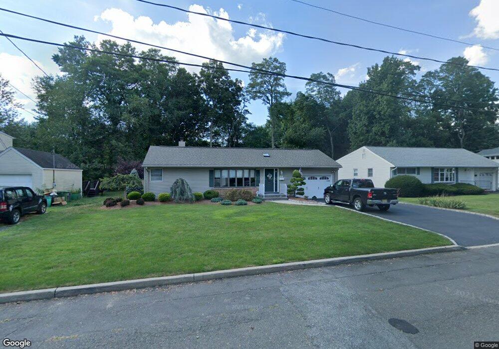
441 Beech Ave Paramus, NJ 07652
Estimated Value: $707,182 - $952,000
Studio
--
Bath
1,498
Sq Ft
$580/Sq Ft
Est. Value
About This Home
This home is located at 441 Beech Ave, Paramus, NJ 07652 and is currently estimated at $868,546, approximately $579 per square foot. 441 Beech Ave is a home located in Bergen County with nearby schools including Paramus High School and David Gregory School.
Ownership History
Date
Name
Owned For
Owner Type
Purchase Details
Closed on
Oct 31, 2024
Sold by
Monahan Michael J
Bought by
Monahan Michael J
Current Estimated Value
Purchase Details
Closed on
May 4, 2018
Sold by
Monahan Michael J and Monahan Catherine T
Bought by
Monahan Michael J and Monahan Catherine T
Create a Home Valuation Report for This Property
The Home Valuation Report is an in-depth analysis detailing your home's value as well as a comparison with similar homes in the area
Home Values in the Area
Average Home Value in this Area
Purchase History
| Date | Buyer | Sale Price | Title Company |
|---|---|---|---|
| Monahan Michael J | -- | None Listed On Document | |
| Monahan Michael J | -- | None Listed On Document | |
| Monahan Michael J | -- | -- |
Source: Public Records
Tax History
| Year | Tax Paid | Tax Assessment Tax Assessment Total Assessment is a certain percentage of the fair market value that is determined by local assessors to be the total taxable value of land and additions on the property. | Land | Improvement |
|---|---|---|---|---|
| 2025 | $8,571 | $607,800 | $373,800 | $234,000 |
| 2024 | $8,320 | $566,100 | $344,400 | $221,700 |
| 2023 | $7,886 | $542,400 | $329,700 | $212,700 |
| 2022 | $7,886 | $508,100 | $308,800 | $199,300 |
| 2021 | $7,723 | $466,900 | $284,400 | $182,500 |
| 2020 | $7,334 | $459,800 | $279,400 | $180,400 |
| 2019 | $6,581 | $354,600 | $272,300 | $82,300 |
| 2018 | $6,500 | $354,600 | $272,300 | $82,300 |
| 2017 | $6,386 | $354,600 | $272,300 | $82,300 |
| 2016 | $6,213 | $354,600 | $272,300 | $82,300 |
| 2015 | $5,899 | $354,600 | $272,300 | $82,300 |
| 2014 | $5,846 | $354,600 | $272,300 | $82,300 |
Source: Public Records
Map
Nearby Homes
- 440 Holly Ave
- 452 Oregon St
- 378 S Terhune Ave
- 277 Columbia Terrace
- 261 Idaho St
- 765 7th Ave
- 766 7th Ave
- 537 Spring Valley Rd
- 2 Skye Dr
- 216 E Midland Ave
- 850 Ridgewood Ave
- 676 Ridgewood Rd
- 454 E Ridgewood Ave
- 284 Continental Ave
- 6 Merrimack Ct
- 206 Harwood Place
- 495 Wilson Ave
- 362 Harrison St
- 300 Spring Valley Rd
- 234 Vivien Ct
Your Personal Tour Guide
Ask me questions while you tour the home.