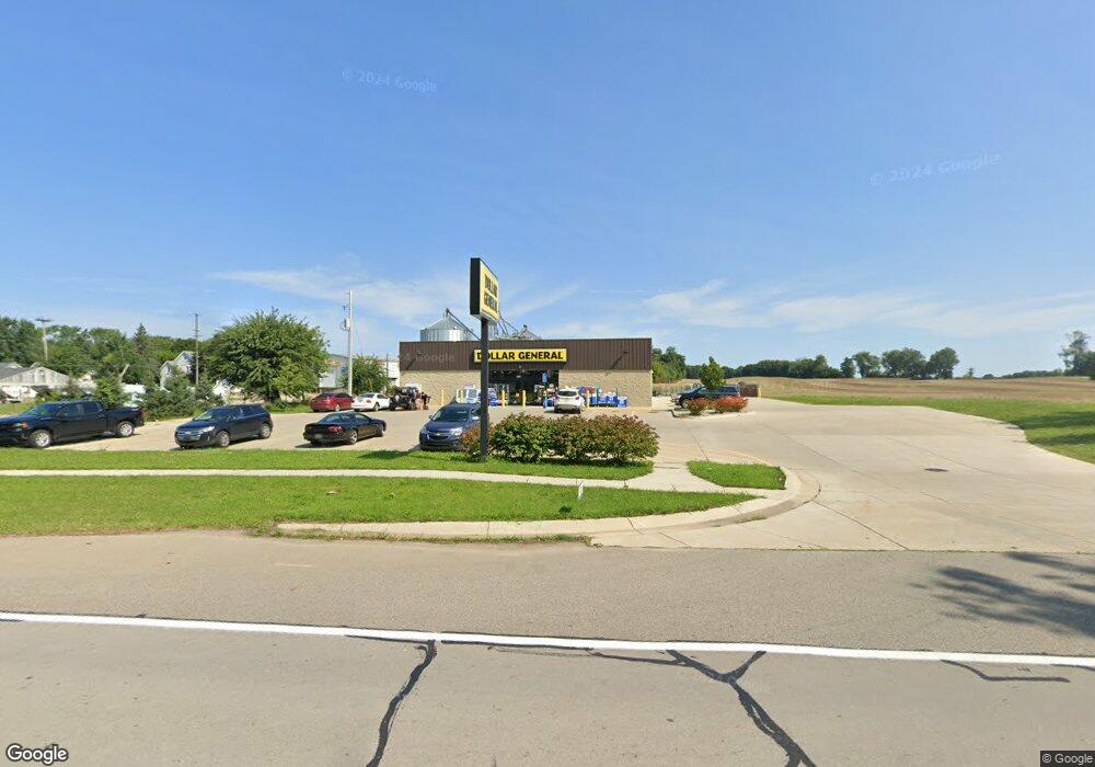
441 E Main St Springport, MI 49284
Studio
--
Bath
9,204
Sq Ft
65,776
Sq Ft Lot
About This Home
This home is located at 441 E Main St, Springport, MI 49284. 441 E Main St is a home located in Jackson County with nearby schools including Springport Elementary School, Springport Middle School, and Springport High School.
Ownership History
Date
Name
Owned For
Owner Type
Purchase Details
Closed on
Sep 23, 2020
Sold by
Mpd Equity Holdings Ii Llc
Bought by
Mdc Coast 16 Llc
Purchase Details
Closed on
May 29, 2019
Sold by
Midwest V Llc
Bought by
Mpd Equity Holdings Ii Llc
Home Financials for this Owner
Home Financials are based on the most recent Mortgage that was taken out on this home.
Original Mortgage
$8,124,000
Interest Rate
4.2%
Mortgage Type
Commercial
Purchase Details
Closed on
Apr 26, 2018
Sold by
Hasenick Judith A
Bought by
Midwest V Llc
Create a Home Valuation Report for This Property
The Home Valuation Report is an in-depth analysis detailing your home's value as well as a comparison with similar homes in the area
Purchase History
| Date | Buyer | Sale Price | Title Company |
|---|---|---|---|
| Mdc Coast 16 Llc | -- | Fidelity National Title | |
| Mpd Equity Holdings Ii Llc | -- | None Available | |
| Midwest V Llc | -- | Transnation Title |
Source: Public Records
Mortgage History
| Date | Status | Borrower | Loan Amount |
|---|---|---|---|
| Previous Owner | Mpd Equity Holdings Ii Llc | $8,124,000 |
Source: Public Records
Tax History
| Year | Tax Paid | Tax Assessment Tax Assessment Total Assessment is a certain percentage of the fair market value that is determined by local assessors to be the total taxable value of land and additions on the property. | Land | Improvement |
|---|---|---|---|---|
| 2025 | $14,209 | $294,800 | $0 | $0 |
| 2024 | $59 | $307,600 | $0 | $0 |
| 2023 | $5,639 | $262,500 | $0 | $0 |
| 2022 | $16,822 | $237,900 | $0 | $0 |
| 2021 | $18,967 | $344,600 | $0 | $0 |
| 2020 | $2,415 | $217,000 | $0 | $0 |
| 2019 | $11,825 | $211,500 | $0 | $0 |
| 2018 | $36 | $5,100 | $0 | $0 |
Source: Public Records
Map
Nearby Homes
- 330 Grand St
- 216 Bayport Cir Unit 10
- 252 Bay Port Cir Unit 19
- 598 E Main St
- 279 York Harbor Unit 34
- 10870 Eaton Rapids Rd
- 16711 Stark Rd
- 29510 S Dr N
- 13025 Pope Church Rd
- 12261 Pope Church Rd
- 19822 27 1 2 Mile Rd
- 9761 Brown Rd
- 6600 Calhoun Rd
- 9733 Blue Heron
- 15394 Devereaux Rd
- 6950 Brown Rd
- 26854 Q-Drive N
- 6947 Brown Rd
- 17751 28 Mile Rd
- 8840 Houston Rd
Your Personal Tour Guide
Ask me questions while you tour the home.