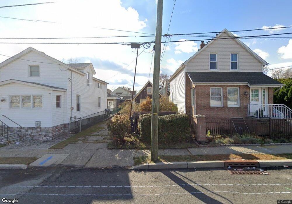
441 Grove St Perth Amboy, NJ 08861
Amboy Avenue NeighborhoodEstimated Value: $258,571 - $352,000
--
Bed
--
Bath
765
Sq Ft
$402/Sq Ft
Est. Value
About This Home
This home is located at 441 Grove St, Perth Amboy, NJ 08861 and is currently estimated at $307,643, approximately $402 per square foot. 441 Grove St is a home located in Middlesex County with nearby schools including Perth Amboy High School, Academy for Urban Leadership Charter School, and Assumption Catholic School.
Create a Home Valuation Report for This Property
The Home Valuation Report is an in-depth analysis detailing your home's value as well as a comparison with similar homes in the area
Home Values in the Area
Average Home Value in this Area
Tax History Compared to Growth
Tax History
| Year | Tax Paid | Tax Assessment Tax Assessment Total Assessment is a certain percentage of the fair market value that is determined by local assessors to be the total taxable value of land and additions on the property. | Land | Improvement |
|---|---|---|---|---|
| 2025 | $3,337 | $110,600 | $67,400 | $43,200 |
| 2024 | $3,330 | $110,600 | $67,400 | $43,200 |
| 2023 | $3,330 | $110,600 | $67,400 | $43,200 |
| 2022 | $3,290 | $110,600 | $67,400 | $43,200 |
| 2021 | $3,295 | $110,600 | $67,400 | $43,200 |
| 2020 | $3,294 | $110,600 | $67,400 | $43,200 |
| 2019 | $3,306 | $110,600 | $67,400 | $43,200 |
| 2018 | $3,277 | $110,600 | $67,400 | $43,200 |
| 2017 | $3,270 | $110,600 | $67,400 | $43,200 |
| 2016 | $3,185 | $110,600 | $67,400 | $43,200 |
| 2015 | $3,207 | $110,600 | $67,400 | $43,200 |
| 2014 | $3,227 | $110,600 | $67,400 | $43,200 |
Source: Public Records
Map
Nearby Homes
- 434 Lawrence St Unit 19
- 381 Keene St
- 360 Alpine St
- 537 Harding Ave
- 752 Donald Ave
- 435 Ashley St
- 514 S Park Dr
- 744 Donald Ave
- 720 Donald Ave
- 547 S Park Dr
- 689 Mary St
- 649 Cornell St
- 676 Johnstone St
- 747 Catherine St
- 646 Johnstone St
- 459 Brace Ave
- 270 Hall Ave
- 693 Hanson Ave
- 773 Colgate Ave
- 485 Compton Ave