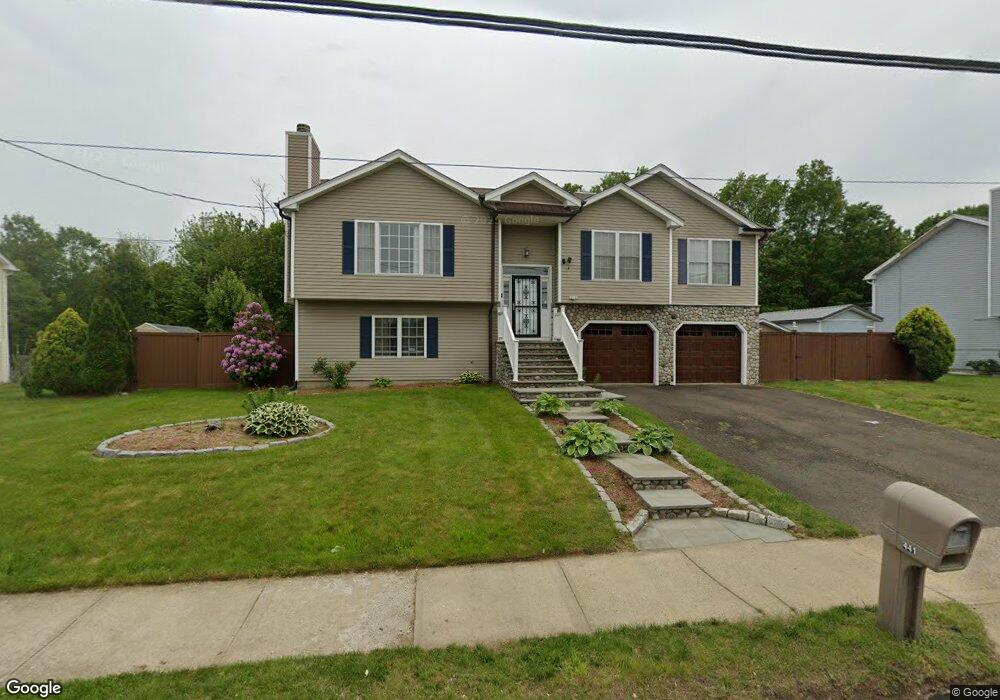
441 Island Ln West Haven, CT 06516
West Shore NeighborhoodEstimated Value: $466,000 - $510,000
3
Beds
2
Baths
1,628
Sq Ft
$295/Sq Ft
Est. Value
About This Home
This home is located at 441 Island Ln, West Haven, CT 06516 and is currently estimated at $480,407, approximately $295 per square foot. 441 Island Ln is a home located in New Haven County with nearby schools including Carrigan 5/6 Intermediate School, Harry M. Bailey Middle School, and West Haven High School.
Ownership History
Date
Name
Owned For
Owner Type
Purchase Details
Closed on
Dec 8, 2011
Sold by
Wells Fargo Bank Na and Carrington Mortgage Lo
Bought by
Ctrrus-Barker Vonetta
Current Estimated Value
Home Financials for this Owner
Home Financials are based on the most recent Mortgage that was taken out on this home.
Original Mortgage
$197,853
Outstanding Balance
$139,040
Interest Rate
4.09%
Mortgage Type
Purchase Money Mortgage
Estimated Equity
$341,367
Purchase Details
Closed on
Sep 12, 2011
Sold by
Natt Lyla
Bought by
Wells Fargo Bank Na
Purchase Details
Closed on
Oct 28, 2002
Sold by
Island Ln Assoc Llc
Bought by
Natt Lyla
Create a Home Valuation Report for This Property
The Home Valuation Report is an in-depth analysis detailing your home's value as well as a comparison with similar homes in the area
Home Values in the Area
Average Home Value in this Area
Purchase History
| Date | Buyer | Sale Price | Title Company |
|---|---|---|---|
| Ctrrus-Barker Vonetta | $203,000 | -- | |
| Wells Fargo Bank Na | -- | -- | |
| Natt Lyla | $267,000 | -- | |
| Ctrrus-Barker Vonetta | $203,000 | -- | |
| Wells Fargo Bank Na | -- | -- | |
| Natt Lyla | $267,000 | -- |
Source: Public Records
Mortgage History
| Date | Status | Borrower | Loan Amount |
|---|---|---|---|
| Open | Natt Lyla | $197,853 | |
| Closed | Natt Lyla | $197,853 | |
| Previous Owner | Natt Lyla | $289,750 |
Source: Public Records
Tax History Compared to Growth
Tax History
| Year | Tax Paid | Tax Assessment Tax Assessment Total Assessment is a certain percentage of the fair market value that is determined by local assessors to be the total taxable value of land and additions on the property. | Land | Improvement |
|---|---|---|---|---|
| 2025 | $9,898 | $301,140 | $85,470 | $215,670 |
| 2024 | $9,552 | $203,840 | $59,220 | $144,620 |
| 2023 | $9,193 | $203,840 | $59,220 | $144,620 |
| 2022 | $9,028 | $203,840 | $59,220 | $144,620 |
| 2021 | $9,028 | $203,840 | $59,220 | $144,620 |
| 2020 | $9,116 | $187,530 | $56,630 | $130,900 |
| 2019 | $8,825 | $187,530 | $56,630 | $130,900 |
| 2018 | $8,700 | $187,530 | $56,630 | $130,900 |
| 2017 | $6,612 | $187,530 | $56,630 | $130,900 |
| 2016 | $6,612 | $187,530 | $56,630 | $130,900 |
| 2015 | $6,764 | $216,440 | $59,710 | $156,730 |
| 2014 | $6,764 | $216,440 | $59,710 | $156,730 |
Source: Public Records
Map
Nearby Homes
- 144 Hilltop Ln
- 489 Morgan Ln
- 80 Phipps Dr
- 109 Parker Ave E
- 798 W Main St
- 26 Woodridge Rd
- 17 Ellyn Ct
- 137 Harding Ave
- 125 Harding Ave
- 37 Wilson Ave
- 26 Meadowbrook Rd
- 79 Linden St
- 99 Roosevelt Ave
- 26 Lawncrest Rd
- 23 Meadowbrook Rd
- 74 Linden St
- 79 Claudia Dr Unit 256
- 79 Claudia Dr Unit 354
- 79 Claudia Dr Unit 358
- 191 Dawson Ave