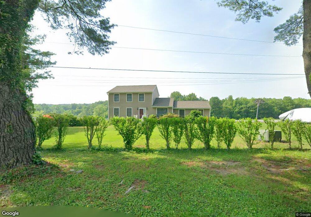
441 Lankford Rd Harwood, MD 20776
Harwood NeighborhoodEstimated Value: $581,397 - $743,000
--
Bed
3
Baths
1,976
Sq Ft
$341/Sq Ft
Est. Value
About This Home
This home is located at 441 Lankford Rd, Harwood, MD 20776 and is currently estimated at $673,849, approximately $341 per square foot. 441 Lankford Rd is a home located in Anne Arundel County with nearby schools including Lothian Elementary School, Southern Middle School, and Southern High School.
Ownership History
Date
Name
Owned For
Owner Type
Purchase Details
Closed on
Jun 29, 1988
Sold by
Thompson David P
Bought by
Barnes Thomas S and Barnes Andrea K
Current Estimated Value
Home Financials for this Owner
Home Financials are based on the most recent Mortgage that was taken out on this home.
Original Mortgage
$206,900
Interest Rate
10.4%
Create a Home Valuation Report for This Property
The Home Valuation Report is an in-depth analysis detailing your home's value as well as a comparison with similar homes in the area
Home Values in the Area
Average Home Value in this Area
Purchase History
| Date | Buyer | Sale Price | Title Company |
|---|---|---|---|
| Barnes Thomas S | $229,900 | -- |
Source: Public Records
Mortgage History
| Date | Status | Borrower | Loan Amount |
|---|---|---|---|
| Closed | Barnes Thomas S | $206,900 |
Source: Public Records
Tax History Compared to Growth
Tax History
| Year | Tax Paid | Tax Assessment Tax Assessment Total Assessment is a certain percentage of the fair market value that is determined by local assessors to be the total taxable value of land and additions on the property. | Land | Improvement |
|---|---|---|---|---|
| 2025 | $4,513 | $450,433 | -- | -- |
| 2024 | $4,513 | $436,867 | $0 | $0 |
| 2023 | $4,388 | $423,300 | $158,300 | $265,000 |
| 2022 | $4,109 | $412,233 | $0 | $0 |
| 2021 | $3,925 | $401,167 | $0 | $0 |
| 2020 | $3,925 | $390,100 | $140,800 | $249,300 |
| 2019 | $3,871 | $390,100 | $140,800 | $249,300 |
| 2018 | $3,956 | $390,100 | $140,800 | $249,300 |
| 2017 | $2,105 | $414,400 | $0 | $0 |
| 2016 | -- | $414,300 | $0 | $0 |
| 2015 | -- | $414,200 | $0 | $0 |
| 2014 | -- | $414,100 | $0 | $0 |
Source: Public Records
Map
Nearby Homes
- 812 Richardson Dr
- 4485 Old Solomons Island Rd
- 4320 Solomons Island Rd
- 4440 Claybrooke Dr
- 21 Treiber Ln
- 204 Three Rivers Rd
- 17436 Claggett Landing Rd
- 201 Biggs Purchase Ln
- 17905 Queen Anne Rd
- 3451 Blandford Way
- 1527 Patuxent Manor Rd
- 3501 Foxhall Dr
- 1008 W Central Ave
- 873 Benjamin Branch
- 1544 Manor View Rd
- 3410 Blandford Way
- 635 Teton Ct
- 3508 Marthas Vineyard Way
- 3509 Russell Thomas Ln
- 18106 B Central Ave
- 445 Lankford Rd
- 437 Lankford Rd
- 431 Lankford Rd
- 456 Lankford Rd
- 452 Lankford Rd
- 427 Lankford Rd
- 4299 Hawthorne Farm Rd
- 423 Lankford Rd
- 512 Lankford Rd
- 426 Lankford Rd
- 419 Lankford Rd
- 4299 Hawthorne Ridge Farm Rd
- 4295 Hawthorne Ridge Farm Rd
- 4291 Hawthorne Ridge Farm Rd
- 4432 Windsor Farm Rd
- 414 Lankford Rd
- 4278 Hawthorne Farm Rd
- 4428 Windsor Farm Rd
- 4440 Windsor Farm Rd
- 530 Mitchell Rd