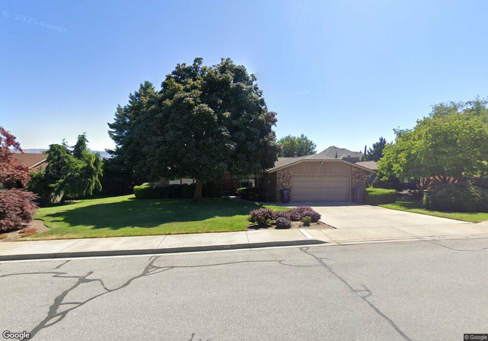
441 Lowe St Wenatchee, WA 98801
Estimated Value: $597,000 - $636,000
4
Beds
2
Baths
2,422
Sq Ft
$252/Sq Ft
Est. Value
About This Home
This home is located at 441 Lowe St, Wenatchee, WA 98801 and is currently estimated at $610,476, approximately $252 per square foot. 441 Lowe St is a home located in Chelan County with nearby schools including Washington Elementary School, Orchard Middle School, and Wenatchee High School.
Ownership History
Date
Name
Owned For
Owner Type
Purchase Details
Closed on
Sep 12, 2006
Sold by
Craven Richard T and Craven Greta G
Bought by
Diede John W and Diede Ann E
Current Estimated Value
Home Financials for this Owner
Home Financials are based on the most recent Mortgage that was taken out on this home.
Original Mortgage
$231,265
Outstanding Balance
$138,049
Interest Rate
6.56%
Mortgage Type
Purchase Money Mortgage
Estimated Equity
$472,427
Create a Home Valuation Report for This Property
The Home Valuation Report is an in-depth analysis detailing your home's value as well as a comparison with similar homes in the area
Purchase History
| Date | Buyer | Sale Price | Title Company |
|---|---|---|---|
| Diede John W | $336,000 | Central Washington Title |
Source: Public Records
Mortgage History
| Date | Status | Borrower | Loan Amount |
|---|---|---|---|
| Open | Diede John W | $231,265 |
Source: Public Records
Tax History
| Year | Tax Paid | Tax Assessment Tax Assessment Total Assessment is a certain percentage of the fair market value that is determined by local assessors to be the total taxable value of land and additions on the property. | Land | Improvement |
|---|---|---|---|---|
| 2025 | $4,086 | $587,273 | $128,000 | $459,273 |
| 2024 | $4,439 | $481,185 | $121,000 | $360,185 |
| 2023 | $4,439 | $527,676 | $77,400 | $450,276 |
| 2022 | $4,503 | $508,321 | $77,400 | $430,921 |
| 2021 | $4,155 | $374,029 | $60,000 | $314,029 |
| 2020 | $3,889 | $396,251 | $60,000 | $336,251 |
| 2019 | $3,495 | $376,699 | $60,000 | $316,699 |
| 2018 | $4,194 | $357,550 | $60,000 | $297,550 |
| 2017 | $3,777 | $351,441 | $64,200 | $287,241 |
| 2016 | $3,328 | $344,029 | $60,000 | $284,029 |
| 2015 | $3,328 | $312,149 | $60,000 | $252,149 |
| 2013 | $3,328 | $282,096 | $60,000 | $222,096 |
Source: Public Records
Map
Nearby Homes
- 1535 Castlerock Ave Unit 55
- 1535 Castlerock Ave Unit 10
- 1535 Castlerock Ave Unit 26
- 300 S Elliott Ave Unit 29
- 625 Lambert St
- 340 Brandi Ln
- 708 Cherry Ct
- 1310 Castlerock Ave Unit 9
- 1261 & 1263 Montana St
- 0 Millerdale Heights Unit NWM2447188
- 9 Elliott Ave N
- 1 NNA Skyline Dr
- 1900 Cumbo Ct
- 1530 Skyline Dr
- 1117 Appleland Dr
- 1818 Skyline Dr Unit 23
- 1818 Skyline Dr Unit 21
- 941 Idaho St
- 1100 Vista Place Unit B
- 32 Furney St
Your Personal Tour Guide
Ask me questions while you tour the home.