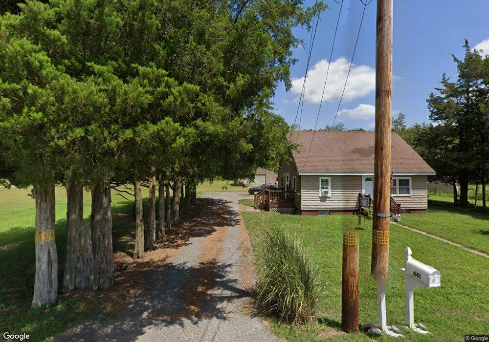
441 Lummistown Rd Cedarville, NJ 08311
Lawrence Township NeighborhoodEstimated Value: $152,000 - $335,000
--
Bed
--
Bath
966
Sq Ft
$218/Sq Ft
Est. Value
About This Home
This home is located at 441 Lummistown Rd, Cedarville, NJ 08311 and is currently estimated at $210,565, approximately $217 per square foot. 441 Lummistown Rd is a home located in Cumberland County.
Ownership History
Date
Name
Owned For
Owner Type
Purchase Details
Closed on
Jun 30, 2005
Sold by
Grace Harry S
Bought by
Garrison E Stanley and Garrison Glenda
Current Estimated Value
Purchase Details
Closed on
Apr 17, 1996
Sold by
Grace Harry S
Bought by
Grace Harry S and Grace Alissa M
Home Financials for this Owner
Home Financials are based on the most recent Mortgage that was taken out on this home.
Original Mortgage
$63,000
Interest Rate
7.34%
Create a Home Valuation Report for This Property
The Home Valuation Report is an in-depth analysis detailing your home's value as well as a comparison with similar homes in the area
Home Values in the Area
Average Home Value in this Area
Purchase History
| Date | Buyer | Sale Price | Title Company |
|---|---|---|---|
| Garrison E Stanley | $74,000 | -- | |
| Grace Harry S | $63,000 | -- |
Source: Public Records
Mortgage History
| Date | Status | Borrower | Loan Amount |
|---|---|---|---|
| Previous Owner | Grace Harry S | $63,000 |
Source: Public Records
Tax History Compared to Growth
Tax History
| Year | Tax Paid | Tax Assessment Tax Assessment Total Assessment is a certain percentage of the fair market value that is determined by local assessors to be the total taxable value of land and additions on the property. | Land | Improvement |
|---|---|---|---|---|
| 2025 | $3,704 | $127,400 | $55,100 | $72,300 |
| 2024 | $3,704 | $127,400 | $55,100 | $72,300 |
| 2023 | $3,695 | $127,400 | $55,100 | $72,300 |
| 2022 | $3,744 | $127,400 | $55,100 | $72,300 |
| 2021 | $3,675 | $127,400 | $55,100 | $72,300 |
| 2020 | $3,675 | $127,400 | $55,100 | $72,300 |
| 2019 | $3,586 | $127,400 | $55,100 | $72,300 |
| 2018 | $3,435 | $127,400 | $55,100 | $72,300 |
| 2017 | $3,265 | $127,400 | $55,100 | $72,300 |
| 2016 | $3,119 | $127,400 | $55,100 | $72,300 |
| 2015 | $3,019 | $127,400 | $55,100 | $72,300 |
| 2014 | $2,895 | $127,400 | $55,100 | $72,300 |
Source: Public Records
Map
Nearby Homes
- 485 Lummistown Rd
- 136 North Ave
- L19 Schafer Ave
- 186 Schaffer Ave
- 0 E Forn Unit NJCB2022908
- 0 Sawn Unit NJCB2022894
- 0 Nark-Lawn Ave Unit NJCB2022900
- 0 Nark-Lawn Ave Unit NJCB2022902
- 0 Nark-Lawn Ave Unit NJCB2022898
- 0 W Forn Unit NJCB2022892
- 107 Main St
- 0 Forn Unit NJCB2022896
- 0 Lawn Ave Unit NJCB2022888
- 0 Lawn Ave Unit NJCB2022906
- 2 Sheppard Davis Rd
- 450 Clarks Pond Rd Unit 36
- 450 Clarks Pond Rd Unit 58
- 0 Hall-Trent Unit NJCB2025778
- 245 Fairton Cedarville Rd
- 0 W Pern Ave Unit NJCB2025914
- 433 Lummistown Rd
- 432 Lummistown Rd
- 438 Lummistown Rd
- 426 Lummistown Rd
- 427 Lummistown Rd
- 420 Lummistown Rd
- 416 Lummistown Rd
- 840 Lummistown Rd
- 208 North Ave
- 413 Lummistown Rd
- L19 Lummistown Rd
- 203 North Ave
- 202 North Ave
- 466 Lummistown Rd
- 193 North Ave
- 189 North Ave
- 399 Lummistown Rd
- 478 Lummistown Rd
- 190 North Ave
- 477 Lummistown Rd