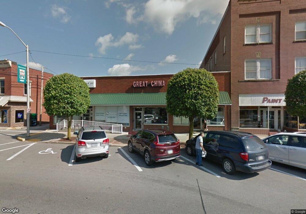
441 Main St Unit 455 Brockway, PA 15824
Estimated Value: $158,000 - $193,000
--
Bed
--
Bath
6,300
Sq Ft
$28/Sq Ft
Est. Value
About This Home
This home is located at 441 Main St Unit 455, Brockway, PA 15824 and is currently estimated at $176,667, approximately $28 per square foot. 441 Main St Unit 455 is a home located in Jefferson County with nearby schools including Brockway Area Elementary School, Brockway Area Junior/Senior High School, and Hillside School.
Ownership History
Date
Name
Owned For
Owner Type
Purchase Details
Closed on
Aug 16, 2011
Sold by
Allenbaugh Donald W and Allenbaugh Renee M
Bought by
Djha Llp
Current Estimated Value
Purchase Details
Closed on
May 17, 2007
Sold by
Bray Geraldine and Digilarmo Marjorie Michelle
Bought by
Allenbaugh Donald W and Allenbaugh Renne M
Home Financials for this Owner
Home Financials are based on the most recent Mortgage that was taken out on this home.
Original Mortgage
$100,000
Interest Rate
6.19%
Mortgage Type
Purchase Money Mortgage
Create a Home Valuation Report for This Property
The Home Valuation Report is an in-depth analysis detailing your home's value as well as a comparison with similar homes in the area
Home Values in the Area
Average Home Value in this Area
Purchase History
| Date | Buyer | Sale Price | Title Company |
|---|---|---|---|
| Djha Llp | $100,000 | None Available | |
| Allenbaugh Donald W | $100,000 | None Available |
Source: Public Records
Mortgage History
| Date | Status | Borrower | Loan Amount |
|---|---|---|---|
| Previous Owner | Allenbaugh Donald W | $100,000 |
Source: Public Records
Tax History Compared to Growth
Tax History
| Year | Tax Paid | Tax Assessment Tax Assessment Total Assessment is a certain percentage of the fair market value that is determined by local assessors to be the total taxable value of land and additions on the property. | Land | Improvement |
|---|---|---|---|---|
| 2025 | $3,948 | $83,370 | $20,770 | $62,600 |
| 2024 | $4,505 | $83,370 | $20,770 | $62,600 |
| 2023 | $3,865 | $83,370 | $20,770 | $62,600 |
| 2022 | $3,865 | $83,370 | $20,770 | $62,600 |
| 2021 | $3,865 | $83,370 | $20,770 | $62,600 |
| 2020 | $3,865 | $83,370 | $20,770 | $62,600 |
| 2019 | $3,728 | $83,370 | $20,770 | $62,600 |
| 2018 | $3,566 | $83,370 | $20,770 | $62,600 |
| 2017 | $3,520 | $83,370 | $20,770 | $62,600 |
| 2016 | $3,178 | $83,370 | $20,770 | $62,600 |
| 2015 | -- | $83,370 | $20,770 | $62,600 |
| 2012 | -- | $83,370 | $20,770 | $62,600 |
Source: Public Records
Map
Nearby Homes
- 1074 10th Ave
- 1549 Main St
- 924 Elm St
- 0 U S 219
- 970 Baghdad Rd
- 19 Salandra Ln
- 7956 U S 219
- 425 Zuccolotto Ln
- 1083 Rattlesnake Rd
- 101 Howard Rd
- 5850 U S 219
- 5546 Stevenson Hill Rd
- 0 Coal Glen Rd
- 390 Galliot Ct
- 636 Cap Haitien Rd
- 0 Cap Haitien Rd Unit SEC 17 LOT 14
- 3585 Shawmut Rd
- 13 Cap Haitien Rd
- Section 14 Lot 24 Port-Au-prince Rd
- 14 Port-Au-prince Rd
- 418 Main St
- 426 Main St
- 424 Alexander St Unit 430
- 410 Main St
- 525 Main St Unit 527
- 0 Alexander H Lindsay Memorial Hwy
- 949 5th Ave
- 348 Main St
- 333 Main St Unit 335
- 933 5th Ave
- 940 4th Ave
- 332 Main St
- 1109 Pershing Ave
- 932 4th Ave
- 949 4th Ave
- 927 5th Ave
- 325 Main St
- 917 5th Ave
- 349 Alexander St
- 1111 Pershing Ave