Estimated Value: $260,000 - $301,858
Studio
--
Bath
--
Sq Ft
0.89
Acres
About This Home
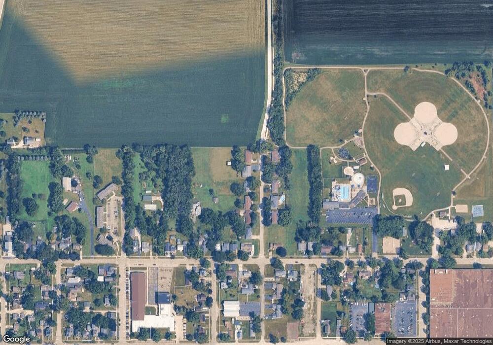
This home is located at 441 N Locust St, Genoa, IL 60135 and is currently estimated at $287,215. 441 N Locust St is a home located in DeKalb County with nearby schools including Kingston Elementary School, Genoa Elementary School, and Genoa-Kingston Middle School.
Ownership History
Date
Name
Owned For
Owner Type
Purchase Details
Closed on
Feb 15, 2022
Sold by
Ullmark Jamie E
Bought by
Jamie E Ullmark Declaration Of Trust
Current Estimated Value
Purchase Details
Closed on
Apr 24, 2009
Sold by
Wylde Daniel L
Bought by
Ullmark Jamie E
Purchase Details
Closed on
Apr 3, 2009
Sold by
Wylde Daniel L
Bought by
Ullmark Jamie E
Purchase Details
Closed on
Oct 28, 2005
Sold by
Wylde Jamie
Bought by
Wylde Jamie
Home Financials for this Owner
Home Financials are based on the most recent Mortgage that was taken out on this home.
Original Mortgage
$113,000
Interest Rate
6.37%
Mortgage Type
New Conventional
Create a Home Valuation Report for This Property
The Home Valuation Report is an in-depth analysis detailing your home's value as well as a comparison with similar homes in the area
Home Values in the Area
Average Home Value in this Area
Purchase History
| Date | Buyer | Sale Price | Title Company |
|---|---|---|---|
| Jamie E Ullmark Declaration Of Trust | -- | None Listed On Document | |
| Ullmark Jamie E | -- | -- | |
| Ullmark Jamie E | -- | -- | |
| Ullmark Jamie E | -- | -- | |
| Ullmark Jamie E | -- | -- | |
| Wylde Jamie | -- | -- |
Source: Public Records
Mortgage History
| Date | Status | Borrower | Loan Amount |
|---|---|---|---|
| Previous Owner | Wylde Jamie | $113,000 |
Source: Public Records
Tax History
| Year | Tax Paid | Tax Assessment Tax Assessment Total Assessment is a certain percentage of the fair market value that is determined by local assessors to be the total taxable value of land and additions on the property. | Land | Improvement |
|---|---|---|---|---|
| 2024 | $7,763 | $94,467 | $14,375 | $80,092 |
| 2023 | $7,763 | $87,860 | $13,370 | $74,490 |
| 2022 | $6,874 | $75,575 | $12,930 | $62,645 |
| 2021 | $6,468 | $71,506 | $12,234 | $59,272 |
| 2020 | $6,184 | $67,617 | $12,106 | $55,511 |
| 2019 | $5,967 | $63,640 | $11,394 | $52,246 |
| 2018 | $5,773 | $60,754 | $10,877 | $49,877 |
| 2017 | $5,634 | $58,367 | $10,450 | $47,917 |
| 2016 | $5,685 | $58,233 | $10,426 | $47,807 |
Source: Public Records
Map
Nearby Homes
- 120 Monroe St
- 105 S Sycamore St
- 111 S Sycamore St
- 138 N Brown St
- 128 N Hadsall St
- 4.00 acres Illinois 23
- 126 Prairie St
- 14025 Il Route 72
- Lot 15 Pearson Dr
- Lot 14 Pearson Dr
- 00 Sycamore Rd
- 408 Stearn Dr Unit 408
- 411 Stearn Dr Unit 411
- Lot 48 S Pine Cir
- 0000 Walnut St
- 437 Stearn Dr Unit 437
- 408 Winding Trail
- 220 Stearn Dr
- LOT 45 W Pine Cir
- 508 Winding Trail
