Estimated Value: $701,000 - $732,000
3
Beds
3
Baths
2,566
Sq Ft
$281/Sq Ft
Est. Value
About This Home
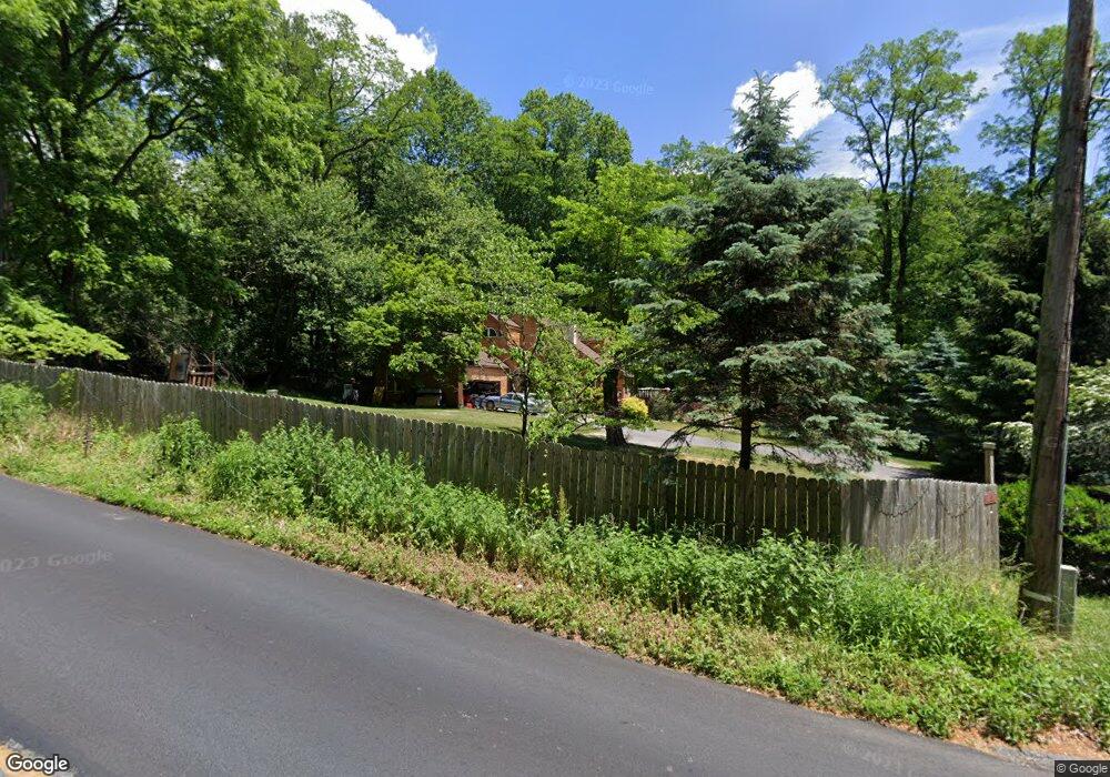
This home is located at 441 N Whitford Rd, Exton, PA 19341 and is currently estimated at $720,238, approximately $280 per square foot. 441 N Whitford Rd is a home located in Chester County with nearby schools including Mary C Howse Elementary School, E.N. Peirce Middle School, and Henderson High School.
Ownership History
Date
Name
Owned For
Owner Type
Purchase Details
Closed on
Oct 25, 1996
Sold by
Graham Timothy T and Robey Charles D
Bought by
Knapp James A and Knapp Jodi F
Current Estimated Value
Home Financials for this Owner
Home Financials are based on the most recent Mortgage that was taken out on this home.
Original Mortgage
$186,000
Interest Rate
8.07%
Create a Home Valuation Report for This Property
The Home Valuation Report is an in-depth analysis detailing your home's value as well as a comparison with similar homes in the area
Home Values in the Area
Average Home Value in this Area
Purchase History
| Date | Buyer | Sale Price | Title Company |
|---|---|---|---|
| Knapp James A | $236,000 | -- |
Source: Public Records
Mortgage History
| Date | Status | Borrower | Loan Amount |
|---|---|---|---|
| Previous Owner | Knapp James A | $186,000 |
Source: Public Records
Tax History Compared to Growth
Tax History
| Year | Tax Paid | Tax Assessment Tax Assessment Total Assessment is a certain percentage of the fair market value that is determined by local assessors to be the total taxable value of land and additions on the property. | Land | Improvement |
|---|---|---|---|---|
| 2025 | $6,608 | $227,960 | $39,220 | $188,740 |
| 2024 | $6,608 | $227,960 | $39,220 | $188,740 |
| 2023 | $6,315 | $227,960 | $39,220 | $188,740 |
| 2022 | $6,229 | $227,960 | $39,220 | $188,740 |
| 2021 | $6,138 | $227,960 | $39,220 | $188,740 |
| 2020 | $6,097 | $227,960 | $39,220 | $188,740 |
| 2019 | $6,009 | $227,960 | $39,220 | $188,740 |
| 2018 | $5,875 | $227,960 | $39,220 | $188,740 |
| 2017 | $5,741 | $227,960 | $39,220 | $188,740 |
| 2016 | $4,950 | $227,960 | $39,220 | $188,740 |
| 2015 | $4,950 | $227,960 | $39,220 | $188,740 |
| 2014 | $4,950 | $227,960 | $39,220 | $188,740 |
Source: Public Records
Map
Nearby Homes
- 510 Woodview Dr
- 324 Conner Dr
- 491 Orchard Cir
- 315 Oak Ln W
- 208 Morris Rd
- 109 Glendale Rd
- 420 Oakland Dr
- 534 Pewter Dr
- 577 Pewter Dr
- 100 Brookhollow Dr
- 17 Buttonwood Dr Unit 17
- 464 E Radnor Ct
- 30 S Village Ave
- 701 Worthington Dr Unit 701
- 204 Mill Pond Dr
- Santorini Plan at Worthington Farm - Luxury Single-Family Homes
- Monaco Plan at Worthington Farm - Luxury Single-Family Homes
- Lisbon Plan at Worthington Farm - Luxury Single-Family Homes
- 218 Hendricks Ave
- 524 Sherbrook Dr
- 501 N Whitford Rd
- 439 N Whitford Rd
- 437 N Whitford Rd
- 487 Heather Hill
- 402 Longwood Dr
- 488 Heather Hill
- 435 N Whitford Rd
- 404 Longwood Dr
- 400 Longwood Dr
- 345 Wrights Ln
- 341 Wrights Ln
- 415 Howell Rd
- 406 Longwood Dr
- 413 Howell Rd
- 349 Wrights Ln
- 305 Whitford Hills Rd
- 505 N Whitford Rd
- 401 Longwood Dr
- 408 Howell Rd
- 490 Heather Hill