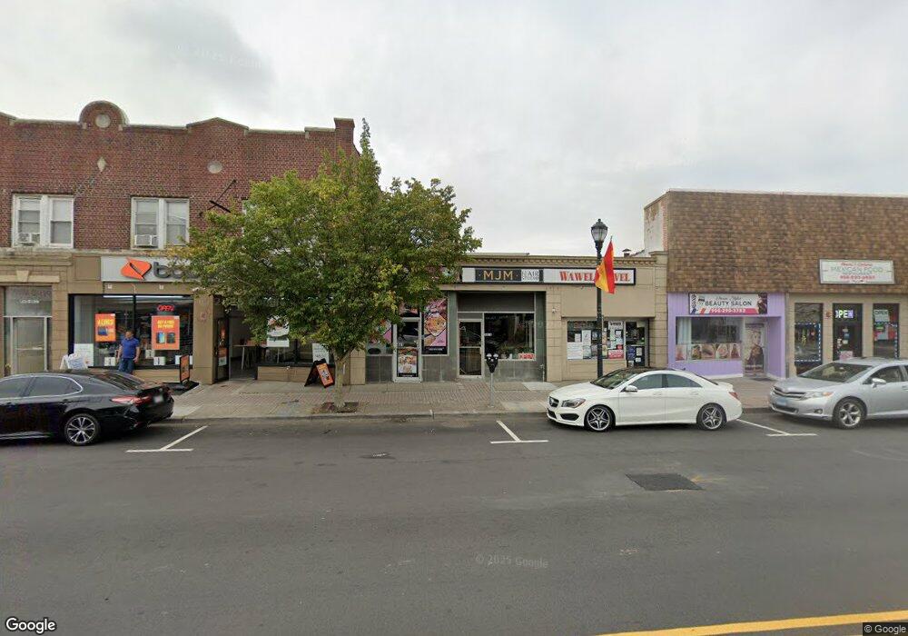
441 N Wood Ave Unit 1 Linden, NJ 07036
Estimated Value: $685,901
--
Bed
--
Bath
2,479
Sq Ft
$277/Sq Ft
Est. Value
About This Home
This home is located at 441 N Wood Ave Unit 1, Linden, NJ 07036 and is currently estimated at $685,901, approximately $276 per square foot. 441 N Wood Ave Unit 1 is a home located in Union County with nearby schools including School No. 8, Myles J. McManus Middle School, and Linden High School.
Ownership History
Date
Name
Owned For
Owner Type
Purchase Details
Closed on
Jun 7, 2018
Sold by
Palermo Bros Inc
Bought by
Ans Properties Llc
Current Estimated Value
Home Financials for this Owner
Home Financials are based on the most recent Mortgage that was taken out on this home.
Original Mortgage
$213,850
Outstanding Balance
$184,944
Interest Rate
4.5%
Mortgage Type
Commercial
Estimated Equity
$500,464
Purchase Details
Closed on
Mar 20, 1998
Sold by
Palermo Bros Inc
Bought by
Palermo Bros Inc
Create a Home Valuation Report for This Property
The Home Valuation Report is an in-depth analysis detailing your home's value as well as a comparison with similar homes in the area
Home Values in the Area
Average Home Value in this Area
Purchase History
| Date | Buyer | Sale Price | Title Company |
|---|---|---|---|
| Ans Properties Llc | $329,000 | Fidelity National Title Ins | |
| Siegal Larry | -- | None Available | |
| Palermo Brothers Inc | -- | None Available | |
| Palermo Bros Inc | -- | -- |
Source: Public Records
Mortgage History
| Date | Status | Borrower | Loan Amount |
|---|---|---|---|
| Open | Siegal Larry | $213,850 | |
| Closed | Ans Properties Llc | $213,850 |
Source: Public Records
Tax History Compared to Growth
Tax History
| Year | Tax Paid | Tax Assessment Tax Assessment Total Assessment is a certain percentage of the fair market value that is determined by local assessors to be the total taxable value of land and additions on the property. | Land | Improvement |
|---|---|---|---|---|
| 2025 | $11,968 | $170,200 | $107,800 | $62,400 |
| 2024 | $11,706 | $170,200 | $107,800 | $62,400 |
| 2023 | $11,706 | $170,200 | $107,800 | $62,400 |
| 2022 | $11,768 | $170,200 | $107,800 | $62,400 |
| 2021 | $11,827 | $170,200 | $107,800 | $62,400 |
| 2020 | $11,764 | $170,200 | $107,800 | $62,400 |
| 2019 | $11,725 | $170,200 | $107,800 | $62,400 |
| 2018 | $14,368 | $194,500 | $112,100 | $82,400 |
| 2017 | $14,080 | $194,500 | $112,100 | $82,400 |
| 2016 | $13,666 | $194,500 | $112,100 | $82,400 |
| 2015 | $13,181 | $194,500 | $112,100 | $82,400 |
| 2014 | $12,460 | $194,500 | $112,100 | $82,400 |
Source: Public Records
Map
Nearby Homes
- 30 E Henry St
- 428 Brook St
- 201 Hussa St
- 435 Miner Terrace
- 721 N Wood Ave
- 725 N Wood Ave
- 28 W Elizabeth Ave Unit A3
- 505 Knopf St
- 307 Hussa St
- 813 N Wood Ave
- 10 N Wood Ave Unit 706
- 10 N Wood Ave Unit 312
- 10 N Wood Ave Unit 700
- 10 N Wood Ave Unit 214
- 10 N Wood Ave Unit 323
- 106 W Gibbons St
- 419 Lafayette St
- 606 Knopf St
- 600 W Henry St
- 633 Maple Ave