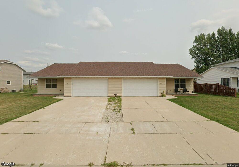
441 Prairie Way Unit 443 Wrightstown, WI 54180
Estimated Value: $319,408 - $387,000
Studio
--
Bath
--
Sq Ft
12,502
Sq Ft Lot
About This Home
This home is located at 441 Prairie Way Unit 443, Wrightstown, WI 54180 and is currently estimated at $355,852. 441 Prairie Way Unit 443 is a home located in Brown County with nearby schools including Wrightstown Elementary School, Wrightstown Middle School, and Wrightstown High School.
Ownership History
Date
Name
Owned For
Owner Type
Purchase Details
Closed on
Jul 24, 2005
Sold by
Albers Peter J and Albers Mary C
Bought by
Roehrborn Neil A
Current Estimated Value
Home Financials for this Owner
Home Financials are based on the most recent Mortgage that was taken out on this home.
Original Mortgage
$147,920
Outstanding Balance
$74,988
Interest Rate
5.71%
Mortgage Type
Fannie Mae Freddie Mac
Estimated Equity
$280,864
Create a Home Valuation Report for This Property
The Home Valuation Report is an in-depth analysis detailing your home's value as well as a comparison with similar homes in the area
Home Values in the Area
Average Home Value in this Area
Purchase History
| Date | Buyer | Sale Price | Title Company |
|---|---|---|---|
| Roehrborn Neil A | $184,900 | Bay Title |
Source: Public Records
Mortgage History
| Date | Status | Borrower | Loan Amount |
|---|---|---|---|
| Open | Roehrborn Neil A | $147,920 |
Source: Public Records
Tax History
| Year | Tax Paid | Tax Assessment Tax Assessment Total Assessment is a certain percentage of the fair market value that is determined by local assessors to be the total taxable value of land and additions on the property. | Land | Improvement |
|---|---|---|---|---|
| 2025 | $4,245 | $258,300 | $41,300 | $217,000 |
| 2024 | $3,742 | $258,300 | $41,300 | $217,000 |
| 2023 | $4,094 | $258,300 | $41,300 | $217,000 |
| 2022 | $4,404 | $180,500 | $31,000 | $149,500 |
| 2021 | $4,254 | $180,500 | $31,000 | $149,500 |
| 2020 | $4,100 | $180,500 | $31,000 | $149,500 |
| 2019 | $3,882 | $180,500 | $31,000 | $149,500 |
| 2018 | $3,623 | $180,500 | $31,000 | $149,500 |
| 2017 | $3,697 | $176,900 | $25,500 | $151,400 |
| 2016 | $3,866 | $176,900 | $25,500 | $151,400 |
| 2015 | $3,882 | $176,900 | $25,500 | $151,400 |
| 2014 | $3,792 | $176,900 | $25,500 | $151,400 |
| 2013 | $3,792 | $176,900 | $25,500 | $151,400 |
Source: Public Records
Map
Nearby Homes
- 544 Nicole Ln
- 548 Nicole Ln
- 309 Louise Dr
- 30 Golden Wheat Ln
- 361 Main St
- 735 Park St
- 119 Main St
- 4207 Lost Dauphin Rd
- 4079 Lost Dauphin Rd
- 0 State 96 Unit 50322901
- 3943 Jordan William Way
- 3979 Lost Dauphin Rd
- 113 Beckerae Ct
- 248 Kerrigan Dr
- 278 Kerrigan Dr
- 269 Kerrigan Dr
- 308 Kerrigan Dr
- 3829 Lost Dauphin Rd
- 263 Kerrigan Dr
- 302 Kerrigan Dr
- 437 Prairie Way
- 435 Prairie Way
- 447 Prairie Way Unit 2
- 445 Prairie Way Unit 1
- 438 Patricia Ln
- 436 Patricia Ln
- 440 Patricia Ln Unit 442
- 442 Prairie Way
- 432 Patricia Ln Unit 434
- 438 Prairie Way Unit 2
- 436 Prairie Way Unit 1
- 325 Meadow Ln
- 444 Patricia Ln
- 431 Prairie Way
- 429 Prairie Way
- 434 Prairie Way
- 428 Patricia Ln Unit 430
- 515 Meadow Ln Unit 517
- 430 Prairie Way
- 310 Meadow Ln
Your Personal Tour Guide
Ask me questions while you tour the home.