441 Sandy Branch Rd Bakersville, NC 28705
Estimated Value: $371,000 - $516,014
4
Beds
2
Baths
2,716
Sq Ft
$163/Sq Ft
Est. Value
About This Home
This home is located at 441 Sandy Branch Rd, Bakersville, NC 28705 and is currently estimated at $443,507, approximately $163 per square foot. 441 Sandy Branch Rd is a home located in Mitchell County with nearby schools including Gouge Elementary School, Bowman Middle School, and Mitchell High School.
Ownership History
Date
Name
Owned For
Owner Type
Purchase Details
Closed on
Apr 29, 2024
Sold by
Claque Elizabeth H and Clague Elizabeth H
Bought by
Silver S Kegan
Current Estimated Value
Home Financials for this Owner
Home Financials are based on the most recent Mortgage that was taken out on this home.
Original Mortgage
$37,500
Outstanding Balance
$33,832
Interest Rate
6.74%
Mortgage Type
New Conventional
Estimated Equity
$409,675
Purchase Details
Closed on
Apr 24, 2024
Sold by
Rogers Robert W
Bought by
Clague Elizabeth H
Home Financials for this Owner
Home Financials are based on the most recent Mortgage that was taken out on this home.
Original Mortgage
$37,500
Outstanding Balance
$33,832
Interest Rate
6.74%
Mortgage Type
New Conventional
Estimated Equity
$409,675
Create a Home Valuation Report for This Property
The Home Valuation Report is an in-depth analysis detailing your home's value as well as a comparison with similar homes in the area
Home Values in the Area
Average Home Value in this Area
Purchase History
| Date | Buyer | Sale Price | Title Company |
|---|---|---|---|
| Silver S Kegan | $36,000 | None Listed On Document | |
| Mize James S | $50,000 | None Listed On Document | |
| Clague Elizabeth H | -- | None Listed On Document |
Source: Public Records
Mortgage History
| Date | Status | Borrower | Loan Amount |
|---|---|---|---|
| Open | Mize James S | $37,500 | |
| Closed | Silver S Kegan | $30,000 |
Source: Public Records
Tax History Compared to Growth
Tax History
| Year | Tax Paid | Tax Assessment Tax Assessment Total Assessment is a certain percentage of the fair market value that is determined by local assessors to be the total taxable value of land and additions on the property. | Land | Improvement |
|---|---|---|---|---|
| 2025 | $2,294 | $358,400 | $88,200 | $270,200 |
| 2024 | $2,584 | $410,100 | $139,900 | $270,200 |
| 2023 | $2,683 | $425,800 | $139,900 | $285,900 |
| 2022 | $2,683 | $425,800 | $139,900 | $285,900 |
| 2021 | $1,957 | $301,100 | $115,400 | $185,700 |
| 2020 | $1,957 | $301,100 | $115,400 | $185,700 |
| 2019 | $1,957 | $301,100 | $115,400 | $185,700 |
| 2018 | $1,961 | $301,100 | $115,400 | $185,700 |
| 2017 | $2,358 | $362,100 | $115,400 | $246,700 |
| 2016 | $2,097 | $349,000 | $102,300 | $246,700 |
| 2015 | $1,972 | $349,000 | $102,300 | $246,700 |
| 2014 | $1,972 | $349,000 | $102,300 | $246,700 |
Source: Public Records
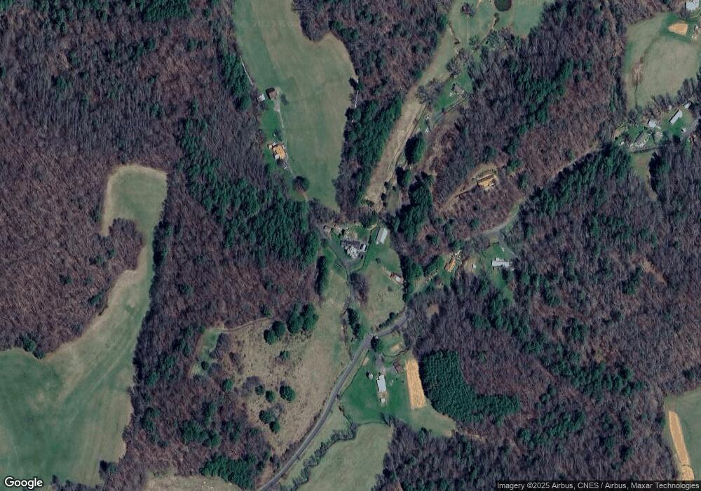
Map
Nearby Homes
- 80 Ferguson Ln
- 193 Green Cove Rd
- 1294 Cane Creek Rd
- 493 Spring Hill Rd
- 244 Mcmahon Ln
- 407 Terrell Dr
- 00 Apple Farm Rd
- 49 Loggy Hollow Rd
- 987 White Oak Rd
- 38 Buchanan Hill Rd
- 418 N Mitchell Ave
- 14842 N 226 Hwy
- 92 Buchanan Dr
- 164 N Mitchell Ave
- 1590 N Carolina 226
- 0 Saylor Lake Rd
- 607 Fred Sparks Rd
- 575 Croft Way
- 45 Atlantic Tower Rd
- 456 Duck Branch Rd
- 1044 Sandy Branch Rd
- 439 Sandy Branch Rd
- 436 Sandy Branch Rd
- 586 Sandy Branch Rd
- 564 Sandy Branch Rd
- 501 Sandy Branch Rd
- 238 Sandy Branch Rd
- 268 Sandy Branch Rd
- 2571 Cane Creek Rd
- 2571 Cane Creek Rd
- 2895 Cane Creek Rd
- 303 Young Cove Rd
- 68 Green Young Cemetary Rd
- 2475 Cane Creek Rd
- 2701 Cane Creek Rd
- 600 Young Cove Rd
- 2624 Cane Creek Rd
- 2510 Cane Creek Rd
- 60 Ferguson Ln
- 2329 Cane Creek Rd