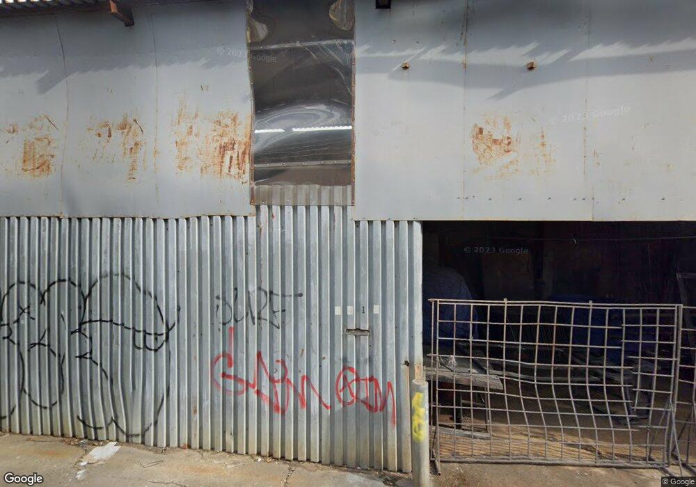
441 van Sinderen Ave Brooklyn, NY 11207
Brownsville NeighborhoodEstimated Value: $1,791,397
--
Bed
--
Bath
15,670
Sq Ft
$114/Sq Ft
Est. Value
About This Home
This home is located at 441 van Sinderen Ave, Brooklyn, NY 11207 and is currently estimated at $1,791,397, approximately $114 per square foot. 441 van Sinderen Ave is a home located in Kings County with nearby schools including P.S. 328 - Phyllis Wheatley, J.H.S 292 Margaret S. Douglas, and Brownsville Collegiate Charter School.
Ownership History
Date
Name
Owned For
Owner Type
Purchase Details
Closed on
Sep 21, 2011
Sold by
441 Van Sinderen Ave Llc
Bought by
Sofia Realty Llc
Current Estimated Value
Purchase Details
Closed on
May 7, 2003
Sold by
Haley Machinery Sales Inc
Bought by
441 Van Sinderen Ave Llc
Purchase Details
Closed on
Aug 15, 2001
Sold by
Freidus Adam Stuart Ex and Freidus Harris Brain
Bought by
Haley Machinery Sales In
Create a Home Valuation Report for This Property
The Home Valuation Report is an in-depth analysis detailing your home's value as well as a comparison with similar homes in the area
Home Values in the Area
Average Home Value in this Area
Purchase History
| Date | Buyer | Sale Price | Title Company |
|---|---|---|---|
| Sofia Realty Llc | $930,000 | -- | |
| 441 Van Sinderen Ave Llc | $726,000 | -- | |
| Haley Machinery Sales In | -- | -- |
Source: Public Records
Mortgage History
| Date | Status | Borrower | Loan Amount |
|---|---|---|---|
| Closed | 441 Van Sinderen Ave Llc | $0 |
Source: Public Records
Tax History Compared to Growth
Tax History
| Year | Tax Paid | Tax Assessment Tax Assessment Total Assessment is a certain percentage of the fair market value that is determined by local assessors to be the total taxable value of land and additions on the property. | Land | Improvement |
|---|---|---|---|---|
| 2025 | $52,356 | $635,400 | $134,550 | $500,850 |
| 2024 | $52,356 | $541,350 | $134,550 | $406,800 |
| 2023 | $50,103 | $553,950 | $134,550 | $419,400 |
| 2022 | $47,767 | $506,250 | $134,550 | $371,700 |
| 2021 | $43,840 | $409,950 | $134,550 | $275,400 |
| 2020 | $643 | $512,100 | $134,550 | $377,550 |
| 2019 | $41,389 | $475,650 | $134,550 | $341,100 |
| 2018 | $38,248 | $409,500 | $134,550 | $274,950 |
| 2017 | $34,890 | $394,650 | $134,550 | $260,100 |
| 2016 | $31,729 | $350,100 | $134,550 | $215,550 |
| 2015 | $17,954 | $338,400 | $134,550 | $203,850 |
| 2014 | $17,954 | $326,250 | $134,550 | $191,700 |
Source: Public Records
Map
Nearby Homes
- 406 Hinsdale St
- 440 Blake Ave
- 297 Hinsdale St
- 533 Snediker Ave
- 637 Blake Ave
- 541 Hinsdale St
- 576 Williams Ave
- 578 Williams Ave
- 582 Williams Ave
- 546 Powell St
- 442 Newport St
- 353 Pennsylvania Ave
- 105 Belmont Ave
- 101 Belmont Ave
- 563 Powell St
- 444 New Jersey Ave
- 699 Sackman St
- 584 Hinsdale St
- 606 Alabama Ave
- 610 Alabama Ave
- 350 Snediker Ave
- 498 Blake Ave
- 360-382 Snediker Ave
- 491 van Sinderen Ave
- 330 Snediker Ave
- 330 Hinsdale St Unit 1
- 330 Hinsdale St
- 330 Hinsdale St Unit 4
- 379-389 Snediker Ave
- 330 Hinsdale St Unit 2
- 330 Hinsdale St Unit 6
- 330 Hinsdale St Unit 5
- 330 Hinsdale St Unit 3
- 330 Hinsdale St Unit 7
- 491 Blake Ave
- 328 Snediker Ave
- 326 Snediker Ave
- 324 Snediker Ave
- 322 Snediker Ave
- 320 Snediker Ave