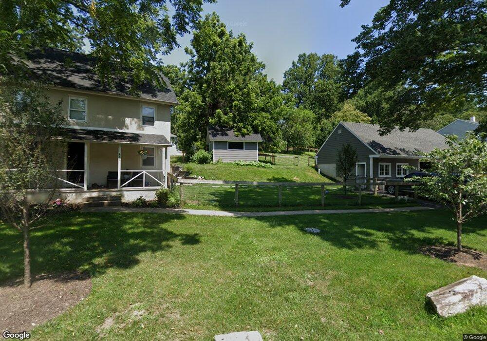
441 W Locust Ln Kennett Square, PA 19348
East Marlborough Township NeighborhoodEstimated Value: $397,000 - $535,000
3
Beds
1
Bath
1,008
Sq Ft
$492/Sq Ft
Est. Value
About This Home
This home is located at 441 W Locust Ln, Kennett Square, PA 19348 and is currently estimated at $495,439, approximately $491 per square foot. 441 W Locust Ln is a home located in Chester County with nearby schools including Hillendale Elementary School, Charles F. Patton Middle School, and Unionville High School.
Ownership History
Date
Name
Owned For
Owner Type
Purchase Details
Closed on
Apr 22, 2019
Sold by
Linn Scott D
Bought by
Stewart Matthew A
Current Estimated Value
Home Financials for this Owner
Home Financials are based on the most recent Mortgage that was taken out on this home.
Original Mortgage
$212,657
Outstanding Balance
$190,381
Interest Rate
5.25%
Mortgage Type
FHA
Estimated Equity
$305,058
Purchase Details
Closed on
Aug 30, 2001
Sold by
Johnson Richard A and Johnson Barbara
Bought by
Linn Scott D
Create a Home Valuation Report for This Property
The Home Valuation Report is an in-depth analysis detailing your home's value as well as a comparison with similar homes in the area
Home Values in the Area
Average Home Value in this Area
Purchase History
| Date | Buyer | Sale Price | Title Company |
|---|---|---|---|
| Stewart Matthew A | $220,000 | Madison Settlement Services | |
| Linn Scott D | $55,000 | -- |
Source: Public Records
Mortgage History
| Date | Status | Borrower | Loan Amount |
|---|---|---|---|
| Open | Stewart Matthew A | $212,657 |
Source: Public Records
Tax History Compared to Growth
Tax History
| Year | Tax Paid | Tax Assessment Tax Assessment Total Assessment is a certain percentage of the fair market value that is determined by local assessors to be the total taxable value of land and additions on the property. | Land | Improvement |
|---|---|---|---|---|
| 2025 | $651 | $189,150 | $52,480 | $136,670 |
| 2024 | $651 | $96,710 | $52,480 | $44,230 |
| 2023 | $651 | $96,710 | $52,480 | $44,230 |
| 2022 | $542 | $96,710 | $52,480 | $44,230 |
| 2021 | $651 | $96,710 | $52,480 | $44,230 |
| 2020 | $524 | $96,710 | $52,480 | $44,230 |
| 2019 | $634 | $96,710 | $52,480 | $44,230 |
| 2018 | $634 | $96,710 | $52,480 | $44,230 |
| 2017 | $634 | $96,710 | $52,480 | $44,230 |
| 2016 | $379 | $96,710 | $52,480 | $44,230 |
| 2015 | $379 | $96,710 | $52,480 | $44,230 |
| 2014 | $379 | $96,710 | $52,480 | $44,230 |
Source: Public Records
Map
Nearby Homes
- 491 N Mill Rd
- 181 Penns Manor Dr
- 705 Potter Dr
- 448 N Mill Rd
- 711 Potter Dr
- 106 Penns Manor Dr
- 117 Deer Creek Crossing
- 250 Kestrel Ct
- 503 W State St
- 636 D St
- 617 Unionville Rd
- 631 Magnolia Ct
- 602 D St
- 621 Magnolia Ct
- 510 D St
- 629 W Mulberry St
- 619 W Mulberry St
- 607 W Mulberry St
- 125 W State St
- 191 W Street Rd
- 439 W Locust Ln
- 532 N Mill Rd
- 534 N Mill Rd
- 521 N Mill Rd
- 458 W Locust Ln
- 437 W Locust Ln
- 456 W Locust Ln
- 516 N Mill Rd
- 536 N Mill Rd
- 538 N Mill Rd Unit LOT3
- 538 N Mill Rd Unit LOT2
- 538 N Mill Rd
- 512 N Mill Rd
- 452 W Locust Ln
- 510 N Mill Rd
- 508 N Mill Rd
- 506 N Mill Rd
- 542 N Mill Rd
- 540 N Mill Rd
- 448 W Locust Ln