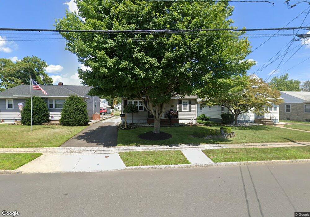
441 W Maple Ave Bound Brook, NJ 08805
Estimated Value: $440,000 - $487,000
Studio
--
Bath
1,248
Sq Ft
$372/Sq Ft
Est. Value
About This Home
This home is located at 441 W Maple Ave, Bound Brook, NJ 08805 and is currently estimated at $464,605, approximately $372 per square foot. 441 W Maple Ave is a home located in Somerset County with nearby schools including LaMonte Annex Elementary School, Lafayette Elementary School, and Bound Brook High School.
Ownership History
Date
Name
Owned For
Owner Type
Purchase Details
Closed on
Dec 19, 1992
Sold by
Apgar Susan and Apgar Bonczak,John
Bought by
Bonczak John and Bonczak Susan
Current Estimated Value
Purchase Details
Closed on
Jun 29, 1992
Sold by
Cocca James and Cocca Mosca,Laurie A
Bought by
Apgar Susan M and Apgar Bonczak,John C
Create a Home Valuation Report for This Property
The Home Valuation Report is an in-depth analysis detailing your home's value as well as a comparison with similar homes in the area
Home Values in the Area
Average Home Value in this Area
Purchase History
| Date | Buyer | Sale Price | Title Company |
|---|---|---|---|
| Bonczak John | -- | -- | |
| Apgar Susan M | $135,900 | -- |
Source: Public Records
Tax History
| Year | Tax Paid | Tax Assessment Tax Assessment Total Assessment is a certain percentage of the fair market value that is determined by local assessors to be the total taxable value of land and additions on the property. | Land | Improvement |
|---|---|---|---|---|
| 2025 | $8,990 | $420,600 | $223,300 | $197,300 |
| 2024 | $8,990 | $396,200 | $204,300 | $191,900 |
Source: Public Records
Map
Nearby Homes
- 428 Helfin St
- 601 Thompson Ave
- 606 Vosseller Ave
- 617 Vosseller Ave
- 561 Marion St
- 22 Glen Rd
- 514 Longwood Ave
- 309 Stratford Place Unit 309
- 265 Metape Cir S
- 126 W High St
- 520 Winsor St
- 432 Talmage Ave
- 107 Chestnut St
- 162 Linden Ave
- 261 W Main St
- 650 Central Ave
- 306 Church St
- 17 Talmage Ave
- 328 John St
- 589 Mountain Ave
- 437 W Maple Ave
- 445 W Maple Ave
- 451 W Maple Ave
- 433 W Maple Ave
- 416 William St
- 444 William St
- 414 William St
- 408 William St Unit 406
- 448 William St
- 510 Thompson Ave
- 512 Thompson Ave
- 455 W Maple Ave
- 425 W Maple Ave
- 421 W Maple Ave
- 446 W Maple Ave
- 438 W Maple Ave
- 514 Thompson Ave
- 448 W Maple Ave
- 410 William St Unit 412
- 434 W Maple Ave
Your Personal Tour Guide
Ask me questions while you tour the home.