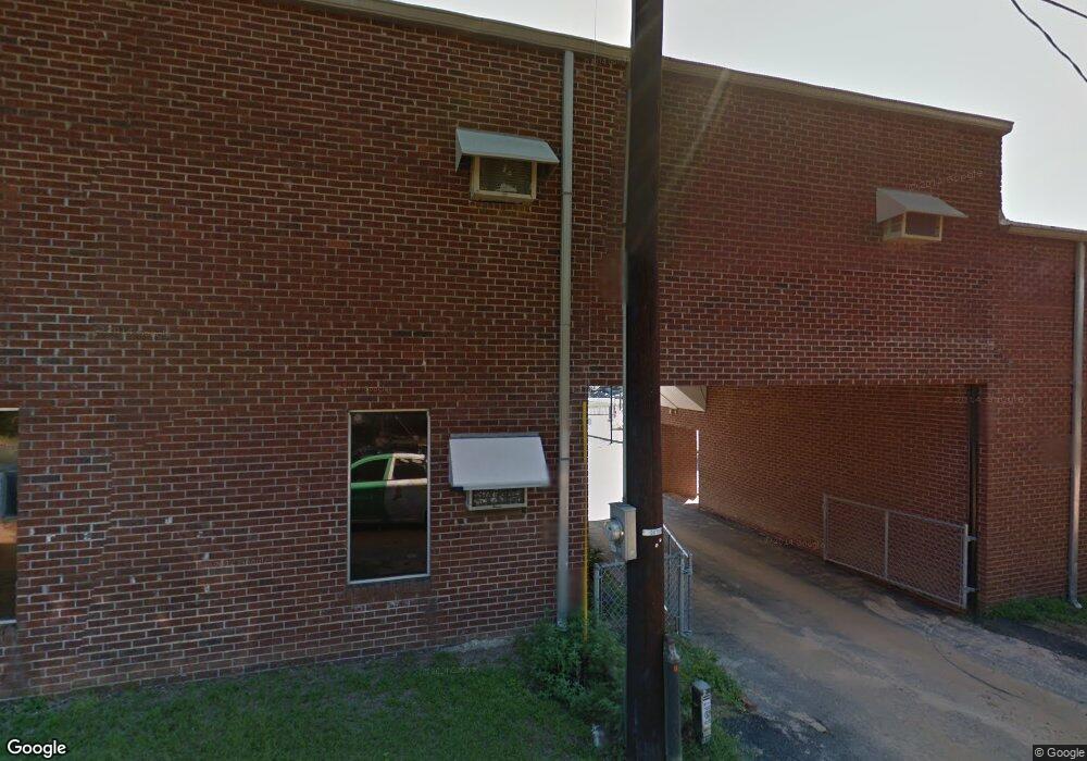
441 West St West Columbia, SC 29169
Estimated Value: $163,000 - $168,000
--
Bed
--
Bath
720
Sq Ft
$230/Sq Ft
Est. Value
About This Home
This home is located at 441 West St, West Columbia, SC 29169 and is currently estimated at $165,500, approximately $229 per square foot. 441 West St is a home located in Lexington County with nearby schools including Riverbank Elementary, Cyril B. Busbee Creative Arts Academy, and Brookland-Cayce High School.
Ownership History
Date
Name
Owned For
Owner Type
Purchase Details
Closed on
Feb 29, 2012
Sold by
Vinson Phillip S
Bought by
Vinson Properties Llc
Current Estimated Value
Purchase Details
Closed on
Feb 17, 2012
Sold by
Vinson Nicole C
Bought by
Vinson Properties Llc
Purchase Details
Closed on
Mar 9, 2004
Sold by
Vinson Sandy G
Bought by
Vinson Properties Llc
Create a Home Valuation Report for This Property
The Home Valuation Report is an in-depth analysis detailing your home's value as well as a comparison with similar homes in the area
Home Values in the Area
Average Home Value in this Area
Purchase History
| Date | Buyer | Sale Price | Title Company |
|---|---|---|---|
| Vinson Properties Llc | -- | -- | |
| Vinson Properties Llc | -- | -- | |
| Vinson Properties Llc | -- | -- | |
| Vinson Properties Llc | -- | -- | |
| Vinson Properties Llc | -- | -- | |
| Vinson Properties Llc | -- | -- | |
| Vinson Properties Llc | -- | -- | |
| Vinson Properties Llc | -- | -- | |
| Vinson Properties Llc | -- | -- | |
| Vinson Properties Llc | -- | -- | |
| Vinson Properties Llc | -- | -- | |
| Vinson Properties Llc | -- | -- |
Source: Public Records
Tax History Compared to Growth
Tax History
| Year | Tax Paid | Tax Assessment Tax Assessment Total Assessment is a certain percentage of the fair market value that is determined by local assessors to be the total taxable value of land and additions on the property. | Land | Improvement |
|---|---|---|---|---|
| 2024 | $311 | $904 | $759 | $145 |
| 2023 | $311 | $904 | $759 | $145 |
| 2022 | $290 | $904 | $759 | $145 |
| 2020 | $279 | $904 | $759 | $145 |
| 2019 | $247 | $786 | $618 | $168 |
| 2018 | $245 | $786 | $618 | $168 |
| 2017 | $242 | $786 | $618 | $168 |
| 2016 | $244 | $786 | $618 | $168 |
| 2014 | $235 | $899 | $779 | $120 |
| 2013 | -- | $900 | $780 | $120 |
Source: Public Records
Map
Nearby Homes
- 1802 D Ave
- 1610 Crapps Ave
- 224 17th St
- 222 16th St
- 116 Silver Run Place
- 1629 B Ave
- 135 Silver Run Place
- 1452 C Ave
- 0 Highway 302 Hwy Unit 589442
- 1432 Karlaney Ave
- 1824-1830 Burnham St
- 1010 Sox St
- 911 Charleston Hwy
- 1 Janice Faye Trail
- 1426 B Ave
- 258 Gum Swamp Trail
- 1715 Lacy St
- 1339 C Ave
- 2312 Rainbow Dr
- 1342 Karlaney Ave
- 441 West St
- 441 West St
- 408 West St
- 416 West St
- 1811 Crapps Ave
- 406 1/2 Denham Ave
- 420 West St
- 409 Taylor St Unit ID1043644P
- 409 Taylor St Unit ID1043567P
- 409 Taylor St Unit ID1043575P
- 409 Taylor St
- 407 Taylor St
- 422 West St
- 405 Taylor St
- 411 Taylor St
- 1819 Crapps Ave
- 1808 Crapps Ave
- 1810 Crapps Ave
- 413 Taylor St
- 1804 Crapps Ave
