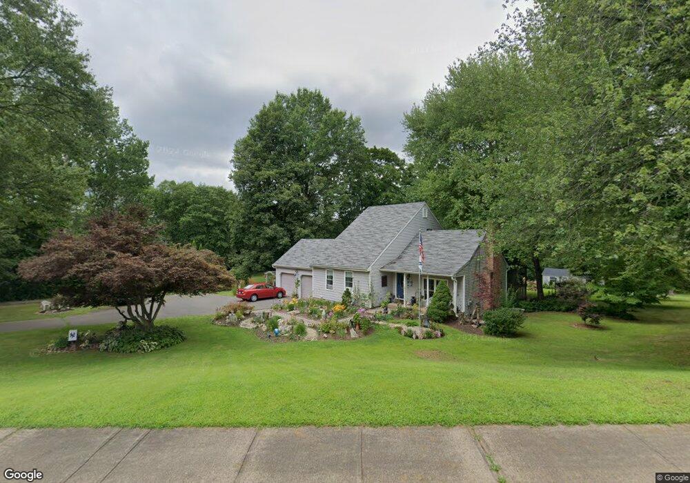
441 Wethersfield Rd Berlin, CT 06037
Estimated Value: $588,030 - $721,000
4
Beds
4
Baths
2,352
Sq Ft
$279/Sq Ft
Est. Value
About This Home
This home is located at 441 Wethersfield Rd, Berlin, CT 06037 and is currently estimated at $657,258, approximately $279 per square foot. 441 Wethersfield Rd is a home located in Hartford County with nearby schools including Richard D. Hubbard School, Catherine M. Mcgee Middle School, and Berlin High School.
Ownership History
Date
Name
Owned For
Owner Type
Purchase Details
Closed on
Oct 1, 1997
Sold by
Janelle Robert W and Janelle Marie B
Bought by
Hall Theodore W and Hall Heather G
Current Estimated Value
Home Financials for this Owner
Home Financials are based on the most recent Mortgage that was taken out on this home.
Original Mortgage
$140,000
Interest Rate
7.41%
Mortgage Type
Unknown
Create a Home Valuation Report for This Property
The Home Valuation Report is an in-depth analysis detailing your home's value as well as a comparison with similar homes in the area
Home Values in the Area
Average Home Value in this Area
Purchase History
| Date | Buyer | Sale Price | Title Company |
|---|---|---|---|
| Hall Theodore W | $238,000 | -- | |
| Hall Theodore W | $238,000 | -- |
Source: Public Records
Mortgage History
| Date | Status | Borrower | Loan Amount |
|---|---|---|---|
| Closed | Hall Theodore W | $107,000 | |
| Closed | Hall Theodore W | $140,000 |
Source: Public Records
Tax History
| Year | Tax Paid | Tax Assessment Tax Assessment Total Assessment is a certain percentage of the fair market value that is determined by local assessors to be the total taxable value of land and additions on the property. | Land | Improvement |
|---|---|---|---|---|
| 2025 | $9,416 | $307,200 | $98,100 | $209,100 |
| 2024 | $9,281 | $307,200 | $98,100 | $209,100 |
| 2023 | $9,081 | $307,200 | $98,100 | $209,100 |
| 2022 | $8,667 | $252,600 | $90,100 | $162,500 |
| 2021 | $8,571 | $252,600 | $90,100 | $162,500 |
| 2020 | $8,571 | $252,600 | $90,100 | $162,500 |
| 2019 | $8,571 | $252,600 | $90,100 | $162,500 |
| 2018 | $8,210 | $252,600 | $90,100 | $162,500 |
| 2017 | $8,155 | $258,000 | $89,200 | $168,800 |
| 2016 | $7,927 | $257,300 | $89,200 | $168,100 |
| 2015 | $7,809 | $257,300 | $89,200 | $168,100 |
| 2014 | $6,955 | $240,500 | $89,200 | $151,300 |
Source: Public Records
Map
Nearby Homes
- 0 Country Ct Unit 137 24077628
- 0 Country Ct Unit 134 24089873
- 8 Webster Ct Unit 8
- 660/674 Church Rear St
- 21 Hidden Valley Dr
- 124 Speno Ridge
- 163 Speno Ridge
- 583 France St
- 55 Cortland Way Unit 55
- 53 Coronado Dr Unit 53
- 104 North Rd
- 25 Coronado Dr
- 825 Worthington Ridge
- 302 Limner Cir Unit 302
- 16 Autumn Cir
- 395 France St
- 212 Church St
- 634 New Britain Ave
- 214 Woodfield Crossing
- 102 Winslow Dr
- 453 Wethersfield Rd
- 54 Northfield Ln
- 433 Wethersfield Rd
- 477 Wethersfield Rd
- 38 Northfield Ln
- 55 Northfield Ln
- 30 Beckley Rd
- 0 Beckley Rd Unit G579817
- 0 Beckley Rd Unit G594677
- 0 Beckley Rd Unit P981582
- 0 Beckley Rd Unit G10121733
- 0 Beckley Rd Unit G10162541
- 0 Beckley Rd
- 26 Northfield Ln
- 51 Northfield Ln
- 497 Wethersfield Rd
- 41 Northfield Ln
- 6 Northfield Ln
- 29 Northfield Ln
- 80 Beckley Rd
Your Personal Tour Guide
Ask me questions while you tour the home.