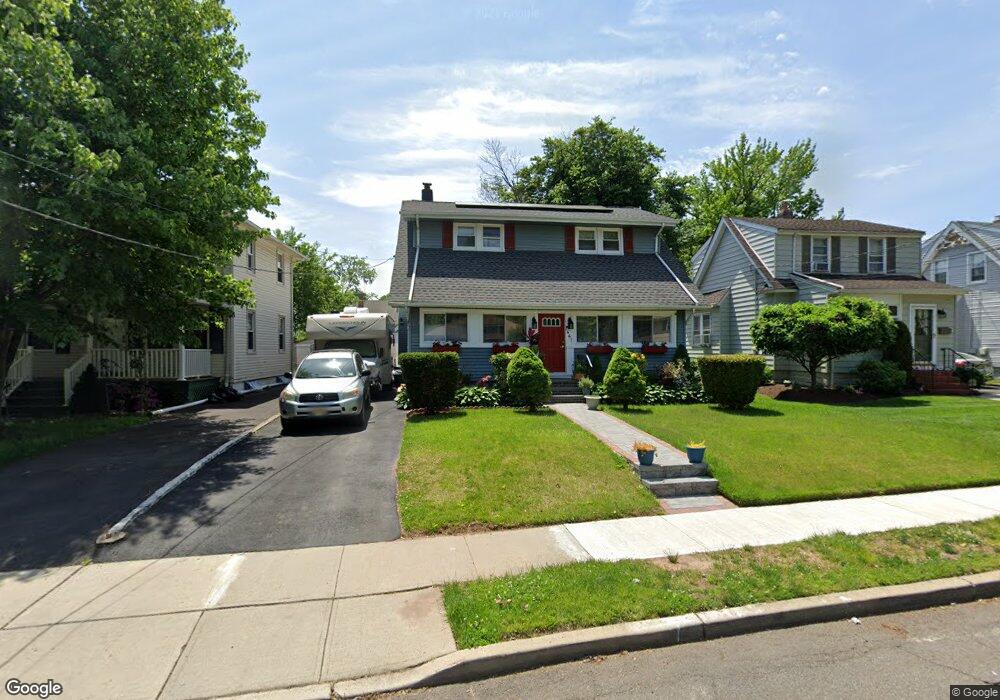
441 Wheatsheaf Rd Roselle, NJ 07203
Estimated Value: $436,000 - $492,000
--
Bed
--
Bath
1,284
Sq Ft
$364/Sq Ft
Est. Value
About This Home
This home is located at 441 Wheatsheaf Rd, Roselle, NJ 07203 and is currently estimated at $467,736, approximately $364 per square foot. 441 Wheatsheaf Rd is a home located in Union County with nearby schools including Washington Elementary School, Leonard V. Moore Middle School, and Grace Wilday Junior High School.
Ownership History
Date
Name
Owned For
Owner Type
Purchase Details
Closed on
Apr 14, 2010
Sold by
Deutsche Bank National Trust Company
Bought by
Exuma Jean D and Exuma Dorine N
Current Estimated Value
Home Financials for this Owner
Home Financials are based on the most recent Mortgage that was taken out on this home.
Original Mortgage
$132,456
Interest Rate
4.82%
Mortgage Type
FHA
Purchase Details
Closed on
Jul 7, 2009
Sold by
Starling Kathleen
Bought by
Deutsche Bank National Trust Company
Purchase Details
Closed on
Apr 3, 2002
Sold by
Starling Kathleen and Watson Maxine
Bought by
Starling Kathleen
Purchase Details
Closed on
Dec 30, 1998
Sold by
Vest Kenneth S and Vest Gail J
Bought by
Starling Kathleen and Watson Maxine
Home Financials for this Owner
Home Financials are based on the most recent Mortgage that was taken out on this home.
Original Mortgage
$106,125
Interest Rate
6.8%
Mortgage Type
FHA
Create a Home Valuation Report for This Property
The Home Valuation Report is an in-depth analysis detailing your home's value as well as a comparison with similar homes in the area
Home Values in the Area
Average Home Value in this Area
Purchase History
| Date | Buyer | Sale Price | Title Company |
|---|---|---|---|
| Exuma Jean D | $134,900 | Title Experts Llc | |
| Deutsche Bank National Trust Company | -- | None Available | |
| Starling Kathleen | -- | -- | |
| Starling Kathleen | $107,000 | -- |
Source: Public Records
Mortgage History
| Date | Status | Borrower | Loan Amount |
|---|---|---|---|
| Previous Owner | Exuma Jean D | $132,456 | |
| Previous Owner | Starling Kathleen | $106,125 |
Source: Public Records
Tax History Compared to Growth
Tax History
| Year | Tax Paid | Tax Assessment Tax Assessment Total Assessment is a certain percentage of the fair market value that is determined by local assessors to be the total taxable value of land and additions on the property. | Land | Improvement |
|---|---|---|---|---|
| 2025 | $10,051 | $115,600 | $62,400 | $53,200 |
| 2024 | $9,799 | $115,600 | $62,400 | $53,200 |
| 2023 | $9,799 | $115,600 | $62,400 | $53,200 |
| 2022 | $9,868 | $115,600 | $62,400 | $53,200 |
| 2021 | $9,809 | $115,600 | $62,400 | $53,200 |
| 2020 | $9,777 | $115,600 | $62,400 | $53,200 |
| 2019 | $9,185 | $110,000 | $62,400 | $47,600 |
| 2018 | $9,134 | $110,000 | $62,400 | $47,600 |
| 2017 | $9,086 | $110,000 | $62,400 | $47,600 |
| 2016 | $8,886 | $110,000 | $62,400 | $47,600 |
| 2015 | $8,885 | $110,000 | $62,400 | $47,600 |
| 2014 | $8,637 | $110,000 | $62,400 | $47,600 |
Source: Public Records
Map
Nearby Homes
- 443 Wheatsheaf Rd
- 403 John St
- 217 Grace St
- 457 W 4th Ave
- 446 W 6th Ave
- 215 Floral St
- 448 Cristiani St
- 203 Vine St
- 201 Sterling Place
- 38 Independence Dr
- 13 Independence Dr
- 248 W 3rd Ave
- 206 Amsterdam Ave
- 216 W 6th Ave
- 323 Dermody St
- 210 W 7th Ave
- 540 W 7th Ave
- 569 Berlant Ave
- 826 Amsterdam Ave
- 132 W 6th Ave
- 423 Martin St
- 427 Martin St
- 433 Wheatsheaf Rd
- 406 W 5th Ave
- 400 W 5th Ave
- 408 W 5th Ave
- 431 Wheatsheaf Rd
- 419 Martin St
- 444 Wheatsheaf Rd
- 410 W 5th Ave
- 436 Wheatsheaf Rd
- 440 Wheatsheaf Rd
- 429 Wheatsheaf Rd
- 374 W 5th Ave
- 409 John St
- 432 Wheatsheaf Rd
- 427 Wheatsheaf Rd
- 414 W 5th Ave
- 405 John St
- 430 Wheatsheaf Rd