441 Whittington Ln Moultrie, GA 31788
Estimated Value: $243,349 - $330,000
--
Bed
2
Baths
2,460
Sq Ft
$117/Sq Ft
Est. Value
About This Home
This home is located at 441 Whittington Ln, Moultrie, GA 31788 and is currently estimated at $288,837, approximately $117 per square foot. 441 Whittington Ln is a home located in Colquitt County with nearby schools including Sunset Elementary School, Willie J. Williams Middle School, and C.A. Gray Junior High School.
Ownership History
Date
Name
Owned For
Owner Type
Purchase Details
Closed on
Feb 2, 2015
Sold by
Whittington David K
Bought by
The Whittington Fam Trust
Current Estimated Value
Purchase Details
Closed on
Oct 26, 2005
Sold by
Whittington David K
Bought by
Gray Glen
Purchase Details
Closed on
Dec 8, 1999
Sold by
Whittington David K
Bought by
Harvest Moon Trust
Purchase Details
Closed on
Apr 1, 1986
Bought by
Whittington David
Create a Home Valuation Report for This Property
The Home Valuation Report is an in-depth analysis detailing your home's value as well as a comparison with similar homes in the area
Home Values in the Area
Average Home Value in this Area
Purchase History
| Date | Buyer | Sale Price | Title Company |
|---|---|---|---|
| The Whittington Fam Trust | -- | -- | |
| Gray Glen | $125,000 | -- | |
| Whittington David K | -- | -- | |
| Harvest Moon Trust | -- | -- | |
| Whittington David | -- | -- |
Source: Public Records
Tax History Compared to Growth
Tax History
| Year | Tax Paid | Tax Assessment Tax Assessment Total Assessment is a certain percentage of the fair market value that is determined by local assessors to be the total taxable value of land and additions on the property. | Land | Improvement |
|---|---|---|---|---|
| 2024 | $1,715 | $76,971 | $4,847 | $72,124 |
| 2023 | $1,623 | $68,908 | $4,847 | $64,061 |
| 2022 | $1,478 | $62,052 | $4,308 | $57,744 |
| 2021 | $1,341 | $55,215 | $4,308 | $50,907 |
| 2020 | $1,283 | $51,893 | $4,308 | $47,585 |
| 2019 | $1,366 | $49,678 | $4,308 | $45,370 |
| 2018 | $1,271 | $49,678 | $4,308 | $45,370 |
| 2017 | $1,331 | $48,901 | $3,531 | $45,370 |
| 2016 | $1,349 | $48,901 | $3,531 | $45,370 |
| 2015 | $1,361 | $48,901 | $3,531 | $45,370 |
| 2014 | $1,336 | $48,901 | $3,531 | $45,370 |
| 2013 | -- | $42,371 | $3,530 | $38,840 |
Source: Public Records
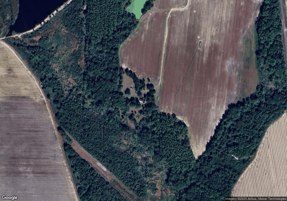
Map
Nearby Homes
- 114 Baell Trace Ct SE
- 124 Flint Dr
- 48 Packer Pride Dr SE
- 65 Packer Pride Dr SE
- 208 Baell Trace Ct SE
- 205 Baell Trace Ct SE
- 213 Baell Trace Ct SE
- 16 Francine Way SE
- 182 Horseshoe Dr
- 3 Baell Trace Ct SE
- 85 Cobblestone Blvd SE
- 35 Cobblestone Blvd SE
- 534 Us Highway 319 S
- 4 Baldwin Place SE
- 31 31st Ave SE
- XX Us Highway 319 S Unit 8-11
- 00 Ragin Rd Unit 7
- 00 Ragin Rd Unit 12
- 135 Southlake Dr
- 387 Tanglewood Dr
- 223 Whittington Ln
- 481 Gene McQueen Rd
- 946 Jd Herndon Rd
- 946 Jd Herndon Rd
- 0 J D Herndon Rd
- 562 Jd Herndon Rd
- 161 Sloan Creek Dr
- 140 Audrey Way
- 168 Audrey Way
- 272 Tallokas Estate
- 302 Tallokas Estate
- 1025 Jd Herndon Rd
- 155 Audrey Way
- 289 Kilgore Rd
- 121 Audrey Way
- 111 Audrey Way
- 135 Audrey Way
- 641 Jd Herndon Rd
- 145 Audrey Way
- 250 Tallokas Estate